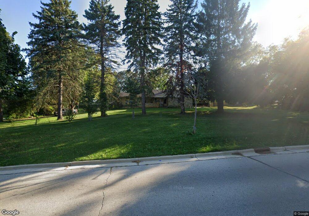
N64W13039 Mill Rd Menomonee Falls, WI 53051
Estimated Value: $425,000 - $497,000
3
Beds
2
Baths
1,608
Sq Ft
$277/Sq Ft
Est. Value
About This Home
This home is located at N64W13039 Mill Rd, Menomonee Falls, WI 53051 and is currently estimated at $445,757, approximately $277 per square foot. N64W13039 Mill Rd is a home located in Waukesha County with nearby schools including North Middle School, Menomonee Falls High School, and Milwaukee Seventh-Day Adventist School.
Ownership History
Date
Name
Owned For
Owner Type
Purchase Details
Closed on
Dec 27, 2006
Sold by
Graves Scott and Graves Scott R
Bought by
Yang Dang and Yang Mai
Current Estimated Value
Home Financials for this Owner
Home Financials are based on the most recent Mortgage that was taken out on this home.
Original Mortgage
$219,600
Outstanding Balance
$130,574
Interest Rate
6.12%
Mortgage Type
Purchase Money Mortgage
Estimated Equity
$315,183
Purchase Details
Closed on
Dec 3, 2004
Sold by
Cox Florence H
Bought by
Cox James T and Rafal Nancy F
Create a Home Valuation Report for This Property
The Home Valuation Report is an in-depth analysis detailing your home's value as well as a comparison with similar homes in the area
Home Values in the Area
Average Home Value in this Area
Purchase History
| Date | Buyer | Sale Price | Title Company |
|---|---|---|---|
| Yang Dang | $244,000 | None Available | |
| Cox James T | -- | -- |
Source: Public Records
Mortgage History
| Date | Status | Borrower | Loan Amount |
|---|---|---|---|
| Open | Yang Dang | $219,600 |
Source: Public Records
Tax History Compared to Growth
Tax History
| Year | Tax Paid | Tax Assessment Tax Assessment Total Assessment is a certain percentage of the fair market value that is determined by local assessors to be the total taxable value of land and additions on the property. | Land | Improvement |
|---|---|---|---|---|
| 2024 | $4,224 | $375,100 | $171,500 | $203,600 |
| 2023 | $4,193 | $375,100 | $171,500 | $203,600 |
| 2022 | $3,957 | $246,700 | $118,200 | $128,500 |
| 2021 | $3,897 | $246,700 | $118,200 | $128,500 |
| 2020 | $3,985 | $246,700 | $118,200 | $128,500 |
| 2019 | $3,811 | $246,700 | $118,200 | $128,500 |
| 2018 | $4,002 | $246,700 | $118,200 | $128,500 |
| 2017 | $4,143 | $246,700 | $118,200 | $128,500 |
| 2016 | $4,216 | $246,700 | $118,200 | $128,500 |
| 2015 | $4,225 | $246,700 | $118,200 | $128,500 |
| 2014 | $4,501 | $246,700 | $118,200 | $128,500 |
| 2013 | $4,501 | $246,700 | $118,200 | $128,500 |
Source: Public Records
Map
Nearby Homes
- N63W13412 Hummingbird Way
- N66W12812 Corryton Ct
- W134N6759 Wild Rose Ct
- 11958 W Mill Rd Unit 24
- W137N6161 Weyer Farm Ct
- 11910 W Mill Rd Unit 6
- 11957 W Appleton Ave Unit 4
- 11937 W Appleton Ave Unit 14
- 11937 W Appleton Ave Unit 20
- 11927 W Appleton Ave Unit 6
- 11917 W Appleton Ave Unit 6
- 6241 N 118th St
- 5861 N 121st St
- 6183 N 118th St
- N64W14282 Mill Rd
- 6172 N 116th St
- 5935 N 117th St
- W139N6995 Bay Ridge Ln
- N65W14542 Redwood Dr
- W142N6966 Oakwood Dr
- N64W13099 Mill Rd
- W130N6375 River Dr
- N64W13123 Mill Rd
- N64W13022 Mill Rd
- N64W12988 Mill Rd
- N64W12929 Mill Rd
- N63W12966 Grove St
- N64W12958 Mill Rd
- N64W13101 Crestwood Dr
- W130N6454 Crestwood Dr
- N64W13125 Crestwood Dr
- W132N6378 Marach Rd
- N64W13177 Mill Rd
- W130N6303 River Dr
- W132N6328 Marach Rd
- N64W12920 Mill Rd
- N63W12922 Grove St
- N64W12885 Mill Rd
- N64W13165 Crestwood Dr
- N63W12969 Grove St