N6542 Balsam Rd Shawano, WI 54166
Estimated Value: $341,594 - $434,000
2
Beds
2
Baths
1,400
Sq Ft
$268/Sq Ft
Est. Value
About This Home
This home is located at N6542 Balsam Rd, Shawano, WI 54166 and is currently estimated at $375,899, approximately $268 per square foot. N6542 Balsam Rd is a home located in Shawano County with nearby schools including Hillcrest Primary School, Brener Elementary School, and Shawano Community Middle School.
Ownership History
Date
Name
Owned For
Owner Type
Purchase Details
Closed on
Aug 28, 2009
Sold by
Clark Roger and Clark Shirley
Bought by
Buelow Wayne W
Current Estimated Value
Home Financials for this Owner
Home Financials are based on the most recent Mortgage that was taken out on this home.
Original Mortgage
$125,000
Outstanding Balance
$82,081
Interest Rate
5.27%
Mortgage Type
Purchase Money Mortgage
Estimated Equity
$293,818
Create a Home Valuation Report for This Property
The Home Valuation Report is an in-depth analysis detailing your home's value as well as a comparison with similar homes in the area
Home Values in the Area
Average Home Value in this Area
Purchase History
| Date | Buyer | Sale Price | Title Company |
|---|---|---|---|
| Buelow Wayne W | $144,000 | Bay Title & Abstract Inc |
Source: Public Records
Mortgage History
| Date | Status | Borrower | Loan Amount |
|---|---|---|---|
| Open | Buelow Wayne W | $125,000 |
Source: Public Records
Tax History Compared to Growth
Tax History
| Year | Tax Paid | Tax Assessment Tax Assessment Total Assessment is a certain percentage of the fair market value that is determined by local assessors to be the total taxable value of land and additions on the property. | Land | Improvement |
|---|---|---|---|---|
| 2024 | $3,163 | $275,200 | $19,400 | $255,800 |
| 2023 | $2,955 | $275,200 | $19,400 | $255,800 |
| 2022 | $2,954 | $186,400 | $10,000 | $176,400 |
| 2021 | $3,253 | $186,400 | $10,000 | $176,400 |
| 2020 | $3,231 | $186,400 | $10,000 | $176,400 |
| 2019 | $2,502 | $151,900 | $10,000 | $141,900 |
| 2018 | $2,162 | $136,800 | $10,000 | $126,800 |
| 2017 | $2,252 | $136,800 | $10,000 | $126,800 |
| 2016 | $2,196 | $136,800 | $10,000 | $126,800 |
| 2015 | $2,071 | $136,800 | $10,000 | $126,800 |
| 2014 | $196,131 | $124,200 | $10,000 | $114,200 |
| 2013 | $2,393 | $124,200 | $10,000 | $114,200 |
Source: Public Records
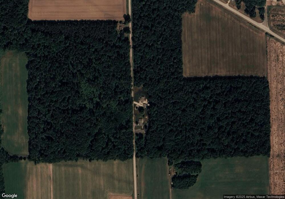
Map
Nearby Homes
- W8141 Broadway Rd
- N6487 St 47 55 Hwy
- N7119 River Dr
- N6002 Wolf River Rd
- N5938 Wolf River Rd
- W7910 Koeller Ln
- N6450 Fox Ln
- W6835 Curt Black Rd
- 114 Circle Dr
- 531 N Main St
- 519 N Main St
- 414 N Lafayette St
- 317 W 3rd St
- N606 Hwy 47 55
- 0 Buss Ct
- 280 Alpine Dr
- W7618 Poplar Rd
- 130 S Andrews St
- 433 Fairview Way
- 206 S Lincoln St
- N6524 Balsam Rd
- N6599 Balsam Rd
- W8010 Hwy A
- W7930 Broadway Rd
- 0 Ash Rd Unit 50017671
- 0 Ash Rd Unit 10901876
- 0 Ash Rd Unit 50017670
- W7976 Broadway Rd
- N6635 Ash Rd
- W8010 County Road A
- N6610 Ash Rd
- N6680 Balsam Rd
- W8074 County Road A
- N6693 Balsam Rd
- N6673 Ash Rd
- W7904 County Road A
- N6696 Balsam Rd
- W7904 County Road A
- W7836 Broadway Rd
- W7886 County Road A