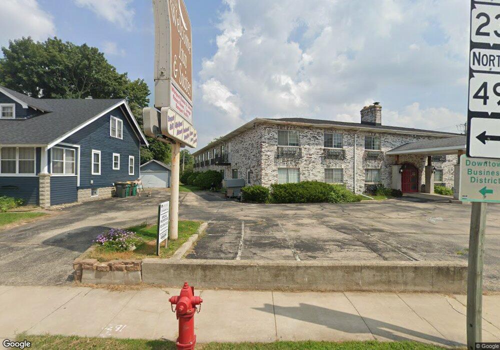
Estimated Value: $474,151 - $1,258,000
4
Beds
2
Baths
2,652
Sq Ft
$262/Sq Ft
Est. Value
About This Home
This home is located at N6635 Hwy Pp, Ripon, WI 54971 and is currently estimated at $695,288, approximately $262 per square foot. N6635 Hwy Pp is a home located in Green Lake County with nearby schools including Barlow Park Elementary School, Murray Park Elementary School, and Ripon Middle School.
Ownership History
Date
Name
Owned For
Owner Type
Purchase Details
Closed on
Feb 9, 2021
Sold by
Kasuboski Daniel M and Kasuboski Marissa L
Bought by
Kasuboski Raelynn M and Kasuboski Joseph
Current Estimated Value
Purchase Details
Closed on
Jul 20, 2018
Sold by
Naebe Armin A and Naebe Annette T
Bought by
Kasuboski Daniel M and Kasuboski Marissa L
Home Financials for this Owner
Home Financials are based on the most recent Mortgage that was taken out on this home.
Original Mortgage
$195,000
Outstanding Balance
$168,997
Interest Rate
4.5%
Mortgage Type
New Conventional
Estimated Equity
$526,291
Purchase Details
Closed on
May 7, 2010
Sold by
Naebe Armin A and Naebe Annette T
Bought by
Naebe Armin A and Naebe Annette T
Create a Home Valuation Report for This Property
The Home Valuation Report is an in-depth analysis detailing your home's value as well as a comparison with similar homes in the area
Purchase History
| Date | Buyer | Sale Price | Title Company |
|---|---|---|---|
| Kasuboski Raelynn M | -- | None Available | |
| Kasuboski Daniel M | $215,000 | None Available | |
| Naebe Armin A | -- | -- |
Source: Public Records
Mortgage History
| Date | Status | Borrower | Loan Amount |
|---|---|---|---|
| Open | Kasuboski Daniel M | $195,000 |
Source: Public Records
Tax History Compared to Growth
Tax History
| Year | Tax Paid | Tax Assessment Tax Assessment Total Assessment is a certain percentage of the fair market value that is determined by local assessors to be the total taxable value of land and additions on the property. | Land | Improvement |
|---|---|---|---|---|
| 2024 | $4,727 | $405,100 | $38,300 | $366,800 |
| 2023 | $3,850 | $204,900 | $25,500 | $179,400 |
| 2022 | $3,240 | $196,100 | $25,500 | $170,600 |
| 2021 | $3,249 | $196,100 | $25,500 | $170,600 |
| 2020 | $3,140 | $196,100 | $25,500 | $170,600 |
| 2019 | $3,353 | $194,500 | $25,500 | $169,000 |
| 2018 | $3,260 | $194,500 | $25,500 | $169,000 |
| 2017 | $3,335 | $194,500 | $25,500 | $169,000 |
| 2016 | $3,449 | $194,500 | $25,500 | $169,000 |
| 2015 | $4,001 | $194,500 | $25,500 | $169,000 |
| 2014 | $3,735 | $194,500 | $25,500 | $169,000 |
| 2013 | $3,716 | $194,500 | $25,500 | $169,000 |
Source: Public Records
Map
Nearby Homes
- W14276 Charles St
- W14390 State Rd 23-49
- N8610 Arcade Glen Rd
- Lot 14 Meadow Dr
- 209 Stone Hill Ct
- 227 Glacial Terrace
- 290 Moraine Dr
- 291 Moraine Dr
- 250 Moraine Dr
- 234 Moraine Dr
- 274 Moraine Dr
- 9268 Tri-County Rd
- 219 Glacial Terrace
- W895 Wisconsin 23
- 369 Drumlin Loop
- 375 Drumlin Loop
- 333 Drumlin Loop
- 317 Drumlin Loop
- 301 Drumlin Loop
- 1068 Combe St
- N6635 County Road Pp
- N6621 County Road Pp
- N6637 County Road Pp
- N6639 County Road Pp
- N6641 County Road Pp
- N6640 County Road Pp
- N6640 County Road Pp
- N6678 County Road Pp
- N6698 County Road Pp
- N9172 County Road Ff
- N8857 County Road Pp
- N9154 County Road Ff
- N8889 County Road Pp
- N9197 County Road Ff
- N9235 County Road Ff
- N8851 County Road Pp
- N9241 County Road Ff
- N9129 County Road Ff
- N9247 County Road Ff
- N9074 County Road Ff
