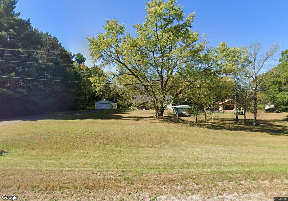
N6689 State Highway 47 55 Shawano, WI 54166
Estimated Value: $263,000 - $399,000
3
Beds
2
Baths
1,344
Sq Ft
$254/Sq Ft
Est. Value
About This Home
This home is located at N6689 State Highway 47 55, Shawano, WI 54166 and is currently estimated at $341,020, approximately $253 per square foot. N6689 State Highway 47 55 is a home located in Shawano County with nearby schools including Hillcrest Primary School, Brener Elementary School, and Shawano Community Middle School.
Ownership History
Date
Name
Owned For
Owner Type
Purchase Details
Closed on
Jun 28, 2024
Sold by
Petersen Robin L and Petersen Kathryn C.
Bought by
Vanoss Erin Marie and Vanoss Benjamin J.
Current Estimated Value
Purchase Details
Closed on
Oct 18, 2012
Sold by
Galaszewski Carol J
Bought by
Petersen Robin L and Petersen Kathryn C
Create a Home Valuation Report for This Property
The Home Valuation Report is an in-depth analysis detailing your home's value as well as a comparison with similar homes in the area
Home Values in the Area
Average Home Value in this Area
Purchase History
| Date | Buyer | Sale Price | Title Company |
|---|---|---|---|
| Vanoss Erin Marie | $305,000 | Bay Title & Abstract, Inc. | |
| Petersen Robin L | $130,000 | Bay Title & Abstract Inc |
Source: Public Records
Tax History Compared to Growth
Tax History
| Year | Tax Paid | Tax Assessment Tax Assessment Total Assessment is a certain percentage of the fair market value that is determined by local assessors to be the total taxable value of land and additions on the property. | Land | Improvement |
|---|---|---|---|---|
| 2024 | $3,595 | $239,900 | $102,600 | $137,300 |
| 2023 | $4,448 | $297,200 | $159,900 | $137,300 |
| 2022 | $3,945 | $297,200 | $159,900 | $137,300 |
| 2021 | $3,879 | $202,800 | $99,900 | $102,900 |
| 2020 | $3,668 | $202,800 | $99,900 | $102,900 |
| 2019 | $3,654 | $202,800 | $99,900 | $102,900 |
| 2018 | $3,525 | $202,800 | $99,900 | $102,900 |
| 2017 | $3,404 | $202,800 | $99,900 | $102,900 |
| 2016 | $3,444 | $202,800 | $99,900 | $102,900 |
| 2015 | $3,487 | $202,800 | $99,900 | $102,900 |
| 2014 | $351,195 | $202,800 | $99,900 | $102,900 |
| 2013 | $3,573 | $202,800 | $99,900 | $102,900 |
Source: Public Records
Map
Nearby Homes
- N6487 St 47 55 Hwy
- N7119 River Dr
- W8141 Broadway Rd
- N6450 Fox Ln
- N6002 Wolf River Rd
- N5938 Wolf River Rd
- W6835 Curt Black Rd
- N606 Hwy 47 55
- W7910 Koeller Ln
- 531 N Main St
- 519 N Main St
- 0 Buss Ct
- 114 Circle Dr
- 414 N Lafayette St
- 317 W 3rd St
- 280 Alpine Dr
- 433 Fairview Way
- 511 E 5th St
- N6321 Cattau Beach Dr
- 127 Channel Trace
- N6689 State Highway 47 55
- N6696 State Highway 47 55
- N6696 State Highway 47 55
- N6725 Balsam Row Rd
- N6654 State Highway 47 55
- N6644 State Highway 47 55
- N6735 Balsam Row Rd
- N6730 Balsam Row Rd
- N6624 State Highway 47 55
- N6745 Balsam Row Rd
- N6626 Wisconsin 47
- N6606 State Highway 47 55
- N6760 S Forest Haven Rd
- N6626 State Highway 47 55
- N6809 Balsam Row Rd
- N6808 Balsam Row Rd
- N6823 Balsam Row Rd
- N6544 State Highway 47 55
- N6831 Balsam Row Rd
- N6839 Balsam Row Rd