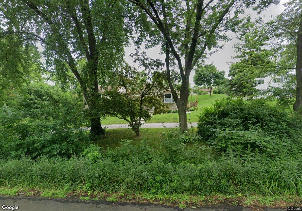
N66W20141 High Point Ave Menomonee Falls, WI 53051
Estimated Value: $445,000 - $462,000
3
Beds
2
Baths
2,049
Sq Ft
$222/Sq Ft
Est. Value
About This Home
This home is located at N66W20141 High Point Ave, Menomonee Falls, WI 53051 and is currently estimated at $455,539, approximately $222 per square foot. N66W20141 High Point Ave is a home located in Waukesha County with nearby schools including Lannon Elementary School, Templeton Middle School, and Hamilton High School.
Ownership History
Date
Name
Owned For
Owner Type
Purchase Details
Closed on
Oct 8, 2021
Sold by
Cozzuli Lois J
Bought by
Miota Bethany Michelle and Tianen Patrick
Current Estimated Value
Home Financials for this Owner
Home Financials are based on the most recent Mortgage that was taken out on this home.
Original Mortgage
$315,300
Outstanding Balance
$287,524
Interest Rate
2.8%
Mortgage Type
New Conventional
Estimated Equity
$168,015
Purchase Details
Closed on
Aug 22, 2014
Sold by
Cozzuli Stanley W
Bought by
Cozzuli Lois J
Purchase Details
Closed on
Dec 9, 2004
Sold by
Cozzuli Stanley W and Cozzuli Lois J
Bought by
Cozzuli Stanley W and Cozzuli Lois J
Create a Home Valuation Report for This Property
The Home Valuation Report is an in-depth analysis detailing your home's value as well as a comparison with similar homes in the area
Home Values in the Area
Average Home Value in this Area
Purchase History
| Date | Buyer | Sale Price | Title Company |
|---|---|---|---|
| Miota Bethany Michelle | $325,200 | None Available | |
| Cozzuli Lois J | -- | None Available | |
| Cozzuli Stanley W | -- | None Available |
Source: Public Records
Mortgage History
| Date | Status | Borrower | Loan Amount |
|---|---|---|---|
| Open | Miota Bethany Michelle | $315,300 |
Source: Public Records
Tax History Compared to Growth
Tax History
| Year | Tax Paid | Tax Assessment Tax Assessment Total Assessment is a certain percentage of the fair market value that is determined by local assessors to be the total taxable value of land and additions on the property. | Land | Improvement |
|---|---|---|---|---|
| 2024 | $3,972 | $354,800 | $108,500 | $246,300 |
| 2023 | $3,816 | $354,800 | $108,500 | $246,300 |
| 2022 | $3,716 | $233,100 | $74,500 | $158,600 |
| 2021 | $3,499 | $233,100 | $74,500 | $158,600 |
| 2020 | $3,518 | $233,100 | $74,500 | $158,600 |
| 2019 | $3,532 | $233,100 | $74,500 | $158,600 |
| 2018 | $3,394 | $233,100 | $74,500 | $158,600 |
| 2017 | $3,826 | $233,100 | $74,500 | $158,600 |
| 2016 | $3,386 | $233,100 | $74,500 | $158,600 |
| 2015 | $3,556 | $233,100 | $74,500 | $158,600 |
| 2014 | $3,942 | $233,100 | $74,500 | $158,600 |
| 2013 | $3,942 | $233,100 | $74,500 | $158,600 |
Source: Public Records
Map
Nearby Homes
- W207N6838 Flora Dr
- W212N6831 Fairview Dr
- N68W21252 Fairview Dr
- W214N6711 Fairview Dr
- W214N6684 Fairview Dr
- N64W20755 Mill Rd
- W214N6672 Fairview Dr
- Lt15 Fairview Dr
- W214N6683 Fairview Dr
- N66W21075 Sweet Clover Dr
- N66W20903 Sweet Clover Dr
- N66W20955 Sweet Clover Dr
- N66W21009 Sagebrush Dr
- Lt3 Good Hope Rd
- 20820 Gray St
- 20712 W Main St
- 20840 Gray St
- 20649 W Main St
- 20860 Gray St
- 20900 Gray St
- N66W20141 Highpoint Ave
- N66W20181 High Point Ave
- N66W20152 Ridge Ct
- N66W20140 High Point Ave
- N66W20196 High Point Ave
- N66W20202 Ridge Ct
- W202N6668 Ridge Ct
- N66W20179 Ridge Ct
- W202N6690 Ridge Ct
- N66W20205 Ridge Ct
- N66W20145 Ridge Ct
- W202N6712 Ridge Ct
- N66W20259 High Point Ave
- W202N6651 Ridge Ct
- W202N6671 Ridge Ct
- W202N6687 Ridge Ct
- W202N6705 Ridge Ct
- N66W20291 High Point Ave
- N66W20350 High Point Ave
- N66W20331 High Point Ave