N66W35930 Farmstead Ct Oconomowoc, WI 53066
Estimated Value: $731,000 - $801,000
4
Beds
4
Baths
--
Sq Ft
0.79
Acres
About This Home
This home is located at N66W35930 Farmstead Ct, Oconomowoc, WI 53066 and is currently estimated at $768,403. N66W35930 Farmstead Ct is a home located in Waukesha County with nearby schools including Meadow View Elementary School, Nature Hill Intermediate School, and Oconomowoc High School.
Ownership History
Date
Name
Owned For
Owner Type
Purchase Details
Closed on
Aug 31, 2023
Sold by
Seeger Lisa
Bought by
Seeger Matthew J
Current Estimated Value
Purchase Details
Closed on
May 21, 2013
Sold by
Wutt Jason and Nelson Anne Marie
Bought by
Seeger Matthew J and Seeger Lisa
Purchase Details
Closed on
Oct 13, 2010
Sold by
Woodside Farms Inc
Bought by
Wutt Jason and Nelson Anne Marie
Home Financials for this Owner
Home Financials are based on the most recent Mortgage that was taken out on this home.
Original Mortgage
$39,000
Interest Rate
3.75%
Mortgage Type
New Conventional
Create a Home Valuation Report for This Property
The Home Valuation Report is an in-depth analysis detailing your home's value as well as a comparison with similar homes in the area
Home Values in the Area
Average Home Value in this Area
Purchase History
| Date | Buyer | Sale Price | Title Company |
|---|---|---|---|
| Seeger Matthew J | -- | None Listed On Document | |
| Seeger Matthew J | $65,000 | None Available | |
| Wutt Jason | $49,000 | None Available |
Source: Public Records
Mortgage History
| Date | Status | Borrower | Loan Amount |
|---|---|---|---|
| Previous Owner | Wutt Jason | $39,000 |
Source: Public Records
Tax History Compared to Growth
Tax History
| Year | Tax Paid | Tax Assessment Tax Assessment Total Assessment is a certain percentage of the fair market value that is determined by local assessors to be the total taxable value of land and additions on the property. | Land | Improvement |
|---|---|---|---|---|
| 2024 | $5,838 | $514,300 | $110,800 | $403,500 |
| 2023 | $5,388 | $514,300 | $110,800 | $403,500 |
| 2022 | $5,910 | $514,300 | $110,800 | $403,500 |
| 2021 | $5,521 | $437,000 | $100,800 | $336,200 |
| 2020 | $5,620 | $437,000 | $100,800 | $336,200 |
| 2019 | $5,484 | $437,000 | $100,800 | $336,200 |
| 2018 | $5,234 | $391,200 | $91,900 | $299,300 |
| 2017 | $5,269 | $391,200 | $91,900 | $299,300 |
| 2016 | $5,170 | $364,500 | $89,300 | $275,200 |
| 2015 | $5,387 | $364,500 | $89,300 | $275,200 |
| 2014 | $998 | $220,000 | $89,300 | $130,700 |
| 2013 | $998 | $62,900 | $62,900 | $0 |
Source: Public Records
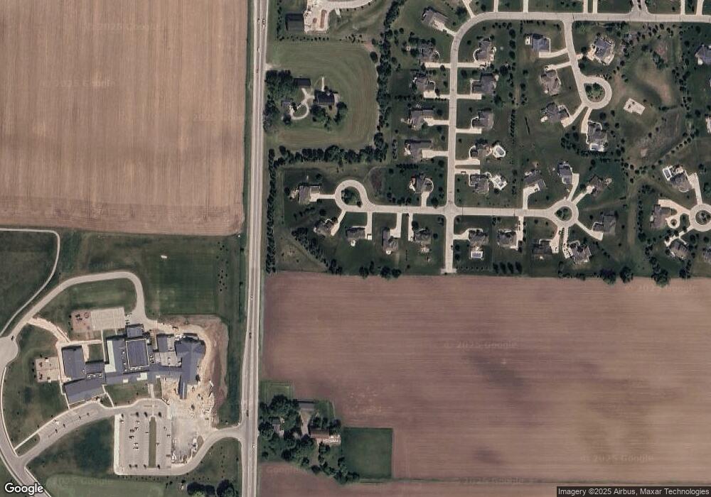
Map
Nearby Homes
- N66W35950 Farmstead Ct
- W358N6291 Ennis Rd
- 1724 Whalen Dr
- 1750 Whalen Dr
- 1742 Whalen Dr
- 1746 Whalen Dr
- 1690 Whalen Dr
- 1700 Whalen Dr
- 1730 Whalen Dr
- W358N6309 Ennis Rd
- W358N6271 Ennis Rd
- W359N6209 Margaret Ct
- 1529 Miller Ct
- 1275 Wild Rye Ln
- 1451 Whalen Dr
- 1380 Prairie Creek Cir Unit 16E
- 1388 Prairie Creek Cir Unit 12
- 1320 Prairie Creek Cir Unit 2
- 1382 Prairie Creek Cir Unit 15D
- 1259 Wild Rye Ln
- N66W35930 Farmstead Ct Unit N66W35930
- N66W35910 Farmstead Ct
- N66W35890 Farmstead Ct
- N66W35960 Farmstead Ct
- N66W35897 Farmstead Ct
- W358N6699 W Stonewood Dr
- W358N6650 W Stonewood Dr
- W358N6705 W Stonewood Dr
- W358N6688 W Stonewood Dr
- W359N6702 Brown St
- N66W35833 W Spring Hollow Cir
- W358N6694 W Stonewood Dr
- W358N6715 W Stonewood Dr
- W358N6702 W Stonewood Dr
- N66W35796 W Spring Hollow Cir
- W358N6733 W Stonewood Dr
- W358N6710 W Stonewood Dr
- W358N6690 W Spring Hollow Cir
- N66W35776 W Spring Hollow Cir
- W357N6703 Sommerville Cir