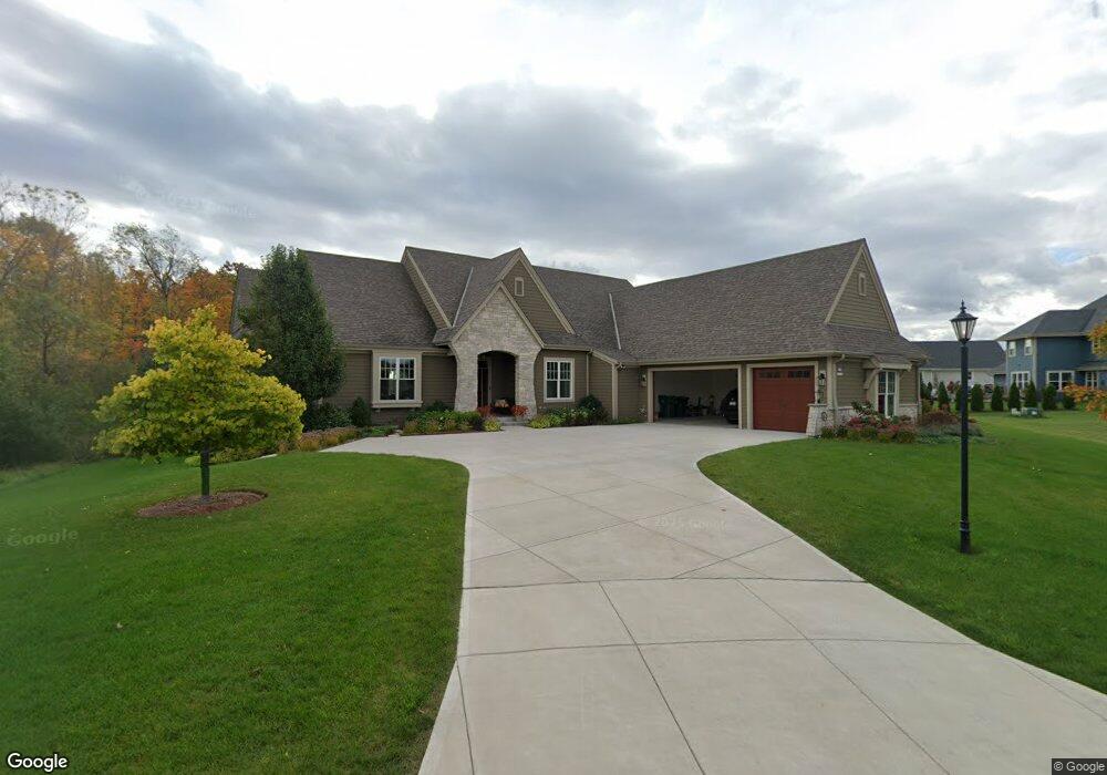
N67W13223 Westview Cir Menomonee Falls, WI 53051
Estimated Value: $868,000 - $976,000
4
Beds
4
Baths
3,917
Sq Ft
$231/Sq Ft
Est. Value
About This Home
This home is located at N67W13223 Westview Cir, Menomonee Falls, WI 53051 and is currently estimated at $904,098, approximately $230 per square foot. N67W13223 Westview Cir is a home with nearby schools including Riverside Elementary School, North Middle School, and Menomonee Falls High School.
Ownership History
Date
Name
Owned For
Owner Type
Purchase Details
Closed on
Jan 17, 2023
Sold by
Khadem Hooshang and Khadem Fatemeh
Bought by
Jacob Jerene and Joy Christina Mariyam
Current Estimated Value
Purchase Details
Closed on
Sep 19, 2019
Sold by
Marshall Steve F and Marshall Mary A
Bought by
Marshall Steven F and Marshall Mary A
Home Financials for this Owner
Home Financials are based on the most recent Mortgage that was taken out on this home.
Original Mortgage
$676,116
Interest Rate
3.37%
Mortgage Type
Construction
Purchase Details
Closed on
Jul 29, 2019
Sold by
Lilly Creek V Llc
Bought by
Marshall Steven F and Marshall Mary A
Home Financials for this Owner
Home Financials are based on the most recent Mortgage that was taken out on this home.
Original Mortgage
$676,116
Interest Rate
3.37%
Mortgage Type
Construction
Create a Home Valuation Report for This Property
The Home Valuation Report is an in-depth analysis detailing your home's value as well as a comparison with similar homes in the area
Home Values in the Area
Average Home Value in this Area
Purchase History
| Date | Buyer | Sale Price | Title Company |
|---|---|---|---|
| Jacob Jerene | $640,000 | -- | |
| Marshall Steven F | -- | Members Title Group | |
| Marshall Steven F | $157,000 | None Available |
Source: Public Records
Mortgage History
| Date | Status | Borrower | Loan Amount |
|---|---|---|---|
| Previous Owner | Marshall Steven F | $676,116 |
Source: Public Records
Tax History Compared to Growth
Tax History
| Year | Tax Paid | Tax Assessment Tax Assessment Total Assessment is a certain percentage of the fair market value that is determined by local assessors to be the total taxable value of land and additions on the property. | Land | Improvement |
|---|---|---|---|---|
| 2024 | $8,949 | $785,200 | $155,900 | $629,300 |
| 2023 | $8,640 | $785,200 | $155,900 | $629,300 |
| 2022 | $9,418 | $577,300 | $107,600 | $469,700 |
| 2021 | $9,023 | $577,300 | $107,600 | $469,700 |
| 2020 | $5,109 | $293,700 | $107,600 | $186,100 |
| 2019 | $1,705 | $107,600 | $107,600 | $0 |
Source: Public Records
Map
Nearby Homes
- W134N6759 Wild Rose Ct
- N66W12812 Corryton Ct
- N72W13429 Good Hope Rd
- W139N6995 Bay Ridge Ln
- N63W13412 Hummingbird Way
- W142N6966 Oakwood Dr
- 7118 N 124th St
- 11917 W Appleton Ave Unit 6
- 11927 W Appleton Ave Unit 6
- 11958 W Mill Rd Unit 24
- 11957 W Appleton Ave Unit 4
- 11937 W Appleton Ave Unit 14
- 11937 W Appleton Ave Unit 20
- 11910 W Mill Rd Unit 6
- N64W14282 Mill Rd
- N74W13737 Appleton Ave Unit 107
- N65W14542 Redwood Dr
- W137N6161 Weyer Farm Ct
- 6729 N 115th St
- 6241 N 118th St
- W132N6776 Westview Cir Unit Lt134
- W132N6776 Westview Cir
- W132N6754 Westview Cir
- W132N6746 Westview Cir Unit Lt132
- N67W13204 Westview Cir
- N67W13204 Westview Cir Unit N67W13204
- N67W13270 Westview Cir
- W132N6722 Westview Cir
- W132N6779 Westview Cir
- W132N6795 Westview Cir
- N67W13154 Daylily Dr
- N67W13154 Daylily Dr Unit N67W13154
- W132N6743 Westview Cir
- N67W13310 Daylily Dr
- N67W13374 Roman Ct
- N67W13120 Daylily Dr
- N67W13215 Daylily Dr
- N67W13309 Daylily Dr
- W134N6822 Wild Rose Ct
- N67W13249 Daylily Dr