N6870 Balsam Row Rd Shawano, WI 54166
Estimated Value: $332,118 - $392,000
3
Beds
2
Baths
1,450
Sq Ft
$255/Sq Ft
Est. Value
About This Home
This home is located at N6870 Balsam Row Rd, Shawano, WI 54166 and is currently estimated at $369,530, approximately $254 per square foot. N6870 Balsam Row Rd is a home located in Shawano County with nearby schools including Hillcrest Primary School, Brener Elementary School, and Shawano Community Middle School.
Ownership History
Date
Name
Owned For
Owner Type
Purchase Details
Closed on
Jul 26, 2016
Sold by
Parshen Larry W
Bought by
Parshen Larry W
Current Estimated Value
Purchase Details
Closed on
Jan 24, 2009
Sold by
Dudeck Fna Parshen Elizabeth J
Bought by
Parshen Larry W
Create a Home Valuation Report for This Property
The Home Valuation Report is an in-depth analysis detailing your home's value as well as a comparison with similar homes in the area
Home Values in the Area
Average Home Value in this Area
Purchase History
| Date | Buyer | Sale Price | Title Company |
|---|---|---|---|
| Parshen Larry W | $74,950 | -- | |
| Parshen Larry W | $163,400 | -- |
Source: Public Records
Mortgage History
| Date | Status | Borrower | Loan Amount |
|---|---|---|---|
| Closed | Parshen Larry W | $0 |
Source: Public Records
Tax History Compared to Growth
Tax History
| Year | Tax Paid | Tax Assessment Tax Assessment Total Assessment is a certain percentage of the fair market value that is determined by local assessors to be the total taxable value of land and additions on the property. | Land | Improvement |
|---|---|---|---|---|
| 2024 | $3,790 | $264,800 | $11,800 | $253,000 |
| 2023 | $3,238 | $232,100 | $11,800 | $220,300 |
| 2022 | $2,646 | $214,900 | $11,200 | $203,700 |
| 2021 | $2,814 | $161,100 | $9,300 | $151,800 |
| 2020 | $2,734 | $161,100 | $9,300 | $151,800 |
| 2019 | $2,701 | $161,100 | $9,300 | $151,800 |
| 2018 | $2,499 | $154,100 | $9,300 | $144,800 |
| 2017 | $2,455 | $154,100 | $9,300 | $144,800 |
| 2016 | $2,472 | $154,100 | $9,300 | $144,800 |
| 2015 | $2,525 | $154,100 | $9,300 | $144,800 |
| 2014 | $253,871 | $154,100 | $9,300 | $144,800 |
| 2013 | $2,699 | $154,100 | $9,300 | $144,800 |
Source: Public Records
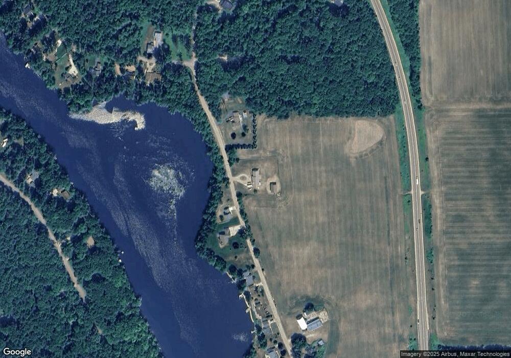
Map
Nearby Homes
- N7119 River Dr
- N6487 St 47 55 Hwy
- W8141 Broadway Rd
- N6450 Fox Ln
- N6002 Wolf River Rd
- W6835 Curt Black Rd
- N606 Hwy 47 55
- N5938 Wolf River Rd
- 672 Wolf River Ave
- W7910 Koeller Ln
- 531 N Main St
- 519 N Main St
- 114 Circle Dr
- 0 Buss Ct
- 414 N Lafayette St
- 317 W 3rd St
- N6321 Cattau Beach Dr
- 280 Alpine Dr
- 433 Fairview Way
- W6007 Lake Dr
- Lt2 Balsam Row Rd
- Lot2 Balsam Row Rd
- N7061 Balsam Row Rd
- lot #2 Balsam Row Rd
- 0 Balsam Row Rd Unit 50152324
- 0 Balsam Row Rd Unit 50225363
- 0 Balsam Row Rd Unit 50215555
- 0 Balsam Row Rd Unit 50004308
- 0 Balsam Row Rd Unit 50079582
- 0 Balsam Row Rd Unit 50112720
- 0 Balsam Row Rd Unit 50137144
- 0 Balsam Row Rd Unit 50197169
- n 6867 Balsam Row Rd
- n 6867 Balsam Row Rd Unit N6867
- N6898 Balsam Row Rd
- N6865 Balsam Row Rd
- N6904 Balsam Row Rd
- N6847 Balsam Row Rd
- N6839 Balsam Row Rd
- N6831 Balsam Row Rd