N6944 Balsam Row Rd Shawano, WI 54166
Estimated Value: $290,000 - $422,000
4
Beds
2
Baths
2,636
Sq Ft
$136/Sq Ft
Est. Value
About This Home
This home is located at N6944 Balsam Row Rd, Shawano, WI 54166 and is currently estimated at $358,690, approximately $136 per square foot. N6944 Balsam Row Rd is a home located in Shawano County with nearby schools including Hillcrest Primary School, Brener Elementary School, and Shawano Community Middle School.
Ownership History
Date
Name
Owned For
Owner Type
Purchase Details
Closed on
Aug 16, 2017
Sold by
Klitzke Gary R & B L Trust
Bought by
Beyer Cassie Marie and Beyer Ryan Tyler
Current Estimated Value
Purchase Details
Closed on
May 23, 2005
Sold by
Klitzke Gary R and Klitzke Betty L
Bought by
Gary R Klitzke and Klitzke J Betty L
Create a Home Valuation Report for This Property
The Home Valuation Report is an in-depth analysis detailing your home's value as well as a comparison with similar homes in the area
Home Values in the Area
Average Home Value in this Area
Purchase History
| Date | Buyer | Sale Price | Title Company |
|---|---|---|---|
| Beyer Cassie Marie | $130,000 | -- | |
| Gary R Klitzke | -- | -- |
Source: Public Records
Mortgage History
| Date | Status | Borrower | Loan Amount |
|---|---|---|---|
| Closed | Gary R Klitzke | $0 |
Source: Public Records
Tax History Compared to Growth
Tax History
| Year | Tax Paid | Tax Assessment Tax Assessment Total Assessment is a certain percentage of the fair market value that is determined by local assessors to be the total taxable value of land and additions on the property. | Land | Improvement |
|---|---|---|---|---|
| 2024 | $3,771 | $251,500 | $16,800 | $234,700 |
| 2023 | $3,756 | $251,500 | $16,800 | $234,700 |
| 2022 | $3,330 | $251,500 | $16,800 | $234,700 |
| 2021 | $3,591 | $188,000 | $13,900 | $174,100 |
| 2020 | $3,396 | $188,000 | $13,900 | $174,100 |
| 2019 | $3,383 | $188,000 | $13,900 | $174,100 |
| 2018 | $3,263 | $188,000 | $13,900 | $174,100 |
| 2017 | $3,151 | $188,000 | $13,900 | $174,100 |
| 2016 | $3,187 | $188,000 | $13,900 | $174,100 |
| 2015 | $3,228 | $188,000 | $13,900 | $174,100 |
| 2014 | $325,076 | $188,000 | $13,900 | $174,100 |
| 2013 | $3,308 | $188,000 | $13,900 | $174,100 |
Source: Public Records
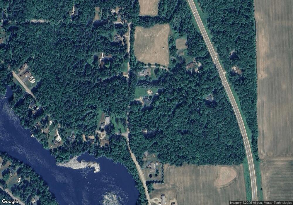
Map
Nearby Homes
- N7119 River Dr
- N6487 St 47 55 Hwy
- W8141 Broadway Rd
- N6450 Fox Ln
- N606 Hwy 47 55
- N6002 Wolf River Rd
- W6835 Curt Black Rd
- N5938 Wolf River Rd
- 672 Wolf River Ave
- W7910 Koeller Ln
- 531 N Main St
- 519 N Main St
- 114 Circle Dr
- 0 Buss Ct
- W2162 Otter Ponds Rd
- W2212 Otter Ponds Rd
- W2185 Otter Ponds Rd
- N6321 Cattau Beach Dr
- 414 N Lafayette St
- 317 W 3rd St
- N6968 Balsam Row Rd
- N6967 Balsam Row Rd
- N6971 State Highway 47 55
- N6912 River Dr
- N6904 Balsam Row Rd
- N6955 State Highway 47 55
- N6975 Balsam Row Rd
- N6911 River Dr
- N6991 Balsam Row Rd
- N6898 Balsam Row Rd
- N6915 River Dr
- N6960 State Highway 47 55
- Lt2 Balsam Row Rd
- Lot2 Balsam Row Rd
- N7061 Balsam Row Rd
- lot #2 Balsam Row Rd
- N6921 River Dr
- N6960 State Highway 47 55
- W7598 Balsam Ln
- W7598 Balsam Ln