N6967 Longfellow Rd Algoma, WI 54201
Estimated Value: $320,487 - $372,000
Studio
--
Bath
--
Sq Ft
215,317
Sq Ft
About This Home
This home is located at N6967 Longfellow Rd, Algoma, WI 54201 and is currently estimated at $339,622. N6967 Longfellow Rd is a home located in Kewaunee County with nearby schools including Algoma Elementary School, Algoma High School, and St. Paul's Lutheran School.
Ownership History
Date
Name
Owned For
Owner Type
Purchase Details
Closed on
Sep 4, 2015
Sold by
Neinas Cliff
Bought by
Neinas Beau
Current Estimated Value
Purchase Details
Closed on
Jul 2, 2012
Sold by
The Bank Of New York Mellon
Bought by
Neinas Cliff
Purchase Details
Closed on
Dec 19, 2011
Sold by
John Joseph Mcenery Revocable Trust U/A
Bought by
The Bank Of New York Mellon As Trustee F
Purchase Details
Closed on
Jul 5, 2007
Sold by
Mcenery John
Bought by
John Joseph Mcenery Revoc Tr Ua Dtd John Jose
Purchase Details
Closed on
Oct 18, 2005
Sold by
Boerger Mark D and Boerger Jeri L
Bought by
Mcenery John
Create a Home Valuation Report for This Property
The Home Valuation Report is an in-depth analysis detailing your home's value as well as a comparison with similar homes in the area
Purchase History
| Date | Buyer | Sale Price | Title Company |
|---|---|---|---|
| Neinas Beau | $90,000 | -- | |
| Neinas Cliff | $88,000 | -- | |
| Neinas Cliff | $88,000 | -- | |
| The Bank Of New York Mellon As Trustee F | $159,900 | -- | |
| John Joseph Mcenery Revoc Tr Ua Dtd John Jose | $114,200 | -- | |
| Mcenery John | $210,000 | -- |
Source: Public Records
Tax History
| Year | Tax Paid | Tax Assessment Tax Assessment Total Assessment is a certain percentage of the fair market value that is determined by local assessors to be the total taxable value of land and additions on the property. | Land | Improvement |
|---|---|---|---|---|
| 2025 | $3,458 | $177,600 | $37,400 | $140,200 |
| 2024 | $3,215 | $177,600 | $37,400 | $140,200 |
| 2023 | $2,880 | $177,600 | $37,400 | $140,200 |
| 2022 | $2,997 | $177,600 | $37,400 | $140,200 |
| 2021 | $2,959 | $177,600 | $37,400 | $140,200 |
| 2020 | $3,062 | $177,600 | $37,400 | $140,200 |
| 2019 | $3,023 | $177,600 | $37,400 | $140,200 |
| 2018 | $3,056 | $170,200 | $32,200 | $138,000 |
| 2017 | $3,241 | $170,200 | $32,200 | $138,000 |
| 2016 | $2,798 | $170,200 | $32,200 | $138,000 |
| 2015 | $3,014 | $170,200 | $32,200 | $138,000 |
| 2014 | $3,014 | $170,200 | $32,200 | $138,000 |
| 2013 | $3,194 | $170,200 | $32,200 | $138,000 |
Source: Public Records
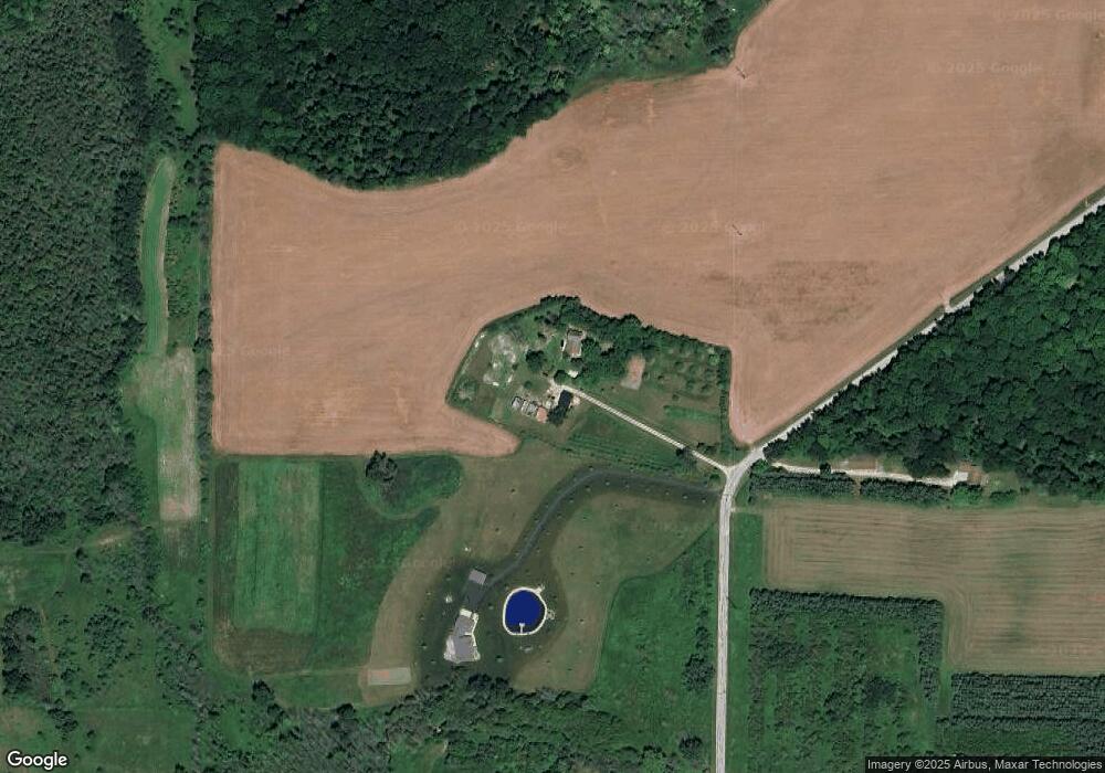
Map
Nearby Homes
- E5934 Wisconsin 54
- 1724 Jefferson St
- 35 Villa Heights Ct
- N6038 County Road D
- 1021 Navarino St
- 0 Navarino St
- N5978 W Alaska Lake Rd
- 600 Navarino St
- 210 Clark St
- 0 County Rd S Unit 50320886
- 0 County Rd S Unit 50317723
- 0 Hwy 42 Unit 141253
- 300 Steele St
- 300 4th St
- N8188 County Road M
- 0 Alpine Rd
- 285 W Greenfield Ave
- 0 Carrie Lynn Ave
- Lt3 Carrie Lynn Ave
- 424 Carrie Lynn Ave
- 6967 Longfellow Rd
- N6963 Longfellow Rd
- N6972 Longfellow Rd
- E5668 10th Rd
- E5654 10th Rd
- E5680 12th Rd
- E5690 12th Rd
- 5690 12th Rd
- 5680 12th Rd
- N6889 Longfellow Rd
- E5697 12th Rd
- E5659 10th Rd
- N6879 Longfellow Rd
- E5698 12th Rd
- 0 12th Rd Unit 50140514
- 0 12th Rd Unit 97633
- 0 12th Rd Unit 102771
- 0 12th Rd Unit 102772
- 0 12th Rd Unit 101603
- 0 12th Rd Unit 50274351
Your Personal Tour Guide
Ask me questions while you tour the home.