N6990 Basswood Rd Shawano, WI 54166
Estimated Value: $239,000 - $391,700
--
Bed
--
Bath
--
Sq Ft
40
Acres
About This Home
This home is located at N6990 Basswood Rd, Shawano, WI 54166 and is currently estimated at $297,567. N6990 Basswood Rd is a home located in Shawano County with nearby schools including Hillcrest Primary School, Brener Elementary School, and Shawano Community Middle School.
Ownership History
Date
Name
Owned For
Owner Type
Purchase Details
Closed on
Jun 26, 2024
Sold by
Engel Justin
Bought by
Thorpe Steven Anthony and Thorpe Andrea Lynn
Current Estimated Value
Purchase Details
Closed on
Feb 3, 2021
Sold by
Estate Of Wayne R Engel
Bought by
Engel Justin
Home Financials for this Owner
Home Financials are based on the most recent Mortgage that was taken out on this home.
Interest Rate
2.73%
Create a Home Valuation Report for This Property
The Home Valuation Report is an in-depth analysis detailing your home's value as well as a comparison with similar homes in the area
Home Values in the Area
Average Home Value in this Area
Purchase History
| Date | Buyer | Sale Price | Title Company |
|---|---|---|---|
| Thorpe Steven Anthony | $150,000 | Bay Title & Abstract, Inc. | |
| Engel Justin | $214,100 | Bay Title & Abstract, Inc. | |
| Engel Justin | $191,800 | -- |
Source: Public Records
Mortgage History
| Date | Status | Borrower | Loan Amount |
|---|---|---|---|
| Previous Owner | Engel Justin | -- |
Source: Public Records
Tax History Compared to Growth
Tax History
| Year | Tax Paid | Tax Assessment Tax Assessment Total Assessment is a certain percentage of the fair market value that is determined by local assessors to be the total taxable value of land and additions on the property. | Land | Improvement |
|---|---|---|---|---|
| 2024 | $2,155 | $172,800 | $77,500 | $95,300 |
| 2023 | $2,049 | $172,900 | $77,600 | $95,300 |
| 2022 | $1,716 | $98,000 | $55,000 | $43,000 |
| 2021 | $2,563 | $134,600 | $55,100 | $79,500 |
| 2020 | $2,487 | $134,700 | $55,200 | $79,500 |
| 2019 | $2,376 | $98,100 | $18,600 | $79,500 |
| 2018 | $2,271 | $98,100 | $18,600 | $79,500 |
| 2017 | $2,315 | $98,100 | $18,600 | $79,500 |
| 2016 | $2,273 | $98,100 | $18,600 | $79,500 |
| 2015 | $2,127 | $133,600 | $54,100 | $79,500 |
Source: Public Records
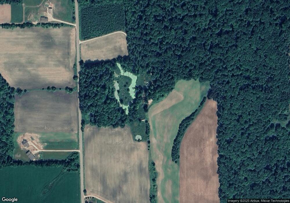
Map
Nearby Homes
- N7119 River Dr
- N6487 St 47 55 Hwy
- N606 Hwy 47 55
- N5938 Wolf River Rd
- W7910 Koeller Ln
- W6835 Curt Black Rd
- W6763 Curt Black Rd
- 672 Wolf River Ave
- 626 W 1st St
- 531 N Main St
- 519 N Main St
- 414 N Lafayette St
- 189 River Pine Dr
- 0 Buss Ct
- W2330 Otter Ponds Ct
- 250 Alpine Dr
- 280 Alpine Dr
- W2162 Otter Ponds Rd
- W2212 Otter Ponds Rd
- W7618 Poplar Rd
- N6862 Basswood Rd
- N7005 Basswood Rd
- N6787 Basswood Rd
- N6787 Basswood Rd
- N6945 Ash Rd
- N6901 Ash Rd
- N7049 Ash Rd
- W7889 Forest Haven Rd
- W8304 Basswood Rd
- W8044 Broadway Rd
- N6914 Ash Rd
- N6714 Balsam Rd
- N6693 Balsam Rd
- N6816 Ash Rd
- N6696 Balsam Rd
- W7845 Forest Haven Rd
- N6680 Balsam Rd
- N7118 Ash Rd
- W8398 Broadway Rd
- N6934 Sunset Ave