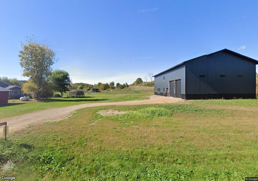
N7043 520th St Menomonie, WI 54751
Estimated Value: $144,867 - $656,000
--
Bed
--
Bath
--
Sq Ft
1.26
Acres
About This Home
This home is located at N7043 520th St, Menomonie, WI 54751 and is currently estimated at $335,467. N7043 520th St is a home with nearby schools including Wakanda Elementary School, Menomonie Middle School, and Menomonie High School.
Ownership History
Date
Name
Owned For
Owner Type
Purchase Details
Closed on
Aug 13, 2024
Sold by
Wallace David Michael
Bought by
Wallace David Michael
Current Estimated Value
Purchase Details
Closed on
Apr 22, 2022
Sold by
Dominick Douglas P
Bought by
Michael Wallace David
Purchase Details
Closed on
Dec 30, 2020
Sold by
Thompson Mark C
Bought by
Dominick Douglas P
Home Financials for this Owner
Home Financials are based on the most recent Mortgage that was taken out on this home.
Interest Rate
2.67%
Create a Home Valuation Report for This Property
The Home Valuation Report is an in-depth analysis detailing your home's value as well as a comparison with similar homes in the area
Home Values in the Area
Average Home Value in this Area
Purchase History
| Date | Buyer | Sale Price | Title Company |
|---|---|---|---|
| Wallace David Michael | $96,333 | Dunn Co. Title Services, Inc. | |
| Michael Wallace David | $32,000 | Dunn Co. Title Services, Inc. | |
| Dominick Douglas P | $20,000 | -- | |
| Dominick Douglas P | $20,000 | -- |
Source: Public Records
Mortgage History
| Date | Status | Borrower | Loan Amount |
|---|---|---|---|
| Previous Owner | Dominick Douglas P | -- |
Source: Public Records
Tax History Compared to Growth
Tax History
| Year | Tax Paid | Tax Assessment Tax Assessment Total Assessment is a certain percentage of the fair market value that is determined by local assessors to be the total taxable value of land and additions on the property. | Land | Improvement |
|---|---|---|---|---|
| 2024 | $1,004 | $55,500 | $20,000 | $35,500 |
| 2023 | $354 | $20,000 | $20,000 | $0 |
| 2022 | $345 | $20,000 | $20,000 | $0 |
| 2021 | $378 | $20,000 | $20,000 | $0 |
| 2020 | $396 | $20,000 | $20,000 | $0 |
| 2019 | $368 | $20,000 | $20,000 | $0 |
| 2018 | $340 | $20,000 | $20,000 | $0 |
| 2017 | $354 | $20,000 | $20,000 | $0 |
| 2016 | $353 | $20,000 | $20,000 | $0 |
| 2015 | $366 | $20,000 | $20,000 | $0 |
| 2014 | $362 | $20,000 | $20,000 | $0 |
| 2013 | $396 | $20,000 | $20,000 | $0 |
Source: Public Records
Map
Nearby Homes
- N7273 529th St
- N6929 549th St
- N6927 549th St
- LOT 36 549th St
- Lot 34, 35 & 36 549th St
- Lots 34, 35 & 36 549th St
- E5342 732nd Ave
- E5558 County Road Bb
- N 7348 N 7350 540th St Unit 1 & 2
- N7018 564th St Unit 1
- N7018 / N7020 564th St
- E4916 760th Ave
- N7602 540th St
- 903 28th Ave N
- N7756 510th St
- N7711 County Road F
- N7843 540th St
- 1904 Pine Ave E
- 6094 650th Ave
- E5638 797th Ave
- XX Fairview Ct
- N7035 520th St
- N7048 520th St
- N7015 520th St
- N7077 520th St
- N7034 520th St
- N7078 520th St. 520th St
- N7078 520th St
- n 7078 520th St
- E5149 County Road Bb
- E5261 County Road Bb
- L 3 CMP 20 520th St
- Lot 3 CMP 520th St
- Lot 4 710th Ave
- L 3 CMP 2010 520th St
- E5230 710th Ave
- Lot 3 525th St
- E5146 County Road Bb
- Lot 19 513th St
- Lot 4 525th St