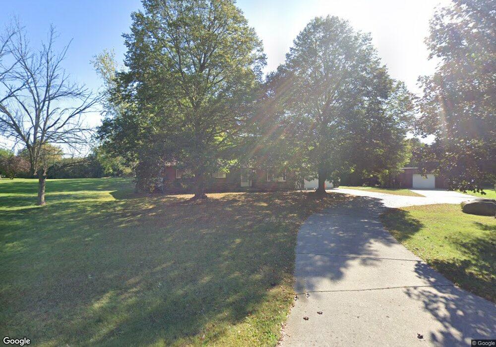
N720 Old 26 Rd Fort Atkinson, WI 53538
Estimated Value: $278,377 - $503,000
--
Bed
--
Bath
--
Sq Ft
0.72
Acres
About This Home
This home is located at N720 Old 26 Rd, Fort Atkinson, WI 53538 and is currently estimated at $380,094. N720 Old 26 Rd is a home located in Jefferson County with nearby schools including Luther Elementary School, Fort Atkinson Middle School, and Fort Atkinson High School.
Ownership History
Date
Name
Owned For
Owner Type
Purchase Details
Closed on
Dec 6, 2018
Sold by
Thomas Ronald A
Bought by
Thomas Living Trust
Current Estimated Value
Purchase Details
Closed on
Dec 29, 2005
Sold by
Thomas Susan R
Bought by
Thomas Ronald A
Home Financials for this Owner
Home Financials are based on the most recent Mortgage that was taken out on this home.
Original Mortgage
$140,000
Interest Rate
6.46%
Mortgage Type
New Conventional
Create a Home Valuation Report for This Property
The Home Valuation Report is an in-depth analysis detailing your home's value as well as a comparison with similar homes in the area
Home Values in the Area
Average Home Value in this Area
Purchase History
| Date | Buyer | Sale Price | Title Company |
|---|---|---|---|
| Thomas Living Trust | -- | None Available | |
| Thomas Ronald A | -- | None Available |
Source: Public Records
Mortgage History
| Date | Status | Borrower | Loan Amount |
|---|---|---|---|
| Previous Owner | Thomas Ronald A | $140,000 |
Source: Public Records
Tax History Compared to Growth
Tax History
| Year | Tax Paid | Tax Assessment Tax Assessment Total Assessment is a certain percentage of the fair market value that is determined by local assessors to be the total taxable value of land and additions on the property. | Land | Improvement |
|---|---|---|---|---|
| 2024 | $3,294 | $178,900 | $26,900 | $152,000 |
| 2023 | $3,332 | $178,900 | $26,900 | $152,000 |
| 2022 | $3,131 | $178,900 | $26,900 | $152,000 |
| 2021 | $2,915 | $178,900 | $26,900 | $152,000 |
| 2020 | $2,606 | $178,900 | $26,900 | $152,000 |
| 2019 | $2,657 | $146,300 | $31,700 | $114,600 |
| 2018 | $2,473 | $146,300 | $31,700 | $114,600 |
| 2017 | $2,451 | $146,300 | $31,700 | $114,600 |
| 2016 | $2,539 | $146,300 | $31,700 | $114,600 |
| 2015 | $2,611 | $146,300 | $31,700 | $114,600 |
| 2014 | $2,539 | $146,300 | $31,700 | $114,600 |
| 2013 | $2,622 | $146,300 | $31,700 | $114,600 |
Source: Public Records
Map
Nearby Homes
- N835 Eagle Ridge Dr
- N867 Eagle Ridge Dr
- N862 Eagle Ridge Dr
- N856 Eagle Ridge Dr
- N884 Eagle Ridge Dr
- N874 Eagle Ridge Dr
- N888 Eagle Ridge Dr
- N878 Eagle Ridge Dr
- N875 Eagle Ridge Dr
- N557 Cowpath Ln
- N799 Waubunsee Trail Unit 1
- Lot #9 Commerce Pkwy
- Lot #7 Commerce Pkwy
- Lot #1 Commerce Pkwy
- Lot #10 Commerce Pkwy
- Lot #6 Commerce Pkwy
- W6368 Briar Ln
- W7742 Lamp Rd
- N1657 Carlin Rd
- N1609 Pleasant Rd
- N734 Twin Knolls Dr
- 0 Old 26
- Option 3 Old 26
- Option 5 Old 26
- Option 1 Old 26
- Option 2 Old 26
- Option 4 Old 26
- N731 Old 26
- W7310 Koshkonong Lake Rd
- 763 Twin Knolls Dr
- N763 Twin Knolls Dr
- n 763 Twin Knolls Dr
- N764 Twin Knolls Dr
- N771 Twin Knolls Dr
- N739 Old 26 Rd
- W7348 Koshkonong Lake Rd
- N779 Twin Knolls Dr
- N780 Twin Knolls Dr
- 0 Twin Knolls Dr
- W7350 Koshkonong Lake Rd