N725 Sumac Ln Birnamwood, WI 54414
Estimated Value: $426,000 - $437,430
--
Bed
--
Bath
--
Sq Ft
4.55
Acres
About This Home
This home is located at N725 Sumac Ln, Birnamwood, WI 54414 and is currently estimated at $431,715. N725 Sumac Ln is a home located in Marathon County with nearby schools including Wittenberg-Birnamwood High School.
Ownership History
Date
Name
Owned For
Owner Type
Purchase Details
Closed on
Jul 22, 2010
Sold by
Resch Shane L and Resch Cortney J
Bought by
Resch Shane L and Resch Cortney J
Current Estimated Value
Purchase Details
Closed on
Nov 2, 2007
Sold by
Muscha Kolby and Muscha Cheryl E
Bought by
Resch Shane L and Resch Cortney J
Home Financials for this Owner
Home Financials are based on the most recent Mortgage that was taken out on this home.
Original Mortgage
$252,000
Outstanding Balance
$159,031
Interest Rate
6.33%
Mortgage Type
Unknown
Estimated Equity
$272,684
Create a Home Valuation Report for This Property
The Home Valuation Report is an in-depth analysis detailing your home's value as well as a comparison with similar homes in the area
Home Values in the Area
Average Home Value in this Area
Purchase History
| Date | Buyer | Sale Price | Title Company |
|---|---|---|---|
| Resch Shane L | -- | None Available | |
| Resch Shane L | $315,000 | Gts |
Source: Public Records
Mortgage History
| Date | Status | Borrower | Loan Amount |
|---|---|---|---|
| Open | Resch Shane L | $252,000 |
Source: Public Records
Tax History Compared to Growth
Tax History
| Year | Tax Paid | Tax Assessment Tax Assessment Total Assessment is a certain percentage of the fair market value that is determined by local assessors to be the total taxable value of land and additions on the property. | Land | Improvement |
|---|---|---|---|---|
| 2024 | $4,874 | $425,000 | $33,200 | $391,800 |
| 2023 | $4,986 | $243,400 | $18,900 | $224,500 |
| 2022 | $4,350 | $243,400 | $18,900 | $224,500 |
| 2021 | $3,953 | $243,400 | $18,900 | $224,500 |
| 2020 | $4,012 | $243,400 | $18,900 | $224,500 |
| 2019 | $3,862 | $243,400 | $18,900 | $224,500 |
| 2018 | $3,515 | $243,400 | $18,900 | $224,500 |
| 2017 | $3,639 | $243,400 | $18,900 | $224,500 |
| 2016 | $3,707 | $243,400 | $18,900 | $224,500 |
| 2015 | $3,517 | $243,400 | $18,900 | $224,500 |
| 2014 | $3,449 | $243,400 | $18,900 | $224,500 |
Source: Public Records
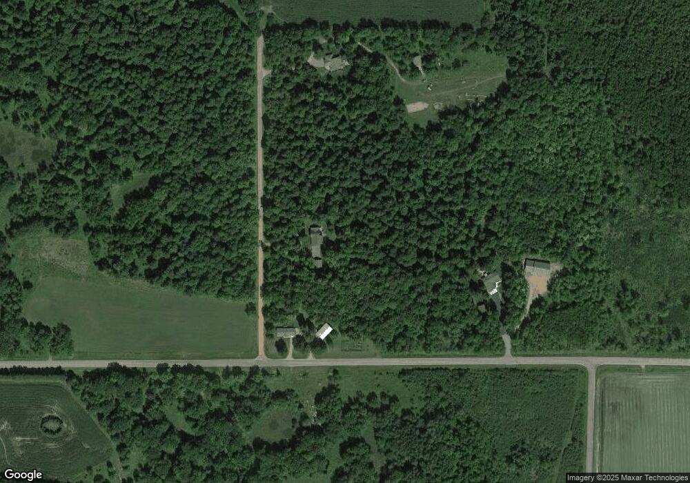
Map
Nearby Homes
- Ooo County Road D
- 0 Birnamwood Rd
- 225600 County Road Y
- 02 Matthew Dr
- 01 Matthew Dr
- 182480 State Highway 29
- 468 Sarah St
- 02 State Highway 45
- 612 High St
- 190 County Rd N
- 175545 Willow Ln
- W18610 U S 45
- 221630 Duncan Rd
- 39.76 Acres County Road z
- 344.19 acres Townline Rd
- Lot 10 State Highway 45
- Lot 11 State Highway 45
- 214108 Elder Hemlock Rd
- 215530 N Shore Dr
- 412 N Hunter St
- n 747 Sumac Ln
- 224547 Kolby Ln
- 224521 Kolby Ln
- 182330 County Road Dd
- 182048 County Road Dd
- N4459 County Road Dd
- 182590 County Road Dd
- 181688 County Road Dd
- 181250 Cihaski Rd
- 181687 County Road Dd
- 181072 Cihaski Rd
- 183120 County Road Dd
- 182845 Norrie Rd
- 180950 Cihaski Rd
- 183206 County Road Dd
- 181325 County Road Dd
- N4480 County Road Dd
- 183300 County Road Dd
- 183300 County Road Dd
- 181201 County Road Dd