N72W38422 Lang Rd Oconomowoc, WI 53066
Estimated Value: $503,000 - $547,000
--
Bed
--
Bath
--
Sq Ft
2.75
Acres
About This Home
This home is located at N72W38422 Lang Rd, Oconomowoc, WI 53066 and is currently estimated at $522,041. N72W38422 Lang Rd is a home located in Waukesha County with nearby schools including Meadow View Elementary School, Nature Hill Intermediate School, and Oconomowoc High School.
Ownership History
Date
Name
Owned For
Owner Type
Purchase Details
Closed on
Jul 20, 2015
Sold by
Bauer Benno and Bauer Stephanie
Bought by
Moua Pao and Moua Va
Current Estimated Value
Home Financials for this Owner
Home Financials are based on the most recent Mortgage that was taken out on this home.
Original Mortgage
$223,100
Outstanding Balance
$175,287
Interest Rate
4.08%
Mortgage Type
New Conventional
Estimated Equity
$346,754
Purchase Details
Closed on
Dec 24, 2008
Sold by
Hsbc Bank Usa National Association
Bought by
Bauer Benno and Bauer Stephanie
Home Financials for this Owner
Home Financials are based on the most recent Mortgage that was taken out on this home.
Original Mortgage
$182,590
Interest Rate
5.44%
Mortgage Type
FHA
Purchase Details
Closed on
Oct 13, 2008
Sold by
Richardson Gail M
Bought by
Hsbc Bank Usa National Association
Create a Home Valuation Report for This Property
The Home Valuation Report is an in-depth analysis detailing your home's value as well as a comparison with similar homes in the area
Home Values in the Area
Average Home Value in this Area
Purchase History
| Date | Buyer | Sale Price | Title Company |
|---|---|---|---|
| Moua Pao | $234,900 | None Available | |
| Bauer Benno | $185,000 | Capital Title & Closing | |
| Hsbc Bank Usa National Association | -- | None Available |
Source: Public Records
Mortgage History
| Date | Status | Borrower | Loan Amount |
|---|---|---|---|
| Open | Moua Pao | $223,100 | |
| Previous Owner | Bauer Benno | $182,590 |
Source: Public Records
Tax History Compared to Growth
Tax History
| Year | Tax Paid | Tax Assessment Tax Assessment Total Assessment is a certain percentage of the fair market value that is determined by local assessors to be the total taxable value of land and additions on the property. | Land | Improvement |
|---|---|---|---|---|
| 2024 | $3,985 | $332,400 | $98,100 | $234,300 |
| 2023 | $3,708 | $332,400 | $98,100 | $234,300 |
| 2022 | $4,053 | $332,400 | $98,100 | $234,300 |
| 2021 | $3,817 | $285,600 | $81,000 | $204,600 |
| 2020 | $3,835 | $285,600 | $81,000 | $204,600 |
| 2019 | $3,758 | $285,600 | $81,000 | $204,600 |
| 2018 | $3,629 | $260,600 | $73,500 | $187,100 |
| 2017 | $3,618 | $260,600 | $73,500 | $187,100 |
| 2016 | $3,476 | $237,100 | $68,500 | $168,600 |
| 2015 | $3,588 | $237,100 | $68,500 | $168,600 |
| 2014 | $3,569 | $237,100 | $68,500 | $168,600 |
| 2013 | $3,569 | $230,000 | $68,500 | $161,500 |
Source: Public Records
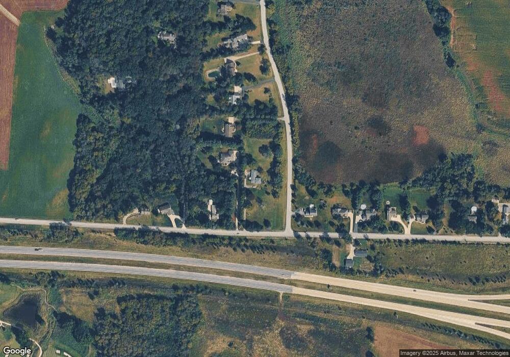
Map
Nearby Homes
- N65W38184 Woodlake Dr
- N65W38200 Woodlake Dr
- N65W38164 Woodlake Dr
- N65W38144 Woodlake Dr
- N65W38124 Woodlake Dr
- N65W38102 Woodlake Dr
- N65W38183 Woodlake Dr
- N65W38241 Woodlake Dr
- N65W38281 Woodlake Dr
- N65W38259 Woodlake Dr
- W364N7020 Mcmahon Rd
- N65W38151 Woodlake Dr
- N65W38131 Woodlake Dr
- N65W38111 Woodlake Dr
- N65W38024 Woodlake Dr
- N65W38089 Woodlake Dr
- N65W38069 Woodlake Dr
- N65W38047 Woodlake Dr
- N65W38025 Woodlake Dr
- W381N8381 Rolling River Ct
- N72W38450 Lang Rd
- N72W38474 Lang Rd
- W384N7299 Cottonwood Ct
- W383N7200 Cottonwood Ct
- W384N7323 Cottonwood Ct
- N72W38344 Lang Rd
- N72W38504 Lang Rd
- N72W38500 Lang Rd
- W384N7343 Cottonwood Ct
- N72W38322 Lang Rd
- N71W38341 Lang Rd
- W384N7363 Cottonwood Ct
- N72W38288 Lang Rd
- N72W38508 Lang Rd
- N72W38508 Lang Rd
- N72W38506 Lang Rd
- W384N7383 Cottonwood Ct
- N72W38266 Lang Rd
- W384N7409 Cottonwood Ct
- W384N7401 Cottonwood Ct