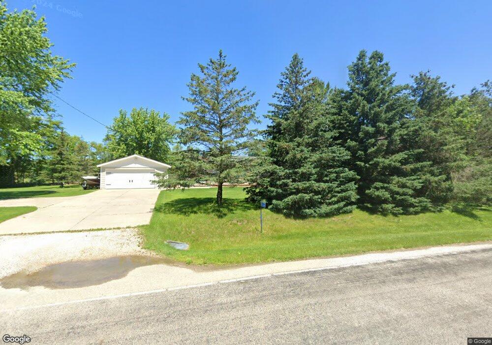
N72W39890 Lang Rd Oconomowoc, WI 53066
Estimated Value: $391,940 - $455,000
--
Bed
--
Bath
--
Sq Ft
0.71
Acres
About This Home
This home is located at N72W39890 Lang Rd, Oconomowoc, WI 53066 and is currently estimated at $418,235. N72W39890 Lang Rd is a home located in Waukesha County with nearby schools including Ixonia Elementary School, Nature Hill Intermediate School, and Oconomowoc High School.
Ownership History
Date
Name
Owned For
Owner Type
Purchase Details
Closed on
Dec 31, 2019
Sold by
Kasten Jerod L and Kasten Tricia M
Bought by
Cummings Jason and Cummings Jenna
Current Estimated Value
Home Financials for this Owner
Home Financials are based on the most recent Mortgage that was taken out on this home.
Original Mortgage
$240,350
Outstanding Balance
$212,359
Interest Rate
3.6%
Mortgage Type
New Conventional
Estimated Equity
$205,876
Create a Home Valuation Report for This Property
The Home Valuation Report is an in-depth analysis detailing your home's value as well as a comparison with similar homes in the area
Home Values in the Area
Average Home Value in this Area
Purchase History
| Date | Buyer | Sale Price | Title Company |
|---|---|---|---|
| Cummings Jason | $253,000 | None Available |
Source: Public Records
Mortgage History
| Date | Status | Borrower | Loan Amount |
|---|---|---|---|
| Open | Cummings Jason | $240,350 |
Source: Public Records
Tax History Compared to Growth
Tax History
| Year | Tax Paid | Tax Assessment Tax Assessment Total Assessment is a certain percentage of the fair market value that is determined by local assessors to be the total taxable value of land and additions on the property. | Land | Improvement |
|---|---|---|---|---|
| 2024 | $3,163 | $275,000 | $45,900 | $229,100 |
| 2023 | $2,910 | $275,000 | $45,900 | $229,100 |
| 2022 | $3,164 | $275,000 | $45,900 | $229,100 |
| 2021 | $2,972 | $237,200 | $38,000 | $199,200 |
| 2020 | $3,058 | $237,200 | $38,000 | $199,200 |
| 2019 | $2,471 | $198,000 | $38,000 | $160,000 |
| 2018 | $2,404 | $180,700 | $34,600 | $146,100 |
| 2017 | $2,741 | $180,700 | $34,600 | $146,100 |
| 2016 | $2,300 | $162,300 | $32,200 | $130,100 |
| 2015 | $2,398 | $162,300 | $32,200 | $130,100 |
| 2014 | $2,343 | $162,300 | $32,200 | $130,100 |
| 2013 | $2,343 | $159,700 | $32,200 | $127,500 |
Source: Public Records
Map
Nearby Homes
- W277 Madison Ave
- W179 Madison Ave
- N65W38281 Woodlake Dr
- N65W38259 Woodlake Dr
- N65W38200 Woodlake Dr
- W257 Thompson Cir
- N65W38241 Woodlake Dr
- N65W38184 Woodlake Dr
- N65W38183 Woodlake Dr
- N65W38164 Woodlake Dr
- N65W38144 Woodlake Dr
- N65W38151 Woodlake Dr
- N65W38124 Woodlake Dr
- N65W38131 Woodlake Dr
- N65W38102 Woodlake Dr
- N65W38111 Woodlake Dr
- N65W38089 Woodlake Dr
- N7735 Maple Ridge Rd Unit N7737
- N65W38069 Woodlake Dr
- W398N8740 Amber Ln
- N72W39780 Lang Rd
- N71W39863 Lang Rd
- N71W39895 Lang Rd
- N71W39849 Lang Rd
- N72W39766 Lang Rd
- N71W39919 Lang Rd
- N71W39801 Lang Rd
- N72W39748 Lang Rd
- N72W39724 Lang Rd
- N71W39777 Lang Rd
- N72W39700 Lang Rd
- N71W39757 Lang Rd
- N72W39650 Lang Rd
- N72W39600 Lang Rd
- N71W39633 Lang Rd
- N72W39550 Lang Rd
- W135 Lang Rd
- N71W39527 Lang Rd
- N72W39500 Lang Rd
- W159 Lang Rd