N737 Mulligan Way Fort Atkinson, WI 53538
Estimated Value: $583,278 - $784,000
--
Bed
--
Bath
--
Sq Ft
1.15
Acres
About This Home
This home is located at N737 Mulligan Way, Fort Atkinson, WI 53538 and is currently estimated at $685,570. N737 Mulligan Way is a home with nearby schools including Luther Elementary School, Fort Atkinson Middle School, and Fort Atkinson High School.
Ownership History
Date
Name
Owned For
Owner Type
Purchase Details
Closed on
Jun 26, 2024
Sold by
Patterson Thomas W
Bought by
Smessaert Joe and Smessaert Amber
Current Estimated Value
Home Financials for this Owner
Home Financials are based on the most recent Mortgage that was taken out on this home.
Original Mortgage
$309,000
Outstanding Balance
$305,274
Interest Rate
6.94%
Mortgage Type
New Conventional
Estimated Equity
$380,296
Create a Home Valuation Report for This Property
The Home Valuation Report is an in-depth analysis detailing your home's value as well as a comparison with similar homes in the area
Home Values in the Area
Average Home Value in this Area
Purchase History
| Date | Buyer | Sale Price | Title Company |
|---|---|---|---|
| Smessaert Joe | $580,000 | None Listed On Document |
Source: Public Records
Mortgage History
| Date | Status | Borrower | Loan Amount |
|---|---|---|---|
| Open | Smessaert Joe | $309,000 |
Source: Public Records
Tax History Compared to Growth
Tax History
| Year | Tax Paid | Tax Assessment Tax Assessment Total Assessment is a certain percentage of the fair market value that is determined by local assessors to be the total taxable value of land and additions on the property. | Land | Improvement |
|---|---|---|---|---|
| 2024 | $6,989 | $376,200 | $53,100 | $323,100 |
| 2023 | $7,074 | $376,200 | $53,100 | $323,100 |
| 2022 | $7,012 | $376,200 | $53,100 | $323,100 |
| 2021 | $6,538 | $376,200 | $53,100 | $323,100 |
| 2020 | $5,779 | $376,200 | $53,100 | $323,100 |
| 2019 | $5,911 | $314,500 | $41,900 | $272,600 |
| 2018 | $5,476 | $314,500 | $41,900 | $272,600 |
| 2017 | $5,328 | $314,500 | $41,900 | $272,600 |
| 2016 | $5,521 | $314,500 | $41,900 | $272,600 |
| 2015 | $5,516 | $314,500 | $41,900 | $272,600 |
| 2014 | $3,133 | $181,600 | $41,900 | $139,700 |
Source: Public Records
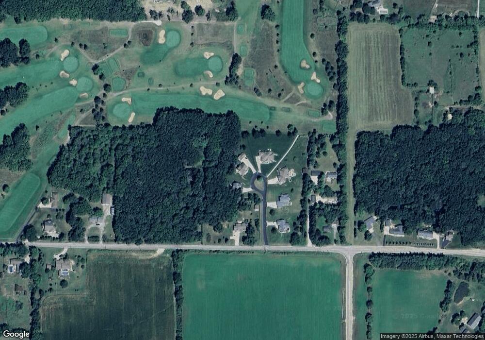
Map
Nearby Homes
- N835 Eagle Ridge Dr
- N862 Eagle Ridge Dr
- N867 Eagle Ridge Dr
- N856 Eagle Ridge Dr
- N884 Eagle Ridge Dr
- N888 Eagle Ridge Dr
- N874 Eagle Ridge Dr
- N878 Eagle Ridge Dr
- N875 Eagle Ridge Dr
- N557 Cowpath Ln
- N799 Waubunsee Trail Unit 1
- Lot #9 Commerce Pkwy
- Lot #1 Commerce Pkwy
- Lot #7 Commerce Pkwy
- Lot #10 Commerce Pkwy
- Lot #6 Commerce Pkwy
- W7742 Lamp Rd
- W6368 Briar Ln
- N1657 Carlin Rd
- N1609 Pleasant Rd
- N731 Mulligan Way
- N739 Mulligan Way
- W7464 Koshkonong Lake Rd
- N734 Mulligan Way
- W7450 Koshkonong Lake Rd
- N722 Mulligan Way
- W7410 Koshkonong Lake Rd
- W7406 Koshkonong Lake Rd
- W7510 Koshkonong Lake Rd
- 7382 Koshkonong Lake Rd
- W7382 Koshkonong Lake Rd
- W7378 Koshkonong Lake Rd
- 7378 Koshkonong Lake Rd
- N819 Fairway Dr
- W7544 Koshkonong Lake Rd
- W7540 Koshkonong Lake Rd
- W7527 Koshkonong Lake Rd
- N826 Eagle Ridge Drive Dr
- N829 Fairway Dr
- W7350 Koshkonong Lake Rd