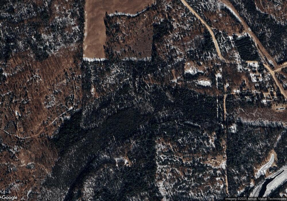
N7611 S 4 Rd Stephenson, MI 49887
Estimated Value: $143,000 - $175,000
1
Bed
1
Bath
896
Sq Ft
$177/Sq Ft
Est. Value
About This Home
This home is located at N7611 S 4 Rd, Stephenson, MI 49887 and is currently estimated at $159,000, approximately $177 per square foot. N7611 S 4 Rd is a home with nearby schools including Stephenson Area Public School, Stephenson High School, and Stephenson Middle School.
Ownership History
Date
Name
Owned For
Owner Type
Purchase Details
Closed on
Mar 13, 2009
Sold by
Pacura Thomas A
Bought by
Pacura Thomas A
Current Estimated Value
Purchase Details
Closed on
Feb 13, 2009
Sold by
Pacura Thomas and Batchelor Thomas
Bought by
Pacura Thomas A
Purchase Details
Closed on
Dec 29, 2008
Sold by
Pacura Thomas and Batchelor Thomas
Bought by
Pacura Thomas and Batchelor Thomas
Purchase Details
Closed on
Dec 8, 2008
Sold by
Miller Arthur W
Bought by
Miller Arthur W and Keen Loretta A
Purchase Details
Closed on
Sep 18, 2003
Sold by
Pacura Thomas
Bought by
Pacura Thomas
Create a Home Valuation Report for This Property
The Home Valuation Report is an in-depth analysis detailing your home's value as well as a comparison with similar homes in the area
Home Values in the Area
Average Home Value in this Area
Purchase History
| Date | Buyer | Sale Price | Title Company |
|---|---|---|---|
| Pacura Thomas A | -- | -- | |
| Pacura Thomas A | -- | -- | |
| Pacura Thomas | -- | -- | |
| Miller Arthur W | -- | -- | |
| Pacura Thomas | -- | -- |
Source: Public Records
Tax History Compared to Growth
Tax History
| Year | Tax Paid | Tax Assessment Tax Assessment Total Assessment is a certain percentage of the fair market value that is determined by local assessors to be the total taxable value of land and additions on the property. | Land | Improvement |
|---|---|---|---|---|
| 2025 | $2,739 | $90,700 | $51,900 | $38,800 |
| 2024 | $2,460 | $81,100 | $47,700 | $33,400 |
| 2023 | $499 | $68,400 | $68,400 | $0 |
| 2022 | $499 | $68,400 | $68,400 | $0 |
| 2021 | $499 | $58,900 | $58,900 | $0 |
| 2020 | $499 | $59,100 | $0 | $0 |
| 2019 | -- | $56,200 | $0 | $0 |
| 2018 | -- | $56,100 | $56,100 | $0 |
| 2017 | -- | $57,100 | $57,100 | $0 |
| 2016 | -- | $55,600 | $0 | $0 |
| 2015 | -- | $55,600 | $0 | $0 |
| 2014 | -- | $56,800 | $56,800 | $0 |
| 2013 | $499 | $56,500 | $0 | $0 |
Source: Public Records
Map
Nearby Homes
- N11831 Menominee Shores Dr
- 0 Menominee Shores Dr Unit 50313854
- 0 Menominee Shores Dr Unit 50309184
- Lt43 Menominee Woods Dr
- N11909 Menominee Woods Dr
- N11141 Rademaker Rd
- N11217 Rademaker Rd
- W8971 Church 19 25 Rd
- W2368 County Road Jj
- W2368 Cth Jj
- W3030 State Highway 180
- N6491 Hwy 577
- W6122 County Road 346
- N6403 County Road 577
- W9470 County Road G12
- W888 Robert St
- 0 Old Rail Rd
- W7478 County Road 358
- 402 South Dr
- W606 Robert St
