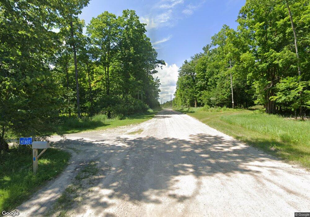
N7670 S 4 Rd Stephenson, MI 49887
Estimated Value: $151,000 - $259,000
3
Beds
1
Bath
1,140
Sq Ft
$176/Sq Ft
Est. Value
About This Home
This home is located at N7670 S 4 Rd, Stephenson, MI 49887 and is currently estimated at $201,000, approximately $176 per square foot. N7670 S 4 Rd is a home with nearby schools including Stephenson Area Public School, Stephenson High School, and Stephenson Middle School.
Ownership History
Date
Name
Owned For
Owner Type
Purchase Details
Closed on
Jun 13, 2019
Sold by
Glander Kasey M
Bought by
Stys Devin D
Current Estimated Value
Purchase Details
Closed on
May 14, 2015
Sold by
Ledger Lorna R
Bought by
Glander Kasey M and Kouski Kyle Lee
Purchase Details
Closed on
Oct 13, 2011
Sold by
Ledger Kenneth and Ledger Lorna
Bought by
Ledger Lorna R
Purchase Details
Closed on
Oct 6, 2011
Sold by
Ledger Lorna R
Bought by
Ledger William J and Kelbach Margaret
Purchase Details
Closed on
May 1, 1994
Sold by
Raitmaier Beverly
Bought by
Ledger Kenneth L and Ledger Lorna R
Create a Home Valuation Report for This Property
The Home Valuation Report is an in-depth analysis detailing your home's value as well as a comparison with similar homes in the area
Home Values in the Area
Average Home Value in this Area
Purchase History
| Date | Buyer | Sale Price | Title Company |
|---|---|---|---|
| Stys Devin D | $86,000 | -- | |
| Glander Kasey M | $14,000 | -- | |
| Ledger Lorna R | -- | -- | |
| Ledger William J | $54,700 | -- | |
| Ledger Kenneth L | $17,000 | -- |
Source: Public Records
Tax History Compared to Growth
Tax History
| Year | Tax Paid | Tax Assessment Tax Assessment Total Assessment is a certain percentage of the fair market value that is determined by local assessors to be the total taxable value of land and additions on the property. | Land | Improvement |
|---|---|---|---|---|
| 2025 | $951 | $64,600 | $4,300 | $60,300 |
| 2024 | $816 | $56,000 | $4,100 | $51,900 |
| 2023 | $265 | $44,000 | $2,400 | $41,600 |
| 2022 | $265 | $44,000 | $2,400 | $41,600 |
| 2021 | $265 | $25,000 | $25,000 | $0 |
| 2020 | $265 | $25,400 | $0 | $0 |
| 2019 | -- | $25,700 | $0 | $0 |
| 2018 | -- | $25,800 | $25,800 | $0 |
| 2017 | -- | $26,600 | $26,600 | $0 |
| 2016 | -- | $25,200 | $0 | $0 |
| 2015 | -- | $25,200 | $0 | $0 |
| 2014 | -- | $26,800 | $26,800 | $0 |
| 2013 | $265 | $26,500 | $0 | $0 |
Source: Public Records
Map
Nearby Homes
- N11831 Menominee Shores Dr
- Lt43 Menominee Woods Dr
- N11909 Menominee Woods Dr
- 0 Menominee Shores Dr Unit 50313854
- 0 Menominee Shores Dr Unit 50309184
- N11141 Rademaker Rd
- N11217 Rademaker Rd
- W8971 Church 19 25 Rd
- N6491 Hwy 577
- W2368 County Road Jj
- W2368 Cth Jj
- W6122 County Road 346
- W3030 State Highway 180
- N6403 County Road 577
- W888 Robert St
- 402 South Dr
- W606 Robert St
- W5681 County Road G 12
- W7478 County Road 358
- 0 Bruette Rd Unit 50314133
