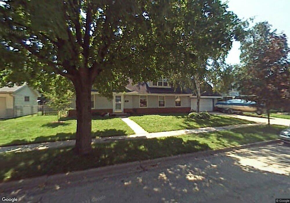
N77W7063 Oak St Cedarburg, WI 53012
Estimated Value: $489,000 - $526,919
--
Bed
--
Bath
--
Sq Ft
0.26
Acres
About This Home
This home is located at N77W7063 Oak St, Cedarburg, WI 53012 and is currently estimated at $510,480. N77W7063 Oak St is a home located in Ozaukee County with nearby schools including Cedarburg High School, First Immanuel Lutheran School, and Morningstar Montessori Inc.
Ownership History
Date
Name
Owned For
Owner Type
Purchase Details
Closed on
Nov 28, 2017
Sold by
Salvin James H and Salvin Coral C
Bought by
Boyle Patrick J and Boyle Michaelle C
Current Estimated Value
Home Financials for this Owner
Home Financials are based on the most recent Mortgage that was taken out on this home.
Original Mortgage
$224,000
Outstanding Balance
$188,588
Interest Rate
3.94%
Mortgage Type
New Conventional
Estimated Equity
$321,892
Create a Home Valuation Report for This Property
The Home Valuation Report is an in-depth analysis detailing your home's value as well as a comparison with similar homes in the area
Home Values in the Area
Average Home Value in this Area
Purchase History
| Date | Buyer | Sale Price | Title Company |
|---|---|---|---|
| Boyle Patrick J | -- | -- |
Source: Public Records
Mortgage History
| Date | Status | Borrower | Loan Amount |
|---|---|---|---|
| Open | Boyle Patrick J | $224,000 |
Source: Public Records
Tax History Compared to Growth
Tax History
| Year | Tax Paid | Tax Assessment Tax Assessment Total Assessment is a certain percentage of the fair market value that is determined by local assessors to be the total taxable value of land and additions on the property. | Land | Improvement |
|---|---|---|---|---|
| 2024 | $5,568 | $378,700 | $79,500 | $299,200 |
| 2023 | $5,143 | $378,700 | $79,500 | $299,200 |
| 2022 | $5,033 | $378,700 | $79,500 | $299,200 |
| 2021 | $4,738 | $270,900 | $72,200 | $198,700 |
| 2020 | $5,031 | $270,900 | $72,200 | $198,700 |
| 2019 | $4,940 | $270,900 | $72,200 | $198,700 |
| 2018 | $4,868 | $270,900 | $72,200 | $198,700 |
| 2017 | $4,807 | $270,900 | $72,200 | $198,700 |
| 2016 | $4,923 | $270,900 | $72,200 | $198,700 |
| 2015 | $4,791 | $270,900 | $72,200 | $198,700 |
| 2014 | $4,866 | $270,900 | $72,200 | $198,700 |
| 2013 | $5,101 | $270,900 | $72,200 | $198,700 |
Source: Public Records
Map
Nearby Homes
- W67N786 Evergreen Blvd
- Lt1 Bridge Rd
- N69W6507 Bridge Rd
- N77W7565 Chestnut St
- W68N921 Washington Ave
- N91W6149 Arbor Dr
- W73N1025 Poplar Ave
- N105W6695 Stone Lake Cir Unit 5
- N56W6339 Center St
- N106W6600 Stone Lake Cir Unit 9
- N106W6590 Stone Lake Cir Unit 10
- W72N1047 Hampton Ave
- N105W6431 Stone Lake Cir Unit 32
- N50W6592 Western Rd
- N50W7228 Western Rd
- N104W6262 Susan Ln
- W72N452 Greystone Dr
- N114W7191 Oakmont Dr
- 1111 Wauwatosa Rd
- N111W5920 Carolyn Ct
- N81W6995 Pine St
- N79W6954 Oak St
- N78W7008 Oak St
- N78W7032 Oak St
- N78W7064 Oak St
- N78W7114 Oak St
- N78W7152 Oak St
- N77W6973 Oak St
- N77W7031 Oak St
- N77W7089 Oak St
- N77W7113 Oak St
- N77W7151 Oak St
- N77W7181 Oak St
- N78W6915 Pine St
- N79W6939 Pine St
- N78W6953 Oak St
- N80W6955 Pine St
- N77W6895 Pine St
- N77W6910 Linden St
- N77W6879 Linden St