Estimated Value: $96,648 - $295,000
--
Bed
--
Bath
--
Sq Ft
2
Acres
About This Home
This home is located at N7899 Sparrow Ave, Loyal, WI 54446 and is currently estimated at $157,912. N7899 Sparrow Ave is a home located in Clark County with nearby schools including Loyal Elementary School, Loyal Middle School, and Loyal High School.
Ownership History
Date
Name
Owned For
Owner Type
Purchase Details
Closed on
Aug 15, 2025
Sold by
Swartzentruber Samuel E and Swartzentruber Anna D
Bought by
Zvolena Ross A
Current Estimated Value
Purchase Details
Closed on
Dec 1, 2022
Sold by
Dana L Froeba Revocable Trust
Bought by
Swartzentruber Samuel E and Swartzentruber Anna D
Home Financials for this Owner
Home Financials are based on the most recent Mortgage that was taken out on this home.
Original Mortgage
$40,000
Outstanding Balance
$31,600
Interest Rate
6.95%
Mortgage Type
New Conventional
Estimated Equity
$126,312
Purchase Details
Closed on
Mar 20, 2019
Sold by
Froeba Kevin and Froeba Dana
Bought by
Froeba Kevin A and Froeba Revocable Trust
Purchase Details
Closed on
May 16, 2014
Sold by
Gloria Gloria
Bought by
Froeba Kevin and Froeba Dana
Create a Home Valuation Report for This Property
The Home Valuation Report is an in-depth analysis detailing your home's value as well as a comparison with similar homes in the area
Home Values in the Area
Average Home Value in this Area
Purchase History
| Date | Buyer | Sale Price | Title Company |
|---|---|---|---|
| Zvolena Ross A | $115,000 | None Listed On Document | |
| Swartzentruber Samuel E | $50,000 | -- | |
| Froeba Kevin A | -- | None Available | |
| Froeba Kevin | $35,000 | -- |
Source: Public Records
Mortgage History
| Date | Status | Borrower | Loan Amount |
|---|---|---|---|
| Open | Swartzentruber Samuel E | $40,000 |
Source: Public Records
Tax History Compared to Growth
Tax History
| Year | Tax Paid | Tax Assessment Tax Assessment Total Assessment is a certain percentage of the fair market value that is determined by local assessors to be the total taxable value of land and additions on the property. | Land | Improvement |
|---|---|---|---|---|
| 2024 | $1,317 | $68,100 | $8,000 | $60,100 |
| 2023 | $1,171 | $68,100 | $8,000 | $60,100 |
| 2022 | $1,038 | $68,100 | $8,000 | $60,100 |
| 2021 | $1,058 | $68,100 | $8,000 | $60,100 |
| 2020 | $1,205 | $60,600 | $7,000 | $53,600 |
| 2019 | $1,210 | $60,600 | $7,000 | $53,600 |
| 2018 | $1,086 | $55,600 | $7,000 | $48,600 |
| 2017 | $142 | $55,600 | $7,000 | $48,600 |
| 2016 | $1,076 | $55,600 | $7,000 | $48,600 |
| 2015 | -- | $55,600 | $7,000 | $48,600 |
| 2014 | -- | $55,600 | $7,000 | $48,600 |
| 2013 | -- | $55,600 | $7,000 | $48,600 |
| 2011 | -- | $55,600 | $7,000 | $48,600 |
Source: Public Records
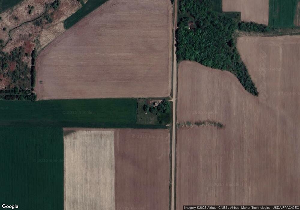
Map
Nearby Homes
- 0 Chickadee Rd Unit 22505635
- 501 S Main St
- 211 Other
- 210 S Division St
- 400 W Mill St
- 314 N Division St
- N6695 Pelsdorf Ave
- N10160 Sparrow Ave
- 609 E Schofield Ave
- N8296 River Ave
- 311 S Eaton Ave Unit 1-12
- 203 S Crocker Ave
- 300 E Division St
- W839 W Rosewood Dr Unit Lot 4
- 300 E Miller St
- 219 N Main St
- 104 W Begley St
- 315 W Begley St
- W6126 Sladich Rd
- 306 W 3rd St