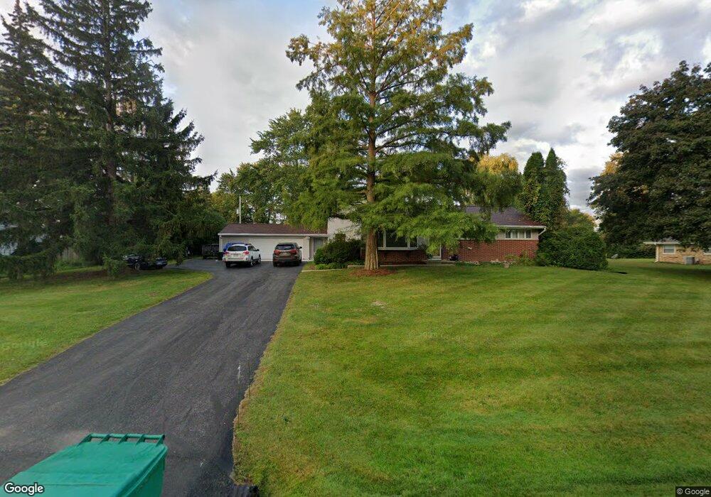
N78W16327 Carl Ross Dr Menomonee Falls, WI 53051
Estimated Value: $424,000 - $450,000
4
Beds
2
Baths
2,016
Sq Ft
$216/Sq Ft
Est. Value
About This Home
This home is located at N78W16327 Carl Ross Dr, Menomonee Falls, WI 53051 and is currently estimated at $435,036, approximately $215 per square foot. N78W16327 Carl Ross Dr is a home located in Waukesha County with nearby schools including Valley View Elementary School, North Middle School, and Menomonee Falls High School.
Ownership History
Date
Name
Owned For
Owner Type
Purchase Details
Closed on
Jun 25, 2007
Sold by
Reckin Renee M and Flynn Renee M
Bought by
Heuss Bruce D and Heuss Valeria H
Current Estimated Value
Home Financials for this Owner
Home Financials are based on the most recent Mortgage that was taken out on this home.
Original Mortgage
$182,400
Outstanding Balance
$113,709
Interest Rate
6.54%
Mortgage Type
Purchase Money Mortgage
Estimated Equity
$321,327
Purchase Details
Closed on
Nov 14, 2001
Sold by
Bilder Michael D and Bilder Debra S
Bought by
Flynn Renee M
Home Financials for this Owner
Home Financials are based on the most recent Mortgage that was taken out on this home.
Original Mortgage
$142,500
Interest Rate
6.53%
Create a Home Valuation Report for This Property
The Home Valuation Report is an in-depth analysis detailing your home's value as well as a comparison with similar homes in the area
Home Values in the Area
Average Home Value in this Area
Purchase History
| Date | Buyer | Sale Price | Title Company |
|---|---|---|---|
| Heuss Bruce D | $228,000 | None Available | |
| Flynn Renee M | $182,500 | -- |
Source: Public Records
Mortgage History
| Date | Status | Borrower | Loan Amount |
|---|---|---|---|
| Open | Heuss Bruce D | $182,400 | |
| Previous Owner | Flynn Renee M | $142,500 |
Source: Public Records
Tax History Compared to Growth
Tax History
| Year | Tax Paid | Tax Assessment Tax Assessment Total Assessment is a certain percentage of the fair market value that is determined by local assessors to be the total taxable value of land and additions on the property. | Land | Improvement |
|---|---|---|---|---|
| 2024 | $3,929 | $346,600 | $114,000 | $232,600 |
| 2023 | $3,744 | $346,600 | $114,000 | $232,600 |
| 2022 | $3,600 | $225,100 | $78,400 | $146,700 |
| 2021 | $3,444 | $225,100 | $78,400 | $146,700 |
| 2020 | $3,629 | $225,100 | $78,400 | $146,700 |
| 2019 | $3,469 | $225,100 | $78,400 | $146,700 |
| 2018 | $3,638 | $225,100 | $78,400 | $146,700 |
| 2017 | $3,771 | $225,100 | $78,400 | $146,700 |
| 2016 | $3,836 | $225,100 | $78,400 | $146,700 |
| 2015 | $3,847 | $225,100 | $78,400 | $146,700 |
| 2014 | $4,100 | $225,100 | $78,400 | $146,700 |
| 2013 | $4,100 | $225,100 | $78,400 | $146,700 |
Source: Public Records
Map
Nearby Homes
- N53W19764 Kingair Dr
- N53W19776 Kingair Dr
- W155N7481 Pebble Ct
- N79W17331 Bluejay Ct Unit 1
- W174N8125 Shady Ln Unit 1
- W163N8459 Arthur Ave
- W175N8080 Robin Cir Unit 1
- N84W16544 Ann Ave
- N84W15750 Ridge Rd Unit 204
- N72W17011 Good Hope Rd
- N86W16193 Arthur Ave
- Lt2 Good Hope Rd
- W147N7725 Northpoint Dr
- The Charlotte Plan at Edgewood Preserve
- The Elsa Plan at Edgewood Preserve
- The Isabella Plan at Edgewood Preserve
- The Julia Plan at Edgewood Preserve
- The Clara Plan at Edgewood Preserve
- Lt7 Morning Star Ct
- The Aubrey Plan at Edgewood Preserve
- N78W16371 Carl Ross Dr
- N78W16301 Carl Ross Dr
- N78W16300 Carl Ross Dr
- N78W16277 Carl Ross Dr
- N78W16343 Community Dr
- W164N7820 Tamarack Trail
- W164N7806 Tamarack Trail
- N78W16262 Carl Ross Dr
- W164N7836 Tamarack Trail
- W164N7860 Tamarack Trail
- N78W16398 Carl Ross Dr
- N78W16245 Carl Ross Dr
- N79W16277 Community Dr
- W164N7841 Tamarack Trail
- N77W16380 Overlook Dr
- N77W16336 Overlook Dr
- N78W16352 Community Dr
- N77W16300 Overlook Dr
- W164N7898 Tamarack Trail
- N77W16270 Overlook Dr