N7979 High Rd Watertown, WI 53094
Estimated Value: $324,105 - $433,000
--
Bed
--
Bath
--
Sq Ft
3.78
Acres
About This Home
This home is located at N7979 High Rd, Watertown, WI 53094 and is currently estimated at $355,026. N7979 High Rd is a home located in Jefferson County with nearby schools including Johnson Creek Elementary School, Johnson Creek Middle & High School, and eCampus Academy Charter School.
Ownership History
Date
Name
Owned For
Owner Type
Purchase Details
Closed on
Sep 14, 2018
Sold by
Hertel Mark E
Bought by
Hertel Hertel Jane K Jane K and Hertel Brother Paul
Current Estimated Value
Purchase Details
Closed on
Mar 11, 2016
Sold by
Liv Hertel Mark E and Liv William E Hertel Revocable
Bought by
Hertel Mark E
Purchase Details
Closed on
Nov 12, 2012
Sold by
Herter William E
Bought by
Liv Hertel Mark E and Liv William E Herter Revocable
Create a Home Valuation Report for This Property
The Home Valuation Report is an in-depth analysis detailing your home's value as well as a comparison with similar homes in the area
Home Values in the Area
Average Home Value in this Area
Purchase History
| Date | Buyer | Sale Price | Title Company |
|---|---|---|---|
| Hertel Hertel Jane K Jane K | -- | None Available | |
| Hertel Mark E | -- | None Available | |
| Liv Hertel Mark E | -- | None Available |
Source: Public Records
Tax History Compared to Growth
Tax History
| Year | Tax Paid | Tax Assessment Tax Assessment Total Assessment is a certain percentage of the fair market value that is determined by local assessors to be the total taxable value of land and additions on the property. | Land | Improvement |
|---|---|---|---|---|
| 2024 | $3,960 | $285,100 | $87,800 | $197,300 |
| 2023 | $3,985 | $165,700 | $53,200 | $112,500 |
| 2022 | $4,053 | $180,300 | $67,800 | $112,500 |
| 2021 | $3,480 | $180,300 | $67,800 | $112,500 |
| 2020 | $3,430 | $180,300 | $67,800 | $112,500 |
| 2019 | $3,222 | $180,300 | $67,800 | $112,500 |
| 2018 | $3,230 | $180,300 | $67,800 | $112,500 |
| 2017 | $3,187 | $180,300 | $67,800 | $112,500 |
| 2016 | $3,084 | $180,300 | $67,800 | $112,500 |
| 2015 | $3,131 | $180,300 | $67,800 | $112,500 |
| 2014 | $3,302 | $210,400 | $75,300 | $135,100 |
| 2013 | $2,942 | $210,400 | $75,300 | $135,100 |
Source: Public Records
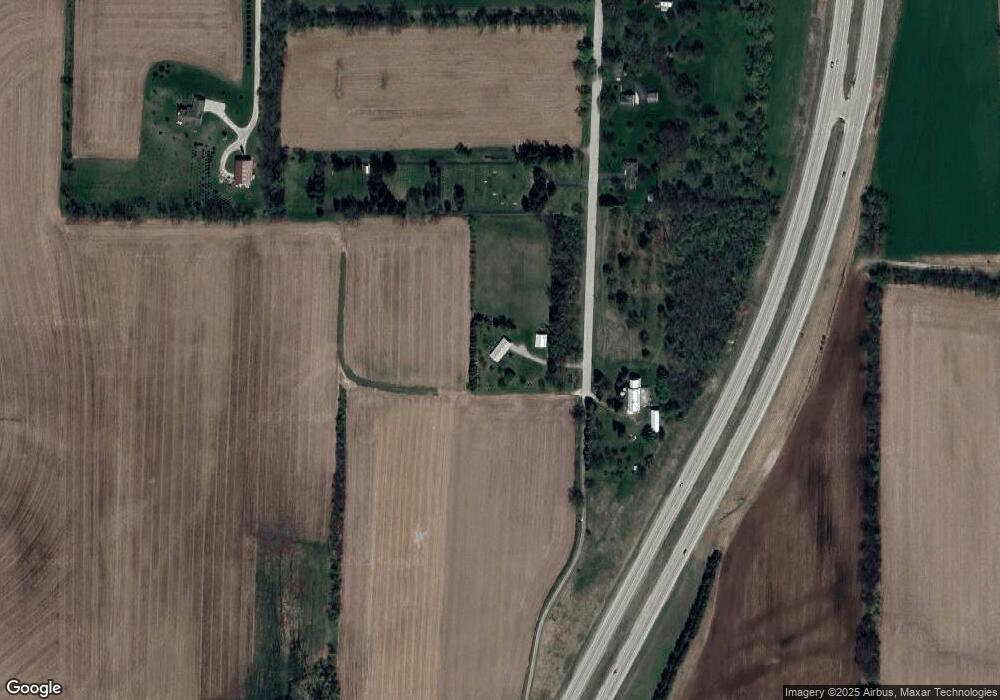
Map
Nearby Homes
- 0 E Confidential St Unit 1889932
- Lt0 Gateway Dr
- Lot 2 Reichart Ln
- Lot 1 Reichart Ln
- N8002 County Road A
- N8005 County Road A
- 908 Franklin St
- 1507 S 10th St
- 1418 S 9th St
- 1314 Waldron St
- 1313 Utah St
- 131 Cedar Ct
- W3476 Ranch Rd
- 758 Johnson St
- 750 Johnson St
- 1301 Utah St
- 525 South St
- The Saybrook Plan at Rock River Ridge
- The Atwater Plan at Rock River Ridge
- The Hudson Plan at Rock River Ridge
- L1 High Rd
- N7976 High Rd
- N8024 High Rd
- N8042 High Rd
- W4229 Ebenezer Dr
- N8090 High Rd
- N5168 Switzke Rd
- W4182 Ebenezer Dr
- N8107 High Rd
- N8020 Switzke Rd
- N8020 Switzke Rd
- N8060 Switzke Rd
- W4085 Ebenezer Dr
- W4267 Ebenezer Dr
- N8068 Switzke Rd
- 4283 Ebenezer Dr
- W4283 Ebenezer Dr
- N8143 High Rd
- W4278 Ebenezer Dr
- W4114 Ebenezer Dr