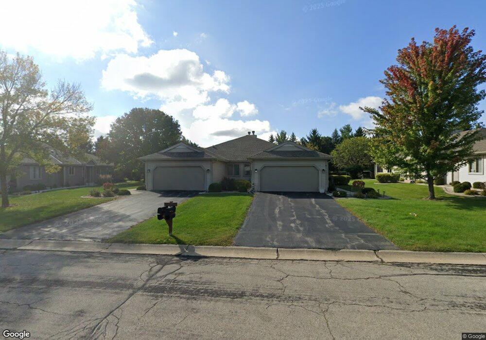
N80W17371 Robin Cir Unit 2 Menomonee Falls, WI 53051
Estimated Value: $403,668 - $447,000
2
Beds
2
Baths
1,666
Sq Ft
$251/Sq Ft
Est. Value
About This Home
This home is located at N80W17371 Robin Cir Unit 2, Menomonee Falls, WI 53051 and is currently estimated at $418,667, approximately $251 per square foot. N80W17371 Robin Cir Unit 2 is a home located in Waukesha County with nearby schools including Valley View Elementary School, North Middle School, and Menomonee Falls High School.
Ownership History
Date
Name
Owned For
Owner Type
Purchase Details
Closed on
Sep 17, 2018
Sold by
Leonhardt Gail A
Bought by
Leonhardt Gail A and Gail A Leonhardt Revocable Tru
Current Estimated Value
Purchase Details
Closed on
Sep 21, 2017
Sold by
Dunbar Thomas R and Dunbar Lavone D
Bought by
Leonhardt Gail A
Create a Home Valuation Report for This Property
The Home Valuation Report is an in-depth analysis detailing your home's value as well as a comparison with similar homes in the area
Home Values in the Area
Average Home Value in this Area
Purchase History
| Date | Buyer | Sale Price | Title Company |
|---|---|---|---|
| Leonhardt Gail A | -- | None Available | |
| Leonhardt Gail A | $271,500 | Priority Title Corp |
Source: Public Records
Tax History Compared to Growth
Tax History
| Year | Tax Paid | Tax Assessment Tax Assessment Total Assessment is a certain percentage of the fair market value that is determined by local assessors to be the total taxable value of land and additions on the property. | Land | Improvement |
|---|---|---|---|---|
| 2024 | $3,817 | $339,800 | $43,500 | $296,300 |
| 2023 | $3,668 | $339,800 | $43,500 | $296,300 |
| 2022 | $3,362 | $210,700 | $30,000 | $180,700 |
| 2021 | $3,216 | $210,700 | $30,000 | $180,700 |
| 2020 | $3,392 | $210,700 | $30,000 | $180,700 |
| 2019 | $3,241 | $210,700 | $30,000 | $180,700 |
| 2018 | $3,395 | $210,700 | $30,000 | $180,700 |
| 2017 | $3,522 | $210,700 | $30,000 | $180,700 |
| 2016 | $3,582 | $210,700 | $30,000 | $180,700 |
| 2015 | $3,594 | $210,700 | $30,000 | $180,700 |
| 2014 | $3,833 | $210,700 | $30,000 | $180,700 |
| 2013 | $3,833 | $210,700 | $30,000 | $180,700 |
Source: Public Records
Map
Nearby Homes
- N78W17396 Wildwood Dr Unit 42
- W175N8080 Robin Cir Unit 1
- W174N8125 Shady Ln Unit 1
- N84W18113 Imperial Ct
- N75W17841 Woody Ln
- W177N8635 Lynwood Dr
- W163N8459 Arthur Ave
- N74W17930 Mineral Dr
- N73W17723 Mineral Dr
- N53W19764 Kingair Dr
- N53W19710 Kingair Dr
- N53W19776 Kingair Dr
- N86W16564 Jacobson Dr
- 19010 W Main St
- N88W17868 Christman Rd
- N86W16387 Appleton Ave
- N87W18225 Queensway St
- Lt7 Morning Star Ct
- Lt2 Good Hope Rd
- W178N8846 Queensway St
- N80W17373 Robin Cir
- N80W17343 Robin Cir
- N80W17344 Robin Cir Unit 1
- N80W17397 Robin Cir Unit 1
- N80W17374 Robin Cir
- N80W17404 Robin Cir
- W173N8035 Shady Ln Unit 1
- N80W17429 Robin Cir Unit 1
- N80W17485 Robin Cir Unit 2
- N80W17345 Robin Cir Unit 2
- W175N8052 Robin Cir Unit 2
- W175N8064 Robin Cir Unit 19W2
- W175N8106 Robin Cir Unit 2
- W175N8140 Robin Cir
- W175N8094 Robin Cir Unit 2
- N80W17432 Robin Cir
- W175N8061 Robin Cir Unit 8W2
- N80W17301 Robin Cir Unit 2
- W175N8077 Robin Cir Unit 2
- N80W17402 Robin Cir Unit 2