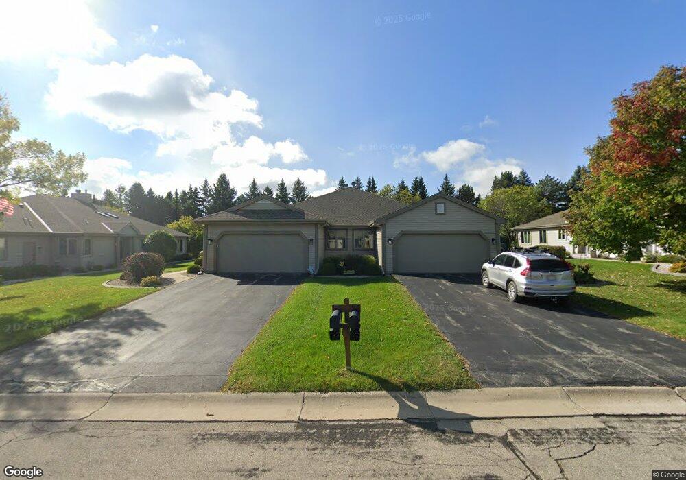
N80W17455 Robin Cir Menomonee Falls, WI 53051
Estimated Value: $410,000 - $447,000
2
Beds
2
Baths
1,666
Sq Ft
$253/Sq Ft
Est. Value
About This Home
This home is located at N80W17455 Robin Cir, Menomonee Falls, WI 53051 and is currently estimated at $421,514, approximately $253 per square foot. N80W17455 Robin Cir is a home located in Waukesha County with nearby schools including Valley View Elementary School, North Middle School, and Menomonee Falls High School.
Ownership History
Date
Name
Owned For
Owner Type
Purchase Details
Closed on
Jul 20, 2020
Sold by
Beiri Elmer and Bieri Edward E
Bought by
Brown Micheal and Brown Cindy
Current Estimated Value
Purchase Details
Closed on
Dec 12, 2018
Sold by
Dearteaga Bonnie L
Bought by
Buckman Beidget L and Dearteaga Julio C
Purchase Details
Closed on
Aug 5, 2002
Sold by
Bieri Elmer E and Bieri Joey L
Bought by
Dearteaga Bonnie L and Bieri Edward E
Purchase Details
Closed on
Mar 23, 1999
Sold by
Tamarack Village
Bought by
Bieri Elmer E and Bieri Joey L
Home Financials for this Owner
Home Financials are based on the most recent Mortgage that was taken out on this home.
Original Mortgage
$165,000
Interest Rate
6.25%
Create a Home Valuation Report for This Property
The Home Valuation Report is an in-depth analysis detailing your home's value as well as a comparison with similar homes in the area
Home Values in the Area
Average Home Value in this Area
Purchase History
| Date | Buyer | Sale Price | Title Company |
|---|---|---|---|
| Brown Micheal | $299,000 | None Available | |
| Buckman Beidget L | -- | None Available | |
| Dearteaga Bonnie L | -- | -- | |
| Bieri Elmer E | $176,000 | -- |
Source: Public Records
Mortgage History
| Date | Status | Borrower | Loan Amount |
|---|---|---|---|
| Previous Owner | Bieri Elmer E | $165,000 |
Source: Public Records
Tax History Compared to Growth
Tax History
| Year | Tax Paid | Tax Assessment Tax Assessment Total Assessment is a certain percentage of the fair market value that is determined by local assessors to be the total taxable value of land and additions on the property. | Land | Improvement |
|---|---|---|---|---|
| 2024 | $3,970 | $353,100 | $43,500 | $309,600 |
| 2023 | $3,817 | $353,100 | $43,500 | $309,600 |
| 2022 | $3,473 | $217,400 | $30,000 | $187,400 |
| 2021 | $3,323 | $217,400 | $30,000 | $187,400 |
| 2020 | $3,502 | $217,400 | $30,000 | $187,400 |
| 2019 | $3,347 | $217,400 | $30,000 | $187,400 |
| 2018 | $3,508 | $217,400 | $30,000 | $187,400 |
| 2017 | $4,171 | $217,400 | $30,000 | $187,400 |
| 2016 | $3,700 | $217,400 | $30,000 | $187,400 |
| 2015 | $3,712 | $217,400 | $30,000 | $187,400 |
| 2014 | $3,957 | $217,400 | $30,000 | $187,400 |
| 2013 | $3,957 | $217,400 | $30,000 | $187,400 |
Source: Public Records
Map
Nearby Homes
- W175N8080 Robin Cir Unit 1
- N78W17396 Wildwood Dr Unit 42
- W174N8125 Shady Ln Unit 1
- N84W18113 Imperial Ct
- N75W17841 Woody Ln
- W177N8635 Lynwood Dr
- N74W17930 Mineral Dr
- N73W17723 Mineral Dr
- W163N8459 Arthur Ave
- 19010 W Main St
- N53W19764 Kingair Dr
- N53W19710 Kingair Dr
- N53W19776 Kingair Dr
- N86W16564 Jacobson Dr
- N88W17868 Christman Rd
- N87W18225 Queensway St
- Lt7 Morning Star Ct
- Lt2 Good Hope Rd
- W178N8846 Queensway St
- N86W16387 Appleton Ave
- N80W17455 Robin Cir Unit 1
- N80W17429 Robin Cir Unit 1
- N80W17483 Robin Cir
- N80W17397 Robin Cir Unit 1
- N80W17460 Robin Cir
- N80W17434 Robin Cir
- N80W17404 Robin Cir
- N80W17535 Robin Cir Unit 2
- W175N8054 Robin Cir Unit 1
- N80W17373 Robin Cir
- N80W17371 Robin Cir Unit 2
- N80W17374 Robin Cir
- N80W17439 Cardinal Ct Unit 1
- N80W17343 Robin Cir
- W175N8066 Robin Cir Unit 1
- N80W17433 Cardinal Ct
- N80W17344 Robin Cir Unit 1
- W175N8043 Robin Cir
- W175N8041 Robin Cir Unit 1
- N80W17451 Cardinal Ct