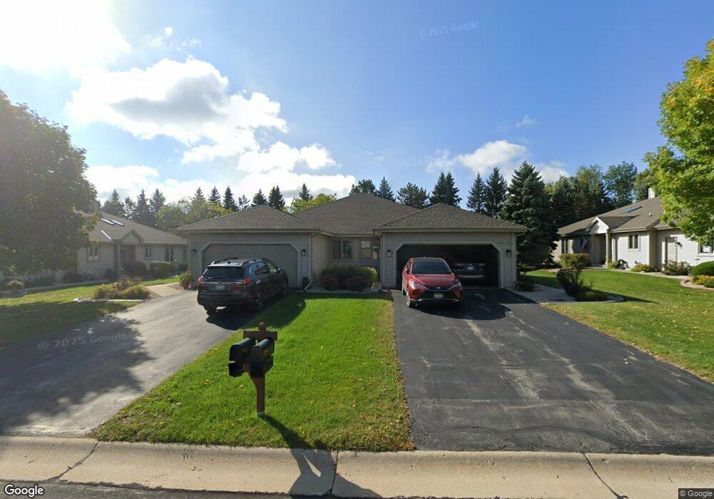
N80W17485 Robin Cir Unit 2 Menomonee Falls, WI 53051
Estimated Value: $396,000 - $440,000
2
Beds
2
Baths
1,666
Sq Ft
$247/Sq Ft
Est. Value
About This Home
This home is located at N80W17485 Robin Cir Unit 2, Menomonee Falls, WI 53051 and is currently estimated at $412,158, approximately $247 per square foot. N80W17485 Robin Cir Unit 2 is a home located in Waukesha County with nearby schools including Valley View Elementary School, North Middle School, and Menomonee Falls High School.
Ownership History
Date
Name
Owned For
Owner Type
Purchase Details
Closed on
Feb 1, 2017
Sold by
Siler Sobina M
Bought by
Bloedorn Michael F and Lucy A Bloedorn Living Trust
Current Estimated Value
Home Financials for this Owner
Home Financials are based on the most recent Mortgage that was taken out on this home.
Original Mortgage
$196,000
Outstanding Balance
$99,397
Interest Rate
4.3%
Mortgage Type
New Conventional
Estimated Equity
$312,761
Purchase Details
Closed on
Jul 28, 2009
Sold by
Silver Sabina M
Bought by
Silver Sabina M and Sabina Silver Trust
Purchase Details
Closed on
Jun 19, 1998
Sold by
Tamarack Village
Bought by
Sabina M Silver Revocable Living Trust
Home Financials for this Owner
Home Financials are based on the most recent Mortgage that was taken out on this home.
Original Mortgage
$60,000
Interest Rate
7%
Create a Home Valuation Report for This Property
The Home Valuation Report is an in-depth analysis detailing your home's value as well as a comparison with similar homes in the area
Home Values in the Area
Average Home Value in this Area
Purchase History
| Date | Buyer | Sale Price | Title Company |
|---|---|---|---|
| Bloedorn Michael F | $245,000 | None Available | |
| Silver Sabina M | -- | None Available | |
| Silver Sabina M | -- | None Available | |
| Sabina M Silver Revocable Living Trust | $172,200 | -- |
Source: Public Records
Mortgage History
| Date | Status | Borrower | Loan Amount |
|---|---|---|---|
| Open | Bloedorn Michael F | $196,000 | |
| Previous Owner | Sabina M Silver Revocable Living Trust | $60,000 |
Source: Public Records
Tax History Compared to Growth
Tax History
| Year | Tax Paid | Tax Assessment Tax Assessment Total Assessment is a certain percentage of the fair market value that is determined by local assessors to be the total taxable value of land and additions on the property. | Land | Improvement |
|---|---|---|---|---|
| 2024 | $3,809 | $339,100 | $43,500 | $295,600 |
| 2023 | $3,660 | $339,100 | $43,500 | $295,600 |
| 2022 | $3,323 | $208,300 | $30,000 | $178,300 |
| 2021 | $3,178 | $208,300 | $30,000 | $178,300 |
| 2020 | $3,352 | $208,300 | $30,000 | $178,300 |
| 2019 | $3,203 | $208,300 | $30,000 | $178,300 |
| 2018 | $3,355 | $208,300 | $30,000 | $178,300 |
| 2017 | $3,481 | $208,300 | $30,000 | $178,300 |
| 2016 | $3,540 | $208,300 | $30,000 | $178,300 |
| 2015 | $3,552 | $208,300 | $30,000 | $178,300 |
| 2014 | $3,788 | $208,300 | $30,000 | $178,300 |
| 2013 | $3,788 | $208,300 | $30,000 | $178,300 |
Source: Public Records
Map
Nearby Homes
- W174N8125 Shady Ln Unit 1
- W175N8080 Robin Cir Unit 1
- N78W17396 Wildwood Dr Unit 42
- N84W18113 Imperial Ct
- N75W17841 Woody Ln
- W163N8459 Arthur Ave
- W177N8635 Lynwood Dr
- N53W19764 Kingair Dr
- N53W19710 Kingair Dr
- N53W19776 Kingair Dr
- N74W17930 Mineral Dr
- N73W17723 Mineral Dr
- N86W16564 Jacobson Dr
- N86W16387 Appleton Ave
- N88W17868 Christman Rd
- 19010 W Main St
- N86W16193 Arthur Ave
- N87W18225 Queensway St
- W178N8846 Queensway St
- Lt7 Morning Star Ct
- N80W17345 Robin Cir Unit 2
- W175N8052 Robin Cir Unit 2
- W175N8064 Robin Cir Unit 19W2
- W175N8106 Robin Cir Unit 2
- W175N8140 Robin Cir
- W175N8094 Robin Cir Unit 2
- N80W17432 Robin Cir
- W175N8061 Robin Cir Unit 8W2
- N80W17301 Robin Cir Unit 2
- W175N8077 Robin Cir Unit 2
- N80W17402 Robin Cir Unit 2
- W175N8078 Robin Cir Unit 2
- N80W17399 Robin Cir Unit 2
- W175N8099 Robin Cir Unit 2
- W175N8120 Robin Cir
- W175N8049 Robin Cir
- W175N8085 Robin Cir
- N80W17486 Robin Cir
- N80W17458 Robin Cir
- N80W17372 Robin Cir