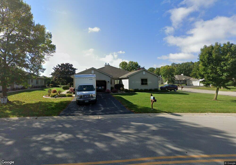
N81W17517 Shady Ln Unit 1 Menomonee Falls, WI 53051
Estimated Value: $395,000 - $429,000
2
Beds
2
Baths
1,666
Sq Ft
$244/Sq Ft
Est. Value
About This Home
This home is located at N81W17517 Shady Ln Unit 1, Menomonee Falls, WI 53051 and is currently estimated at $407,257, approximately $244 per square foot. N81W17517 Shady Ln Unit 1 is a home located in Waukesha County with nearby schools including Valley View Elementary School, North Middle School, and Menomonee Falls High School.
Ownership History
Date
Name
Owned For
Owner Type
Purchase Details
Closed on
Jun 23, 2015
Sold by
Lewis Marsha D
Bought by
Calteux David and Calteux Jeanne
Current Estimated Value
Home Financials for this Owner
Home Financials are based on the most recent Mortgage that was taken out on this home.
Original Mortgage
$234,650
Outstanding Balance
$182,453
Interest Rate
3.86%
Mortgage Type
New Conventional
Estimated Equity
$224,804
Purchase Details
Closed on
Sep 30, 2014
Sold by
Lewis Marsha D
Bought by
Lewis Marsha D
Purchase Details
Closed on
Jun 29, 2005
Sold by
Gilbert Marlene E
Bought by
Lewis Michael M and Lewis Marsha D
Home Financials for this Owner
Home Financials are based on the most recent Mortgage that was taken out on this home.
Original Mortgage
$165,000
Interest Rate
5.69%
Mortgage Type
Fannie Mae Freddie Mac
Purchase Details
Closed on
Dec 31, 2004
Sold by
Woll Nancy P and Herbon Geoffrey M
Bought by
Gilbert Marlene E
Create a Home Valuation Report for This Property
The Home Valuation Report is an in-depth analysis detailing your home's value as well as a comparison with similar homes in the area
Home Values in the Area
Average Home Value in this Area
Purchase History
| Date | Buyer | Sale Price | Title Company |
|---|---|---|---|
| Calteux David | $247,000 | None Available | |
| Lewis Marsha D | -- | None Available | |
| Lewis Michael M | $260,000 | Metropolitan Title Company | |
| Gilbert Marlene E | $260,100 | -- |
Source: Public Records
Mortgage History
| Date | Status | Borrower | Loan Amount |
|---|---|---|---|
| Open | Calteux David | $234,650 | |
| Previous Owner | Lewis Michael M | $165,000 |
Source: Public Records
Tax History Compared to Growth
Tax History
| Year | Tax Paid | Tax Assessment Tax Assessment Total Assessment is a certain percentage of the fair market value that is determined by local assessors to be the total taxable value of land and additions on the property. | Land | Improvement |
|---|---|---|---|---|
| 2024 | $3,779 | $336,500 | $43,500 | $293,000 |
| 2023 | $3,631 | $336,500 | $43,500 | $293,000 |
| 2022 | $3,315 | $207,800 | $30,000 | $177,800 |
| 2021 | $3,170 | $207,800 | $30,000 | $177,800 |
| 2020 | $3,344 | $207,800 | $30,000 | $177,800 |
| 2019 | $3,195 | $207,800 | $30,000 | $177,800 |
| 2018 | $3,346 | $207,800 | $30,000 | $177,800 |
| 2017 | $3,472 | $207,800 | $30,000 | $177,800 |
| 2016 | $3,531 | $207,800 | $30,000 | $177,800 |
| 2015 | $3,544 | $207,800 | $30,000 | $177,800 |
| 2014 | -- | $207,800 | $30,000 | $177,800 |
| 2013 | -- | $207,800 | $30,000 | $177,800 |
Source: Public Records
Map
Nearby Homes
- W174N8125 Shady Ln Unit 1
- W175N8080 Robin Cir Unit 1
- N78W17396 Wildwood Dr Unit 42
- N84W18113 Imperial Ct
- W177N8635 Lynwood Dr
- W163N8459 Arthur Ave
- N75W17841 Woody Ln
- N88W17868 Christman Rd
- N87W18225 Queensway St
- 19010 W Main St
- W178N8846 Queensway St
- N86W16564 Jacobson Dr
- N74W17930 Mineral Dr
- N73W17723 Mineral Dr
- N86W16387 Appleton Ave
- N86W16193 Arthur Ave
- N53W19764 Kingair Dr
- N53W19710 Kingair Dr
- N53W19776 Kingair Dr
- N84W15750 Ridge Rd Unit 204
- N81W17493 Shady Ln
- N81W17423 Shady Ln Unit 2
- W174N8111 Shady Ln Unit 2
- N81W17463 Shady Ln Unit 2
- N81W17495 Shady Ln
- W175N8122 Robin Cir
- W175N8139 Robin Cir Unit 2
- W175N8137 Robin Cir
- N81W17461 Shady Ln Unit 1
- W175N8151 Robin Cir
- N81W17573 Shady Ln
- W175N8151 Robin Cir Unit 1
- W175N8131 Robin Cir
- W175N8129 Robin Cir
- W175N8108 Robin Cir
- W175N8107 Robin Cir
- N81W17421 Shady Ln Unit 1
- W175N8096 Robin Cir Unit 1
- N80W17456 Cardinal Ct
- N80W17444 Cardinal Ct Unit 321