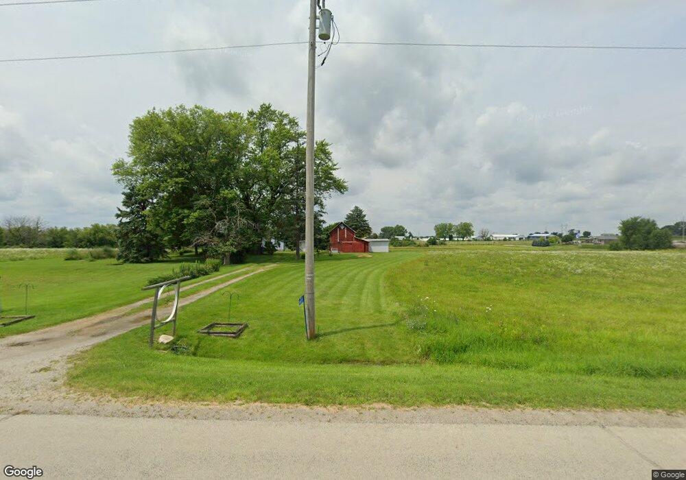
N8319 Airport Rd Watertown, WI 53094
Estimated Value: $188,000 - $330,000
--
Bed
--
Bath
--
Sq Ft
14.24
Acres
About This Home
This home is located at N8319 Airport Rd, Watertown, WI 53094 and is currently estimated at $250,238. N8319 Airport Rd is a home with nearby schools including Watertown High School, Watertown Catholic School - St. Bernard Campus, and Trinity-St. Luke's Lutheran Middle School.
Ownership History
Date
Name
Owned For
Owner Type
Purchase Details
Closed on
Nov 18, 2022
Sold by
Hahn Robert W
Bought by
Robert W Hahn As Trustee Of The Robert
Current Estimated Value
Purchase Details
Closed on
Aug 1, 2008
Sold by
Hahn Robert W
Bought by
Deportment Of Transportation
Create a Home Valuation Report for This Property
The Home Valuation Report is an in-depth analysis detailing your home's value as well as a comparison with similar homes in the area
Home Values in the Area
Average Home Value in this Area
Purchase History
| Date | Buyer | Sale Price | Title Company |
|---|---|---|---|
| Robert W Hahn As Trustee Of The Robert | $154,300 | Andrew R. Griggs | |
| Deportment Of Transportation | $17,800 | None Available |
Source: Public Records
Tax History Compared to Growth
Tax History
| Year | Tax Paid | Tax Assessment Tax Assessment Total Assessment is a certain percentage of the fair market value that is determined by local assessors to be the total taxable value of land and additions on the property. | Land | Improvement |
|---|---|---|---|---|
| 2024 | $1,555 | $154,900 | $140,300 | $14,600 |
| 2023 | $1,460 | $99,800 | $90,400 | $9,400 |
| 2022 | $1,522 | $99,800 | $90,400 | $9,400 |
| 2021 | $1,452 | $99,800 | $90,400 | $9,400 |
| 2020 | $1,517 | $99,800 | $90,400 | $9,400 |
| 2019 | $1,416 | $99,800 | $90,400 | $9,400 |
| 2018 | $1,370 | $99,800 | $90,400 | $9,400 |
| 2017 | $1,465 | $99,800 | $90,400 | $9,400 |
| 2016 | $1,445 | $99,800 | $90,400 | $9,400 |
| 2015 | $1,488 | $99,800 | $90,400 | $9,400 |
| 2014 | $1,241 | $87,200 | $37,400 | $49,800 |
| 2013 | $1,286 | $86,900 | $37,100 | $49,800 |
Source: Public Records
Map
Nearby Homes
- Lt0 Gateway Dr
- 0 E Confidential St Unit 1889932
- 908 Franklin St
- 1507 S 10th St
- 1418 S 9th St
- 1314 Waldron St
- 1313 Utah St
- 1330 S 10th St
- 1301 Utah St
- 131 Cedar Ct
- 758 Johnson St
- 750 Johnson St
- 1215 Utah St
- The Saybrook Plan at Rock River Ridge
- The Atwater Plan at Rock River Ridge
- The Hudson Plan at Rock River Ridge
- The Coral Plan at Rock River Ridge
- The Drake Plan at Rock River Ridge
- The Addison Plan at Rock River Ridge
- The Bradford Plan at Rock River Ridge
- 21 Acres Airport Rd Ebenezer Road Rd
- 21 Acres Airport Rd Ebenezer Rd
- 21 Acres Airport Rd Ebenezer Rd
- N8259 Airport Rd
- N8259 Airport Rd
- N8350 Airport Rd
- N8322 High Rd
- N8266 High Rd
- N8433 High Rd
- N8210 High Rd
- N8170 Airport Rd
- N8166 Airport Rd
- N8495 Airport Rd
- N8215 High Rd
- N8205 High Rd
- Lt1 Airport Rd
- 0 Airport Rd Unit LOT 1 1514592
- N8506 Airport Rd
- N8140 Airport Rd
- N8516 Airport Rd