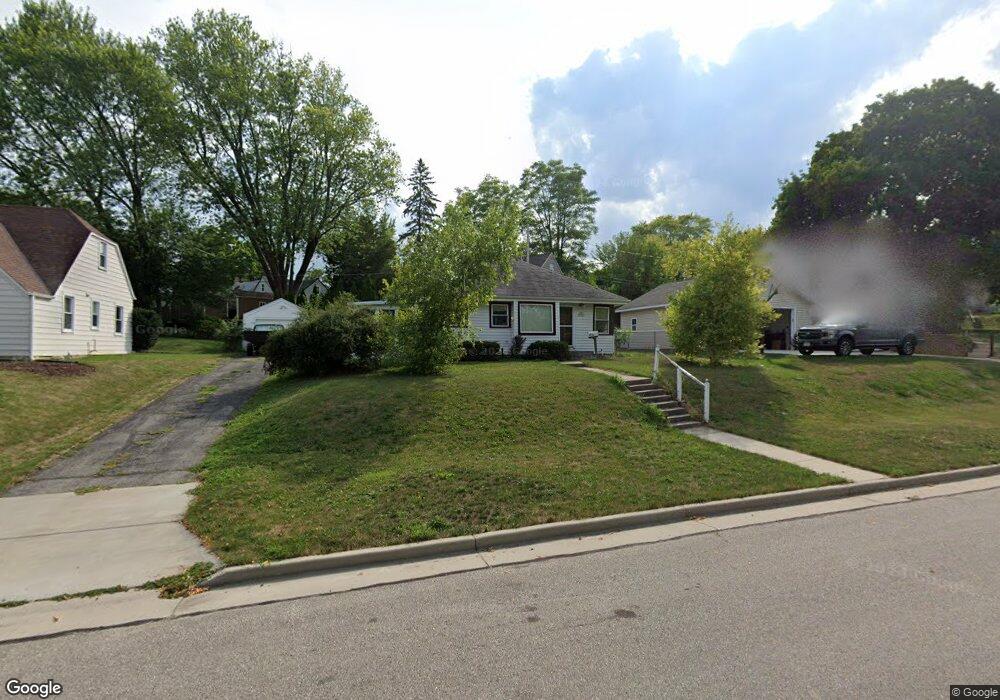
N85W16303 May Ave Menomonee Falls, WI 53051
Estimated Value: $255,000 - $306,000
2
Beds
1
Bath
686
Sq Ft
$394/Sq Ft
Est. Value
About This Home
This home is located at N85W16303 May Ave, Menomonee Falls, WI 53051 and is currently estimated at $270,487, approximately $394 per square foot. N85W16303 May Ave is a home located in Waukesha County with nearby schools including Shady Lane Elementary School, North Middle School, and Menomonee Falls High School.
Ownership History
Date
Name
Owned For
Owner Type
Purchase Details
Closed on
Jun 24, 2002
Sold by
Montez Peter and Montez Linda
Bought by
Harbort James A
Current Estimated Value
Home Financials for this Owner
Home Financials are based on the most recent Mortgage that was taken out on this home.
Original Mortgage
$100,000
Outstanding Balance
$41,714
Interest Rate
6.62%
Estimated Equity
$228,773
Purchase Details
Closed on
Nov 10, 2000
Sold by
Wall Darold E
Bought by
Montez Peter and Montez Linda
Home Financials for this Owner
Home Financials are based on the most recent Mortgage that was taken out on this home.
Original Mortgage
$67,920
Interest Rate
7.7%
Create a Home Valuation Report for This Property
The Home Valuation Report is an in-depth analysis detailing your home's value as well as a comparison with similar homes in the area
Home Values in the Area
Average Home Value in this Area
Purchase History
| Date | Buyer | Sale Price | Title Company |
|---|---|---|---|
| Harbort James A | $117,000 | -- | |
| Montez Peter | $84,900 | -- |
Source: Public Records
Mortgage History
| Date | Status | Borrower | Loan Amount |
|---|---|---|---|
| Open | Harbort James A | $100,000 | |
| Previous Owner | Montez Peter | $67,920 | |
| Closed | Montez Peter | $25,000 |
Source: Public Records
Tax History Compared to Growth
Tax History
| Year | Tax Paid | Tax Assessment Tax Assessment Total Assessment is a certain percentage of the fair market value that is determined by local assessors to be the total taxable value of land and additions on the property. | Land | Improvement |
|---|---|---|---|---|
| 2024 | $2,247 | $203,500 | $86,900 | $116,600 |
| 2023 | $2,147 | $203,500 | $86,900 | $116,600 |
| 2022 | $2,209 | $140,900 | $60,000 | $80,900 |
| 2021 | $2,111 | $140,900 | $60,000 | $80,900 |
| 2020 | $2,243 | $140,900 | $60,000 | $80,900 |
| 2019 | $2,135 | $140,900 | $60,000 | $80,900 |
| 2018 | $2,219 | $140,900 | $60,000 | $80,900 |
| 2017 | $2,319 | $140,900 | $60,000 | $80,900 |
| 2016 | $2,354 | $140,900 | $60,000 | $80,900 |
| 2015 | $2,372 | $140,900 | $60,000 | $80,900 |
| 2014 | $2,537 | $140,900 | $60,000 | $80,900 |
| 2013 | $2,537 | $140,900 | $60,000 | $80,900 |
Source: Public Records
Map
Nearby Homes
- W163N8459 Arthur Ave
- N84W16544 Ann Ave
- N86W16193 Arthur Ave
- N86W16387 Appleton Ave
- N86W16564 Jacobson Dr
- N84W15750 Ridge Rd Unit 204
- N89W16328 Cleveland Ave
- Lt101 Main St
- Lt54 Main St
- Lt8 Main St
- Lt53 Main St
- Lt57 Main St
- Lt13 Main St
- Lt87 Main St
- Lt45 Main St
- Lt38 Main St
- Lt42 Main St
- Lt61 Main St
- Lt80 Main St
- Lt86 Main St
- N85W16281 May Ave
- W163 N8540 Arthur Ave Unit W163 N8540
- W163N8540 Arthur Ave
- N85W16323 May Ave
- W163N8530 Arthur Ave
- N85W16267 May Ave
- W163N8520 Arthur Ave
- N85W16268 May Ave
- N85W16282 May Ave
- N85W16251 May Ave
- N85W16295 Arthur Ave
- N85W16244 May Ave
- W163N8512 Arthur Ave
- N84W16294 Elsie Ave
- N85W16238 May Ave
- W163N8553 Arthur Ave
- W163N8543 Arthur Ave
- N85W16245 May Ave
- N84W16276 Elsie Ave
- W163N8533 Arthur Ave