Estimated Value: $268,000 - $429,578
4
Beds
--
Bath
3,445
Sq Ft
$101/Sq Ft
Est. Value
About This Home
This home is located at N8669 Romadka Ave, Loyal, WI 54446 and is currently estimated at $348,789, approximately $101 per square foot. N8669 Romadka Ave is a home located in Clark County with nearby schools including Loyal Elementary School, Loyal Middle School, and Loyal High School.
Ownership History
Date
Name
Owned For
Owner Type
Purchase Details
Closed on
Jan 15, 2014
Sold by
Rueth Terrance and Rueth Debra
Bought by
Dietsche Richard L and Dietsche Stephanie S
Current Estimated Value
Home Financials for this Owner
Home Financials are based on the most recent Mortgage that was taken out on this home.
Original Mortgage
$277,755
Outstanding Balance
$209,954
Interest Rate
4.5%
Mortgage Type
Purchase Money Mortgage
Estimated Equity
$138,835
Create a Home Valuation Report for This Property
The Home Valuation Report is an in-depth analysis detailing your home's value as well as a comparison with similar homes in the area
Home Values in the Area
Average Home Value in this Area
Purchase History
| Date | Buyer | Sale Price | Title Company |
|---|---|---|---|
| Dietsche Richard L | -- | Gowey Abstract And Title Co |
Source: Public Records
Mortgage History
| Date | Status | Borrower | Loan Amount |
|---|---|---|---|
| Open | Dietsche Richard L | $277,755 |
Source: Public Records
Tax History Compared to Growth
Tax History
| Year | Tax Paid | Tax Assessment Tax Assessment Total Assessment is a certain percentage of the fair market value that is determined by local assessors to be the total taxable value of land and additions on the property. | Land | Improvement |
|---|---|---|---|---|
| 2024 | $5,762 | $289,400 | $12,000 | $277,400 |
| 2023 | $4,941 | $289,100 | $11,700 | $277,400 |
| 2022 | $4,397 | $288,500 | $11,100 | $277,400 |
| 2021 | $4,465 | $288,400 | $11,000 | $277,400 |
| 2020 | $4,572 | $228,900 | $9,700 | $219,200 |
| 2019 | $4,688 | $228,800 | $9,600 | $219,200 |
| 2018 | $4,656 | $228,800 | $9,600 | $219,200 |
| 2017 | $192 | $228,700 | $9,500 | $219,200 |
| 2016 | $3,906 | $199,700 | $9,700 | $190,000 |
| 2015 | -- | $199,700 | $9,700 | $190,000 |
| 2014 | -- | $199,300 | $9,300 | $190,000 |
| 2013 | -- | $199,300 | $9,300 | $190,000 |
| 2011 | -- | $199,250 | $9,250 | $190,000 |
Source: Public Records
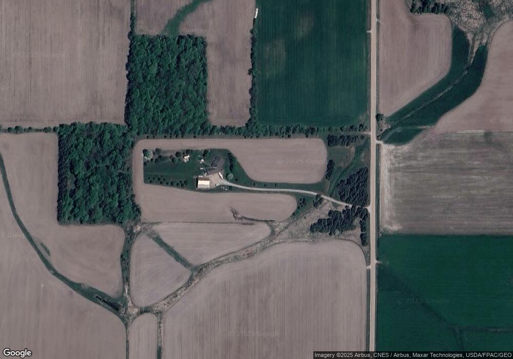
Map
Nearby Homes
- 0 Chickadee Rd Unit 22505635
- 501 S Main St
- 210 S Division St
- 314 N Division St
- 311 W South St
- 309 S West St
- 400 W Mill St
- 508 W South St
- N10160 Sparrow Ave
- N6695 Pelsdorf Ave
- W839 W Rosewood Dr Unit Lot 4
- Lot 10 Woodsview Rd
- 609 E Schofield Ave
- Lot 4 and 5 Fairhaven Ave
- 203 S Crocker Ave
- 311 S Eaton Ave Unit 1-12
- 300 E Division St
- 300 E Miller St
- 815 W Roberts St
- 212 N Main St
- W2966 Chickadee Rd
- W2966 Chickadee Rd
- W2966 Chickadee Rd
- W2858 Chickadee Rd
- W2987 Chickadee Rd
- W3047 Chickadee Rd
- W3047 Chickadee Rd
- N8894 Romadka Ave
- Lot 1 Chickadee Rd
- W2999 Chickadee Rd
- W2999 Chickadee Rd
- W2833 State Highway 98
- W2944 State Highway 98
- W3172 State Highway 98
- Lot 1 & 2 Chickadee Rd
- W2711 Chickadee Rd
- N8972 Robin Ave
- N8972 Robin Ave
- N8972 Robin Ave
- N8750 Pelsdorf Ave