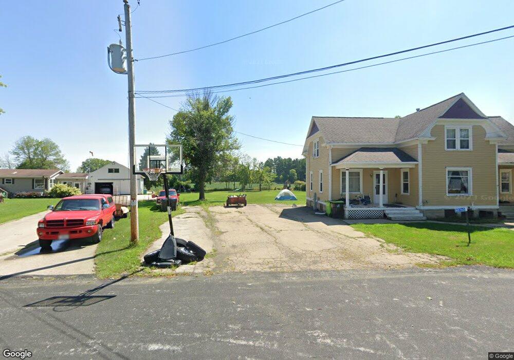
N8760 Randolph St Brillion, WI 54110
Forest Junction NeighborhoodEstimated Value: $149,000 - $278,000
--
Bed
--
Bath
--
Sq Ft
0.42
Acres
About This Home
This home is located at N8760 Randolph St, Brillion, WI 54110 and is currently estimated at $205,322. N8760 Randolph St is a home with nearby schools including Brillion Elementary School, Brillion Middle School, and Brillion High School.
Ownership History
Date
Name
Owned For
Owner Type
Purchase Details
Closed on
Jun 27, 2018
Sold by
Ott Harlan and Ott Stephanie
Bought by
Hinske Michael and Hinske Sara
Current Estimated Value
Home Financials for this Owner
Home Financials are based on the most recent Mortgage that was taken out on this home.
Original Mortgage
$81,987
Outstanding Balance
$71,054
Interest Rate
4.5%
Mortgage Type
FHA
Estimated Equity
$134,268
Purchase Details
Closed on
May 1, 2009
Sold by
Dehaas Bertha
Bought by
Ott Harlan and Ott Stephanie
Create a Home Valuation Report for This Property
The Home Valuation Report is an in-depth analysis detailing your home's value as well as a comparison with similar homes in the area
Home Values in the Area
Average Home Value in this Area
Purchase History
| Date | Buyer | Sale Price | Title Company |
|---|---|---|---|
| Hinske Michael | $83,500 | None Available | |
| Ott Renae | -- | None Available | |
| Ott Harlan | $22,500 | None Available |
Source: Public Records
Mortgage History
| Date | Status | Borrower | Loan Amount |
|---|---|---|---|
| Open | Ott Renae | $81,987 | |
| Closed | Hinske Michael | $81,987 |
Source: Public Records
Tax History Compared to Growth
Tax History
| Year | Tax Paid | Tax Assessment Tax Assessment Total Assessment is a certain percentage of the fair market value that is determined by local assessors to be the total taxable value of land and additions on the property. | Land | Improvement |
|---|---|---|---|---|
| 2024 | -- | $81,600 | $13,900 | $67,700 |
| 2023 | $2,155 | $81,600 | $13,900 | $67,700 |
| 2022 | $2,099 | $81,600 | $13,900 | $67,700 |
| 2021 | $1,942 | $81,600 | $13,900 | $67,700 |
| 2020 | $1,876 | $81,600 | $13,900 | $67,700 |
| 2019 | $1,920 | $71,500 | $9,000 | $62,500 |
| 2018 | $1,834 | $70,300 | $13,500 | $56,800 |
| 2017 | $1,702 | $70,000 | $13,200 | $56,800 |
| 2016 | $1,699 | $70,000 | $13,200 | $56,800 |
| 2015 | $1,760 | $70,000 | $13,200 | $56,800 |
| 2013 | -- | $73,900 | $7,900 | $66,000 |
Source: Public Records
Map
Nearby Homes
- 0 Randolph St Unit 50298814
- N8865 Tiffany Ln
- W2063 Tim Dr
- 310 W Ryan St
- 314 Columbus Ave
- 315 S Glenview Ave
- 600 N Main St
- 422 Fawn Dr
- 406 S Parkway Dr
- 401 S Parkway Dr
- 124 S Custer St
- 219 Cleveland St
- 208 W National Ave
- 230 Bentwood Dr
- 726 S Main St
- 498 Ridgeway Ct
- 232 Macarthur Ave
- 209 Grand Ave
- 486 Rustic Ridge Dr
- 471 Rustic Ridge Dr
- N8760 Randolph St
- N8768 Randolph St
- N8772 Randolph St
- W2071 Harrison St
- W2071 Harrison St
- W2072 Harrison St
- N8782 Randolph St
- N8748 Milwaukee St
- 0 Randolph St Unit 10810954
- 0 Randolph St Unit 50289140
- 0 Randolph St Unit 10810999
- 0 Randolph St Unit 50074422
- N8777 Main St
- N8781 Main St
- N8781 Main St
- N8793 Main St
- N8803 Main St
- N8753 Church St
- N8807 Main St
- N8807 Main St