Estimated Value: $252,000 - $504,000
4
Beds
--
Bath
2,890
Sq Ft
$138/Sq Ft
Est. Value
About This Home
This home is located at N8833 Meridian Ave, Loyal, WI 54446 and is currently estimated at $397,846, approximately $137 per square foot. N8833 Meridian Ave is a home located in Clark County with nearby schools including Loyal Elementary School, Loyal Middle School, and Loyal High School.
Ownership History
Date
Name
Owned For
Owner Type
Purchase Details
Closed on
Jan 9, 2024
Sold by
Orth John T and Orth Ginger L
Bought by
Jgo Income Trust and Orth
Current Estimated Value
Purchase Details
Closed on
Aug 5, 2009
Sold by
Clouse David B and Clouse Judith A
Bought by
Orth John T and Orth Ginger L
Home Financials for this Owner
Home Financials are based on the most recent Mortgage that was taken out on this home.
Original Mortgage
$289,750
Interest Rate
5.29%
Mortgage Type
Purchase Money Mortgage
Create a Home Valuation Report for This Property
The Home Valuation Report is an in-depth analysis detailing your home's value as well as a comparison with similar homes in the area
Purchase History
| Date | Buyer | Sale Price | Title Company |
|---|---|---|---|
| Jgo Income Trust | -- | None Listed On Document | |
| Orth John T | $305,000 | Badger Title Llc |
Source: Public Records
Mortgage History
| Date | Status | Borrower | Loan Amount |
|---|---|---|---|
| Previous Owner | Orth John T | $289,750 |
Source: Public Records
Tax History
| Year | Tax Paid | Tax Assessment Tax Assessment Total Assessment is a certain percentage of the fair market value that is determined by local assessors to be the total taxable value of land and additions on the property. | Land | Improvement |
|---|---|---|---|---|
| 2025 | $6,853 | $350,600 | $17,500 | $333,100 |
| 2024 | $7,010 | $350,600 | $17,500 | $333,100 |
| 2023 | $6,057 | $350,600 | $17,500 | $333,100 |
| 2022 | $5,391 | $350,600 | $17,500 | $333,100 |
| 2021 | $5,477 | $350,600 | $17,500 | $333,100 |
| 2020 | $5,812 | $288,200 | $14,600 | $273,600 |
| 2019 | $5,820 | $288,200 | $14,600 | $273,600 |
| 2018 | $5,744 | $288,200 | $14,600 | $273,600 |
| 2017 | $295 | $288,200 | $14,600 | $273,600 |
| 2016 | $5,729 | $288,200 | $14,600 | $273,600 |
| 2015 | -- | $288,200 | $14,600 | $273,600 |
| 2014 | -- | $288,200 | $14,600 | $273,600 |
| 2013 | -- | $288,200 | $14,600 | $273,600 |
| 2011 | -- | $288,200 | $14,600 | $273,600 |
Source: Public Records
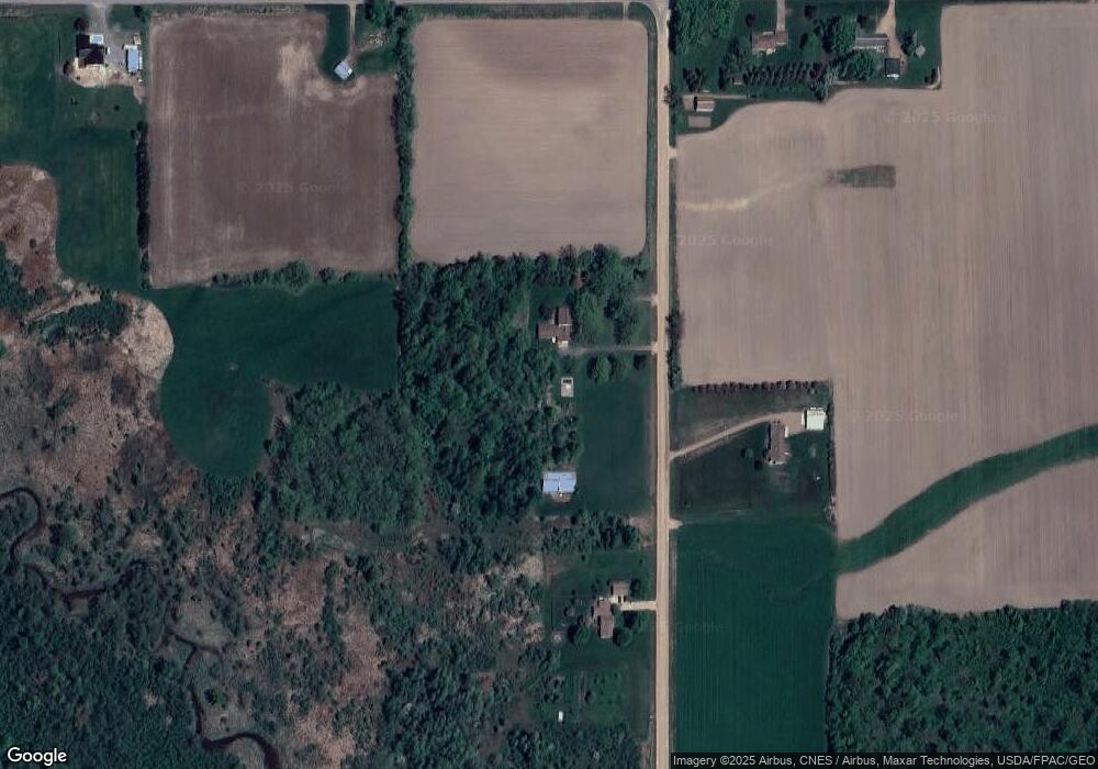
Map
Nearby Homes
- 0 Chickadee Rd Unit 22505635
- 121 N West St
- Lot 4 and 5 Fairhaven Ave
- W839 W Rosewood Dr Unit Lot 4
- W887 W Rosewood Dr Unit Lot 1
- 815 W Roberts St
- 305 W Roberts St
- 0 201 W Dove St Unit 22505694
- 205 W Roberts St
- 203536 Sun Ridge Dr
- 203715 Sun Ridge Dr
- 107 E Wendell St
- 203 Kobs St
- 605 E Maple St
- 803 E Birch St
- N7066 County Road Y Unit Lot 2
- 1102 Grant St Unit 1104
- 609 E Schofield Ave
- 300 E Miller St
- 114 W School St
- N8814 Meridian Ave
- W2459 State Highway 98
- W2459 State Highway 98
- N8781 Meridian Ave
- W2559 State Highway 98
- W2510 State Highway 98
- W2427 State Highway 98
- W2590 State Highway 98
- W2607 State Highway 98
- W2634 State Highway 98
- N8994 Meridian Ave
- W2275 State Highway 98
- N9004 Meridian Ave
- W2262 State Highway 98
- N9051 Meridian Ave
- W2184 State Highway 98
- W2183 State Highway 98
- N9109 Meridian Ave
- W2833 State Highway 98
- N9165 Meridian Ave
Your Personal Tour Guide
Ask me questions while you tour the home.