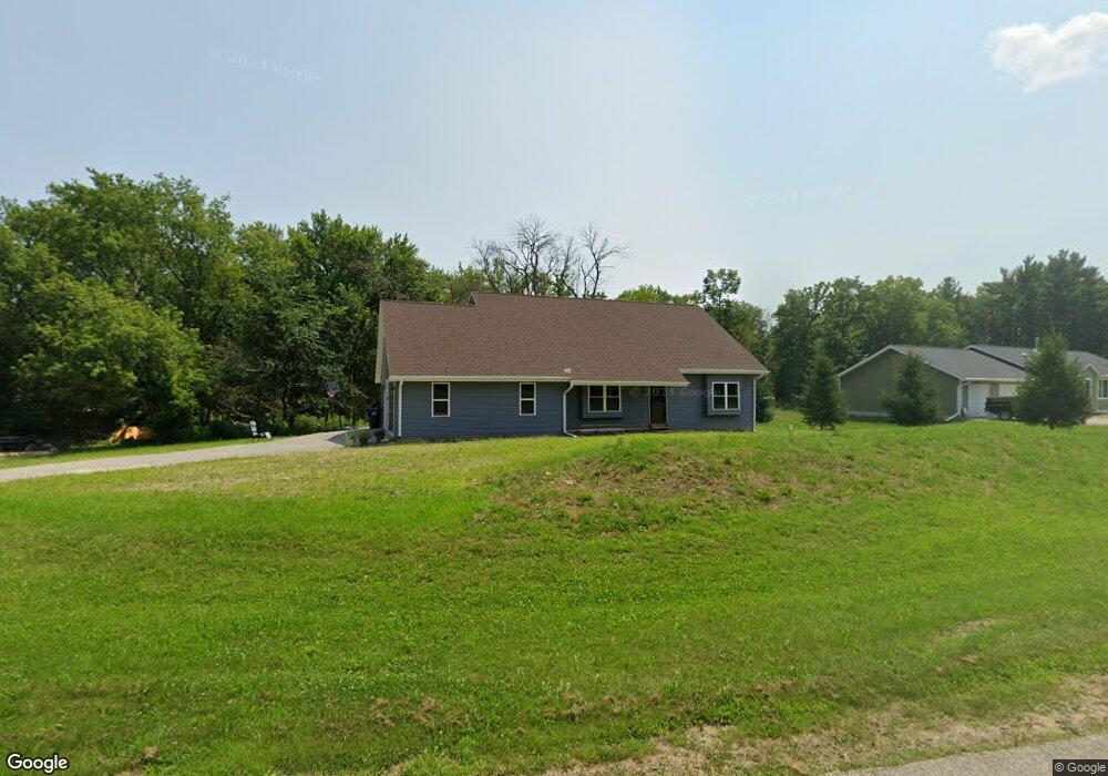
N8990 Michael Ln Watertown, WI 53094
Estimated Value: $373,000 - $581,000
Studio
--
Bath
--
Sq Ft
38,376
Sq Ft Lot
About This Home
This home is located at N8990 Michael Ln, Watertown, WI 53094 and is currently estimated at $483,150. N8990 Michael Ln is a home with nearby schools including Watertown High School, Good Shepherd Lutheran School, and St. Mark's Lutheran School.
Ownership History
Date
Name
Owned For
Owner Type
Purchase Details
Closed on
Dec 21, 2017
Sold by
Maunesha Real Estate Llc
Bought by
Termaart Mason L and Termart Jade A
Current Estimated Value
Home Financials for this Owner
Home Financials are based on the most recent Mortgage that was taken out on this home.
Original Mortgage
$33,200
Outstanding Balance
$27,673
Interest Rate
3.92%
Mortgage Type
New Conventional
Estimated Equity
$455,477
Purchase Details
Closed on
Aug 12, 2009
Sold by
River Road Estate Llc
Bought by
Farmers And Merchants State Bank
Create a Home Valuation Report for This Property
The Home Valuation Report is an in-depth analysis detailing your home's value as well as a comparison with similar homes in the area
Home Values in the Area
Average Home Value in this Area
Purchase History
| Date | Buyer | Sale Price | Title Company |
|---|---|---|---|
| Termaart Mason L | $33,200 | -- | |
| Farmers And Merchants State Bank | $650,000 | None Available |
Source: Public Records
Mortgage History
| Date | Status | Borrower | Loan Amount |
|---|---|---|---|
| Open | Termaart Mason L | $33,200 |
Source: Public Records
Tax History
| Year | Tax Paid | Tax Assessment Tax Assessment Total Assessment is a certain percentage of the fair market value that is determined by local assessors to be the total taxable value of land and additions on the property. | Land | Improvement |
|---|---|---|---|---|
| 2025 | $4,571 | $453,300 | $85,700 | $367,600 |
| 2024 | $4,191 | $453,300 | $85,700 | $367,600 |
| 2023 | $1,537 | $90,700 | $33,200 | $57,500 |
| 2022 | $519 | $33,200 | $33,200 | $0 |
| 2021 | $511 | $33,200 | $33,200 | $0 |
| 2020 | $507 | $33,200 | $33,200 | $0 |
| 2019 | $483 | $33,200 | $33,200 | $0 |
| 2018 | $768 | $55,300 | $55,300 | $0 |
| 2017 | $798 | $55,300 | $55,300 | $0 |
| 2016 | $778 | $55,300 | $55,300 | $0 |
| 2015 | $741 | $55,300 | $55,300 | $0 |
| 2014 | $781 | $62,200 | $62,200 | $0 |
| 2013 | $822 | $62,200 | $62,200 | $0 |
Source: Public Records
Map
Nearby Homes
- N8381 County Road D
- LT3 Rock River Paradise
- 323 Summit Ave
- 1011 Richards Ave
- 911 Harvey Ave
- 915 Carol St
- 124 S Concord Ave
- 1418 S 9th St
- 1633 Carlson Place
- 1149 Boughton St
- 1412 Henry St
- 1303 S 9th St
- 201 N Concord Ave
- N8240 County Rd E
- 412 S 10th St
- 1212 S 3rd St
- 114 N 10th St
- 904 E Main St
- Outlot2 Gateway Dr
- 601 Labaree St
- N8972 Michael Ln
- Lot 9 Michael Ln
- W3047 Matthew Ct
- N8949 Michael Ln
- N8989 Michael Ln
- Lot 1 River Rd
- Lt7 River Rd Rd
- W3053 Matthew Ct
- N8931 Martins Way
- N8939 Martins Way
- Lt15 Michael Ln
- Lot 15 Michael Ln
- N8950 Michael Ln
- W3059 Matthew Ct
- N9021 River Rd
- N8917 Martins Way
- N8913 Martins Way
- N9033 River Rd
- N9027 River Rd
- N8922 Martins Way
Your Personal Tour Guide
Ask me questions while you tour the home.