Estimated Value: $340,000 - $404,991
--
Bed
--
Bath
--
Sq Ft
40
Acres
About This Home
This home is located at N9051 Meridian Ave, Loyal, WI 54446 and is currently estimated at $372,496. N9051 Meridian Ave is a home located in Clark County with nearby schools including Loyal Elementary School, Loyal Middle School, and Loyal High School.
Ownership History
Date
Name
Owned For
Owner Type
Purchase Details
Closed on
Feb 6, 2008
Sold by
Smith Kerry S
Bought by
Smith Kerry S and Smith Jody R
Current Estimated Value
Home Financials for this Owner
Home Financials are based on the most recent Mortgage that was taken out on this home.
Original Mortgage
$172,500
Outstanding Balance
$107,894
Interest Rate
5.9%
Mortgage Type
Purchase Money Mortgage
Estimated Equity
$264,602
Create a Home Valuation Report for This Property
The Home Valuation Report is an in-depth analysis detailing your home's value as well as a comparison with similar homes in the area
Home Values in the Area
Average Home Value in this Area
Purchase History
| Date | Buyer | Sale Price | Title Company |
|---|---|---|---|
| Smith Kerry S | -- | Title Services Of Green Bay |
Source: Public Records
Mortgage History
| Date | Status | Borrower | Loan Amount |
|---|---|---|---|
| Open | Smith Kerry S | $172,500 |
Source: Public Records
Tax History Compared to Growth
Tax History
| Year | Tax Paid | Tax Assessment Tax Assessment Total Assessment is a certain percentage of the fair market value that is determined by local assessors to be the total taxable value of land and additions on the property. | Land | Improvement |
|---|---|---|---|---|
| 2024 | $4,625 | $241,600 | $32,800 | $208,800 |
| 2023 | $3,836 | $228,200 | $32,300 | $195,900 |
| 2022 | $3,420 | $227,500 | $31,600 | $195,900 |
| 2021 | $3,470 | $227,300 | $31,400 | $195,900 |
| 2020 | $3,512 | $178,200 | $24,600 | $153,600 |
| 2019 | $3,503 | $178,100 | $24,500 | $153,600 |
| 2018 | $3,464 | $178,000 | $24,400 | $153,600 |
| 2017 | $492 | $177,900 | $24,300 | $153,600 |
| 2016 | $3,463 | $178,100 | $24,500 | $153,600 |
| 2015 | -- | $178,100 | $24,500 | $153,600 |
| 2014 | -- | $162,700 | $24,900 | $137,800 |
| 2013 | -- | $162,700 | $24,900 | $137,800 |
| 2011 | -- | $162,650 | $24,850 | $137,800 |
Source: Public Records
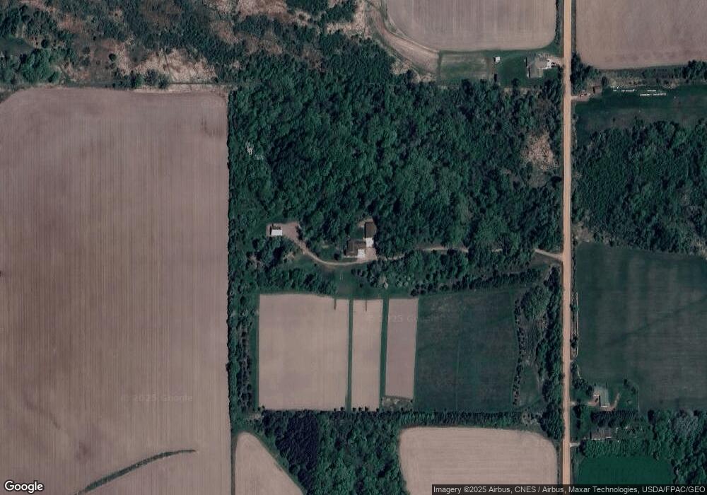
Map
Nearby Homes
- 0 Chickadee Rd Unit 22505635
- 314 N Division St
- 210 S Division St
- 311 W South St
- 501 S Main St
- 400 W Mill St
- 309 S West St
- 508 W South St
- N10160 Sparrow Ave
- Lot 10 Woodsview Rd
- Lot 4 and 5 Fairhaven Ave
- N10409 Hiline Ave
- 0 Hiline Ave Unit 22504296
- 815 W Roberts St
- N6695 Pelsdorf Ave
- W839 W Rosewood Dr Unit Lot 4
- 205 W Clark St
- 0 201 W Dove St Unit 22505694
- 203 W Mill St
- 203 Kobs St
- N9004 Meridian Ave
- N9109 Meridian Ave
- N8994 Meridian Ave
- N9165 Meridian Ave
- W2590 State Highway 98
- W2510 State Highway 98
- W2559 State Highway 98
- W2634 State Highway 98
- W2427 State Highway 98
- W2607 State Highway 98
- W2459 State Highway 98
- W2459 State Highway 98
- N8833 Meridian Ave
- W2262 State Highway 98
- N8814 Meridian Ave
- W2275 State Highway 98
- W2351 Spencer Rd
- N8781 Meridian Ave
- W2626 Spencer Rd
- W2751 Spencer Rd