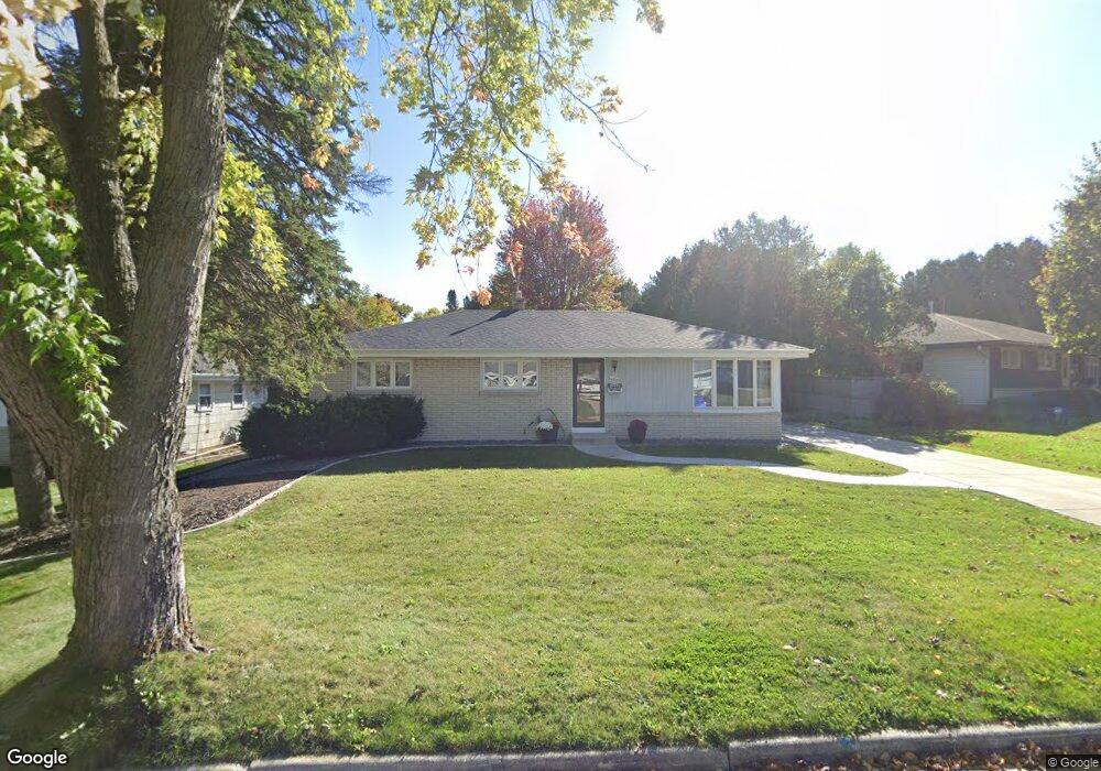
N91W16875 Laurel Ln Menomonee Falls, WI 53051
Estimated Value: $390,000 - $412,875
3
Beds
2
Baths
1,466
Sq Ft
$272/Sq Ft
Est. Value
About This Home
This home is located at N91W16875 Laurel Ln, Menomonee Falls, WI 53051 and is currently estimated at $399,219, approximately $272 per square foot. N91W16875 Laurel Ln is a home located in Waukesha County with nearby schools including Shady Lane Elementary School, North Middle School, and Menomonee Falls High School.
Ownership History
Date
Name
Owned For
Owner Type
Purchase Details
Closed on
Apr 4, 2022
Sold by
Alf Cody D and Alf Amanda K
Bought by
Cody And Amanda Alf Joint Trust
Current Estimated Value
Purchase Details
Closed on
Sep 24, 2019
Sold by
Slotke Lawrence D and Slotke Darlene K
Bought by
Alf Cody D and Gehrmann Amanda K
Home Financials for this Owner
Home Financials are based on the most recent Mortgage that was taken out on this home.
Original Mortgage
$229,600
Interest Rate
3.5%
Mortgage Type
New Conventional
Purchase Details
Closed on
Jun 23, 2000
Sold by
Mcgrew Glenn A and Mcgrew Bonnie R
Bought by
Slotke Lawrence D and Slotke Darlene A
Home Financials for this Owner
Home Financials are based on the most recent Mortgage that was taken out on this home.
Original Mortgage
$150,575
Interest Rate
8.55%
Create a Home Valuation Report for This Property
The Home Valuation Report is an in-depth analysis detailing your home's value as well as a comparison with similar homes in the area
Home Values in the Area
Average Home Value in this Area
Purchase History
| Date | Buyer | Sale Price | Title Company |
|---|---|---|---|
| Cody And Amanda Alf Joint Trust | -- | None Listed On Document | |
| Alf Cody D | $287,000 | None Available | |
| Slotke Lawrence D | $158,500 | -- |
Source: Public Records
Mortgage History
| Date | Status | Borrower | Loan Amount |
|---|---|---|---|
| Previous Owner | Alf Cody D | $229,600 | |
| Previous Owner | Slotke Lawrence D | $150,575 |
Source: Public Records
Tax History Compared to Growth
Tax History
| Year | Tax Paid | Tax Assessment Tax Assessment Total Assessment is a certain percentage of the fair market value that is determined by local assessors to be the total taxable value of land and additions on the property. | Land | Improvement |
|---|---|---|---|---|
| 2024 | $3,590 | $320,100 | $110,200 | $209,900 |
| 2023 | $3,448 | $320,100 | $110,200 | $209,900 |
| 2022 | $3,353 | $210,100 | $76,100 | $134,000 |
| 2021 | $3,207 | $210,100 | $76,100 | $134,000 |
| 2020 | $3,382 | $210,100 | $76,100 | $134,000 |
| 2019 | $3,231 | $210,100 | $76,100 | $134,000 |
| 2018 | $3,385 | $210,100 | $76,100 | $134,000 |
| 2017 | $4,031 | $210,100 | $76,100 | $134,000 |
| 2016 | $3,572 | $210,100 | $76,100 | $134,000 |
| 2015 | $3,584 | $210,100 | $76,100 | $134,000 |
| 2014 | $3,801 | $210,100 | $76,100 | $134,000 |
| 2013 | $3,801 | $210,100 | $76,100 | $134,000 |
Source: Public Records
Map
Nearby Homes
- W166N9108 Grand Ave
- N90W16995 Appleton Ave
- N92W17274 Forest Dr
- N89W16328 Cleveland Ave
- W174N9287 Joper Rd
- W160N8969 Madison Ave
- N86W16387 Appleton Ave
- N94W17842 Appleton Ave
- N88W17690 Christman Rd
- W178N8846 Queensway St
- N88W17868 Christman Rd
- N86W16193 Arthur Ave
- Lt101 Main St
- Lt54 Main St
- Lt8 Main St
- Lt53 Main St
- Lt57 Main St
- Lt13 Main St
- Lt87 Main St
- Lt45 Main St
- N91W16903 Laurel Ln
- N91W16833 Laurel Ln
- 16933 Laurel Ln
- N91W16870 Laurel Ln
- N91W16890 Laurel Ln
- N91W16921 Laurel Ln
- N91W16848 Laurel Ln
- N91W16910 Laurel Ln
- N91W16813 Laurel Ln
- N91W16828 Laurel Ln
- N91W16933 Laurel Ln
- N91W16928 Laurel Ln
- N91W16940 Laurel Ln
- N91W16783 Laurel Ln
- N91W16804 Laurel Ln
- W168N9120 Garden Ave
- W168N9127 Falls Ave
- N92W16863 Roger Ave
- N92W16885 Roger Ave
- N91W16936 Laurel Ln