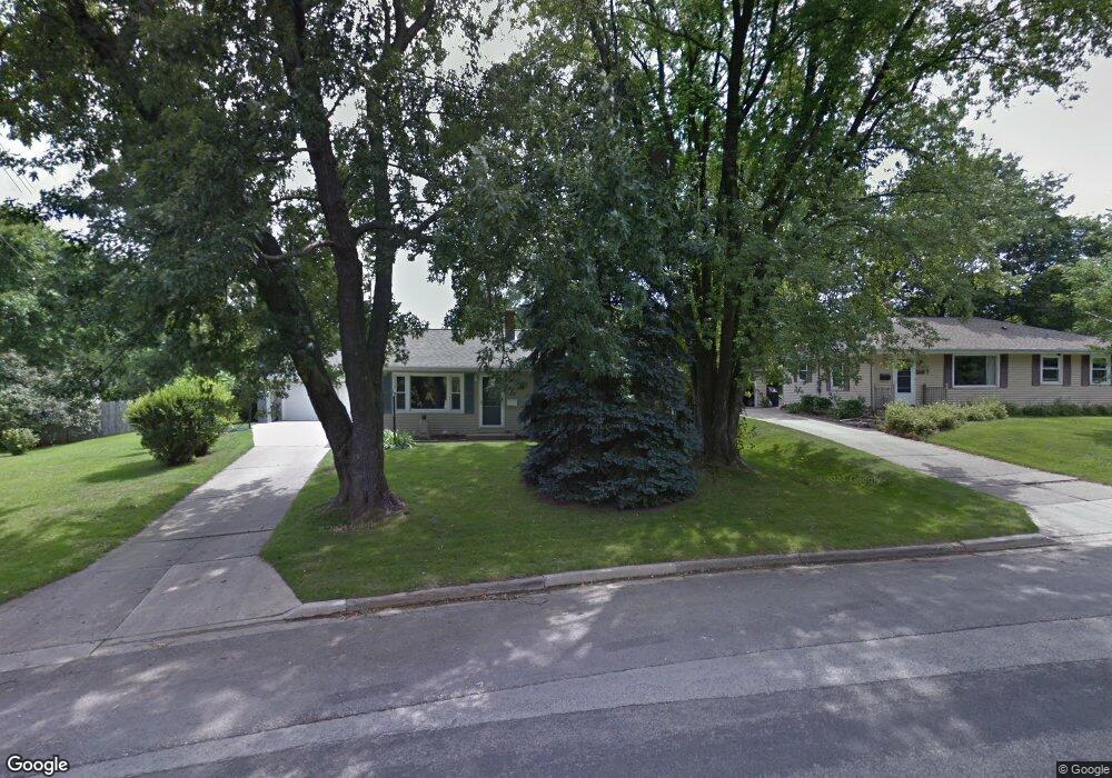
N92W16909 Forest Dr Menomonee Falls, WI 53051
Estimated Value: $328,000 - $346,154
3
Beds
1
Bath
1,040
Sq Ft
$324/Sq Ft
Est. Value
About This Home
This home is located at N92W16909 Forest Dr, Menomonee Falls, WI 53051 and is currently estimated at $337,289, approximately $324 per square foot. N92W16909 Forest Dr is a home located in Waukesha County with nearby schools including Shady Lane Elementary School, North Middle School, and Menomonee Falls High School.
Ownership History
Date
Name
Owned For
Owner Type
Purchase Details
Closed on
Sep 30, 1998
Sold by
Beuscher Leslie
Bought by
Loew Richard M and Loew Kari Ann
Current Estimated Value
Home Financials for this Owner
Home Financials are based on the most recent Mortgage that was taken out on this home.
Original Mortgage
$112,100
Outstanding Balance
$24,289
Interest Rate
6.78%
Estimated Equity
$313,000
Create a Home Valuation Report for This Property
The Home Valuation Report is an in-depth analysis detailing your home's value as well as a comparison with similar homes in the area
Home Values in the Area
Average Home Value in this Area
Purchase History
| Date | Buyer | Sale Price | Title Company |
|---|---|---|---|
| Loew Richard M | $118,000 | -- |
Source: Public Records
Mortgage History
| Date | Status | Borrower | Loan Amount |
|---|---|---|---|
| Open | Loew Richard M | $112,100 |
Source: Public Records
Tax History Compared to Growth
Tax History
| Year | Tax Paid | Tax Assessment Tax Assessment Total Assessment is a certain percentage of the fair market value that is determined by local assessors to be the total taxable value of land and additions on the property. | Land | Improvement |
|---|---|---|---|---|
| 2024 | $2,894 | $259,700 | $105,000 | $154,700 |
| 2023 | $2,774 | $259,700 | $105,000 | $154,700 |
| 2022 | $4,229 | $191,300 | $72,500 | $118,800 |
| 2021 | $3,704 | $191,300 | $72,500 | $118,800 |
| 2020 | $3,820 | $191,300 | $72,500 | $118,800 |
| 2019 | $4,015 | $191,300 | $72,500 | $118,800 |
| 2018 | $3,942 | $191,300 | $72,500 | $118,800 |
| 2017 | $4,020 | $191,300 | $72,500 | $118,800 |
| 2016 | $4,245 | $191,300 | $72,500 | $118,800 |
| 2015 | $4,256 | $191,300 | $72,500 | $118,800 |
| 2014 | $3,473 | $191,300 | $72,500 | $118,800 |
| 2013 | $3,473 | $191,300 | $72,500 | $118,800 |
Source: Public Records
Map
Nearby Homes
- W166N9108 Grand Ave
- N92W17274 Forest Dr
- N90W16995 Appleton Ave
- W174N9287 Joper Rd
- N89W16328 Cleveland Ave
- W160N8969 Madison Ave
- N94W17842 Appleton Ave
- W162N9761 Mayflower Dr
- N88W17690 Christman Rd
- W178N8846 Queensway St
- N86W16387 Appleton Ave
- N88W17868 Christman Rd
- N99W16701 Woodcock Rd
- Lt101 Main St
- Lt54 Main St
- Lt8 Main St
- Lt53 Main St
- Lt57 Main St
- Lt13 Main St
- Lt87 Main St
- N92W16931 Forest Dr
- W168N9257 Grand Ave
- N92W16951 Forest Dr
- N92W16906 Roger Ave
- N92W16971 Forest Dr
- N92W16938 Roger Ave
- N92W16926 Forest Dr
- W168N9269 Grand Ave
- N92W16878 Roger Ave
- N92W16950 Forest Dr
- W168N9289 Grand Ave
- N92W16970 Forest Dr
- W168N9297 Grand Ave
- N92W16948 Roger Ave
- N92W16991 Forest Dr
- W168N9249 Grand Ave
- N92W16970 Roger Ave
- W168N9241 Grand Ave
- N92W16927 Roger Ave
- N92W16907 Roger Ave