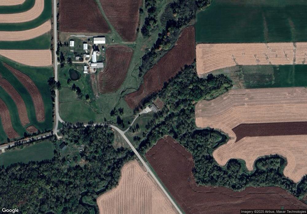
N930 Allen Rd Browntown, WI 53522
Estimated Value: $519,199 - $564,000
--
Bed
--
Bath
--
Sq Ft
9
Acres
About This Home
This home is located at N930 Allen Rd, Browntown, WI 53522 and is currently estimated at $537,733. N930 Allen Rd is a home located in Green County.
Ownership History
Date
Name
Owned For
Owner Type
Purchase Details
Closed on
Oct 25, 2006
Sold by
Wild Ryan S and Wild Jacqueline J
Bought by
Tostrud James O and Tostrud Maureen A
Current Estimated Value
Home Financials for this Owner
Home Financials are based on the most recent Mortgage that was taken out on this home.
Original Mortgage
$62,100
Interest Rate
7%
Mortgage Type
Adjustable Rate Mortgage/ARM
Create a Home Valuation Report for This Property
The Home Valuation Report is an in-depth analysis detailing your home's value as well as a comparison with similar homes in the area
Home Values in the Area
Average Home Value in this Area
Purchase History
| Date | Buyer | Sale Price | Title Company |
|---|---|---|---|
| Tostrud James O | $69,000 | None Available |
Source: Public Records
Mortgage History
| Date | Status | Borrower | Loan Amount |
|---|---|---|---|
| Closed | Tostrud James O | $62,100 |
Source: Public Records
Tax History Compared to Growth
Tax History
| Year | Tax Paid | Tax Assessment Tax Assessment Total Assessment is a certain percentage of the fair market value that is determined by local assessors to be the total taxable value of land and additions on the property. | Land | Improvement |
|---|---|---|---|---|
| 2024 | $5,550 | $266,900 | $47,200 | $219,700 |
| 2023 | $5,697 | $266,900 | $47,200 | $219,700 |
| 2022 | $5,355 | $266,900 | $47,200 | $219,700 |
| 2021 | $4,960 | $266,900 | $47,200 | $219,700 |
| 2020 | $5,160 | $266,900 | $47,200 | $219,700 |
| 2019 | $5,142 | $266,900 | $47,200 | $219,700 |
| 2018 | $5,110 | $266,900 | $47,200 | $219,700 |
| 2017 | $5,249 | $266,900 | $47,200 | $219,700 |
| 2016 | $5,439 | $266,900 | $47,200 | $219,700 |
| 2014 | $5,224 | $266,900 | $47,200 | $219,700 |
Source: Public Records
Map
Nearby Homes
- TBD Miller Rd
- W8940 County Highway B
- W8192 Pilz Rd
- W8194 Pilz Rd
- N2090 Allen Rd
- 000 County Highway M
- N2202 Cadiz Springs Rd
- 360 S Church St
- 240 Carver St
- 204 Carver St
- 430 Hubbard St
- 437 Hubbard St
- 439 Hubbard St
- 12934 N Damascus Rd
- 12150 N Damascus Rd
- N2451 Ullom Rd Unit 20
- W6556 Platinum Dr
- W6430 Patterson Rd
- W6579 Karric Ln
- Lot 1 Alphorn Rd