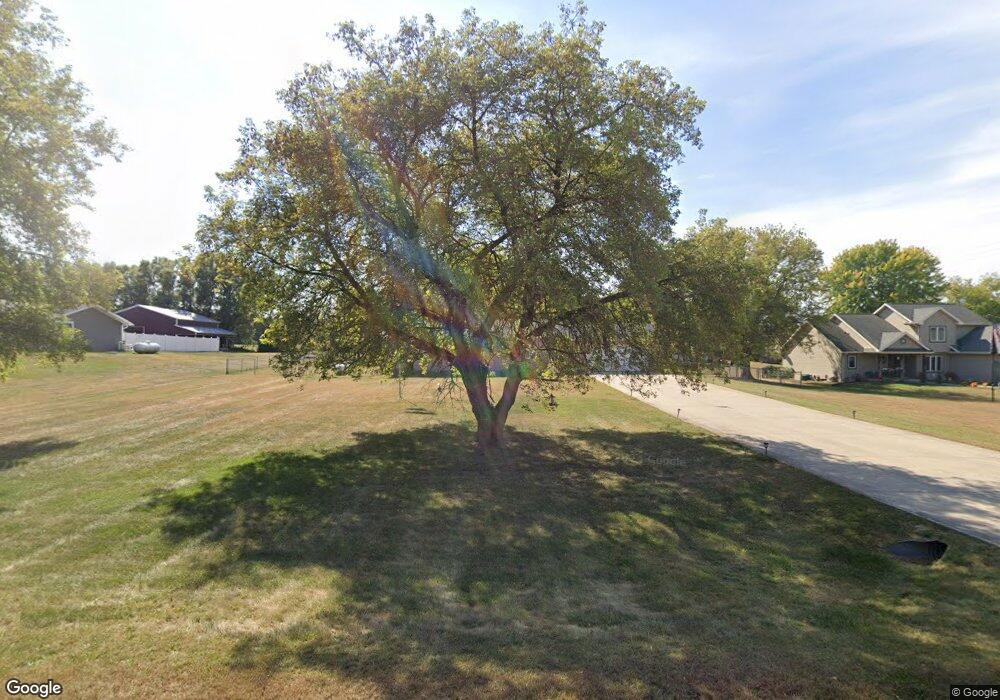
N9341 Knuteson Dr Whitewater, WI 53190
Estimated Value: $374,188 - $466,000
--
Bed
--
Bath
--
Sq Ft
1.07
Acres
About This Home
This home is located at N9341 Knuteson Dr, Whitewater, WI 53190 and is currently estimated at $430,797. N9341 Knuteson Dr is a home located in Walworth County with nearby schools including Whitewater High School and Jedi Virtual K-12.
Ownership History
Date
Name
Owned For
Owner Type
Purchase Details
Closed on
Oct 16, 2018
Sold by
Lozano Vicente and Lozano Mary L
Bought by
Wratten Leo Everett Dwain
Current Estimated Value
Home Financials for this Owner
Home Financials are based on the most recent Mortgage that was taken out on this home.
Original Mortgage
$239,900
Outstanding Balance
$209,652
Interest Rate
4.6%
Mortgage Type
VA
Estimated Equity
$221,145
Create a Home Valuation Report for This Property
The Home Valuation Report is an in-depth analysis detailing your home's value as well as a comparison with similar homes in the area
Home Values in the Area
Average Home Value in this Area
Purchase History
| Date | Buyer | Sale Price | Title Company |
|---|---|---|---|
| Wratten Leo Everett Dwain | $239,900 | Fidelity Land Title Ltd |
Source: Public Records
Mortgage History
| Date | Status | Borrower | Loan Amount |
|---|---|---|---|
| Open | Wratten Leo Everett Dwain | $239,900 |
Source: Public Records
Tax History Compared to Growth
Tax History
| Year | Tax Paid | Tax Assessment Tax Assessment Total Assessment is a certain percentage of the fair market value that is determined by local assessors to be the total taxable value of land and additions on the property. | Land | Improvement |
|---|---|---|---|---|
| 2024 | $2,926 | $203,500 | $41,400 | $162,100 |
| 2023 | $2,900 | $203,500 | $41,400 | $162,100 |
| 2022 | $2,838 | $203,500 | $41,400 | $162,100 |
| 2021 | $3,067 | $203,500 | $41,400 | $162,100 |
| 2020 | $2,929 | $203,500 | $41,400 | $162,100 |
| 2019 | $2,958 | $203,500 | $41,400 | $162,100 |
| 2018 | $2,480 | $157,600 | $41,400 | $116,200 |
| 2017 | $2,447 | $157,600 | $41,400 | $116,200 |
| 2016 | $2,363 | $157,600 | $41,400 | $116,200 |
| 2015 | $2,307 | $157,600 | $41,400 | $116,200 |
| 2014 | $2,649 | $157,600 | $41,400 | $116,200 |
| 2013 | $2,649 | $157,600 | $41,400 | $116,200 |
Source: Public Records
Map
Nearby Homes
- W6098 U S 12
- W1260 S Shore Dr
- W5950 U S 12
- N865 County Road H
- Lt2T Howard Rd
- Lt3 Bluff Rd
- Lt2 Bluff Rd
- Lt1 Bluff Rd
- 455 Howard Rd
- Lt0 Jackson Rd
- 103 Acres Jackson Rd
- 1270 E Jakes Way Unit 6
- Lt1T Innovation Dr
- 1127 Bluff Rd
- 213 N Fourth St
- Lt14 Tripp Lake Estates
- Lt6 Pearson Ct
- Lt1B Universal Blvd
- 227 S 3rd St
- N9171 Nelson Rd
- N9349 Knuteson Dr
- N9329 Knuteson Dr
- 9300 Knuteson Dr
- N9338 Knuteson Dr
- N9323 Knuteson Dr
- N9350 Knuteson Dr
- W6702 Bluff Rd
- W6725 Bluff Rd
- N9330 Knuteson Dr
- W6728 Bluff Rd
- W6716 Bluff Rd
- N9309 Knuteson Dr
- N9318 Knuteson Dr
- W6696 Bluff Rd
- W6740 Bluff Rd
- 6671 Bluff Rd
- W6684 Bluff Rd
- N9301 Knuteson Dr
- W6671 Bluff Rd
- N9308 Knuteson Dr