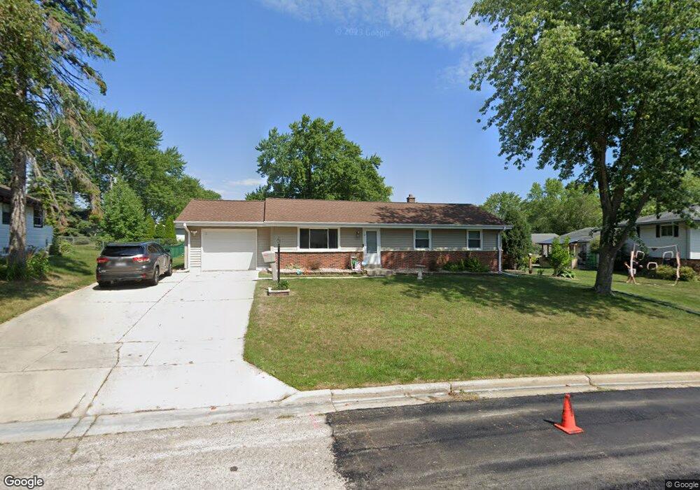
N93W17246 Devonwood Rd Menomonee Falls, WI 53051
Estimated Value: $325,000 - $347,128
3
Beds
2
Baths
1,104
Sq Ft
$307/Sq Ft
Est. Value
About This Home
This home is located at N93W17246 Devonwood Rd, Menomonee Falls, WI 53051 and is currently estimated at $339,282, approximately $307 per square foot. N93W17246 Devonwood Rd is a home located in Waukesha County with nearby schools including Shady Lane Elementary School, North Middle School, and Menomonee Falls High School.
Ownership History
Date
Name
Owned For
Owner Type
Purchase Details
Closed on
Oct 28, 2011
Sold by
Cline Robert P
Bought by
Sobiesczyk Jacob L and Sobiesczyk Molly K
Current Estimated Value
Home Financials for this Owner
Home Financials are based on the most recent Mortgage that was taken out on this home.
Original Mortgage
$136,900
Outstanding Balance
$93,802
Interest Rate
4.12%
Mortgage Type
New Conventional
Estimated Equity
$245,480
Purchase Details
Closed on
Aug 16, 2003
Sold by
Cline Julie P
Bought by
Cline Robert P
Home Financials for this Owner
Home Financials are based on the most recent Mortgage that was taken out on this home.
Original Mortgage
$132,000
Interest Rate
5.47%
Mortgage Type
Purchase Money Mortgage
Create a Home Valuation Report for This Property
The Home Valuation Report is an in-depth analysis detailing your home's value as well as a comparison with similar homes in the area
Home Values in the Area
Average Home Value in this Area
Purchase History
| Date | Buyer | Sale Price | Title Company |
|---|---|---|---|
| Sobiesczyk Jacob L | $146,900 | None Available | |
| Cline Robert P | -- | Wauwatosa Title & Closing Se |
Source: Public Records
Mortgage History
| Date | Status | Borrower | Loan Amount |
|---|---|---|---|
| Open | Sobiesczyk Jacob L | $136,900 | |
| Previous Owner | Cline Robert P | $132,000 | |
| Closed | Cline Robert P | $20,000 |
Source: Public Records
Tax History Compared to Growth
Tax History
| Year | Tax Paid | Tax Assessment Tax Assessment Total Assessment is a certain percentage of the fair market value that is determined by local assessors to be the total taxable value of land and additions on the property. | Land | Improvement |
|---|---|---|---|---|
| 2024 | $3,250 | $290,600 | $96,800 | $193,800 |
| 2023 | $3,119 | $290,600 | $96,800 | $193,800 |
| 2022 | $2,913 | $183,500 | $66,600 | $116,900 |
| 2021 | $2,786 | $183,500 | $66,600 | $116,900 |
| 2020 | $2,944 | $183,500 | $66,600 | $116,900 |
| 2019 | $2,810 | $183,500 | $66,600 | $116,900 |
| 2018 | $2,937 | $183,500 | $66,600 | $116,900 |
| 2017 | $3,053 | $183,500 | $66,600 | $116,900 |
| 2016 | $3,104 | $183,500 | $66,600 | $116,900 |
| 2015 | $3,118 | $183,500 | $66,600 | $116,900 |
| 2014 | $3,328 | $183,500 | $66,600 | $116,900 |
| 2013 | $3,328 | $183,500 | $66,600 | $116,900 |
Source: Public Records
Map
Nearby Homes
- W168N9091 Garden Ave
- N90W16995 Appleton Ave
- N94W17842 Appleton Ave
- N94W16667 Cumberland Rd
- W166N9108 Grand Ave
- N88W17020 Main St
- W163N9517 Cheyenne Dr
- N97W16763 Chippewa Dr
- N88W17690 Christman Rd
- W179N9765 Riversbend Cir W
- N89W16301 Main St Unit D3 (Unit 10)
- W174N9948 Meadow Creek Ct
- W170N9945 Oriole Ct
- N88W17925 Christman Rd
- N100W17560 Whitetail Run
- W184N8808 Duke St
- W158N9751 Broadleaf Ln
- The Neenah Plan at Heritage Park North
- The Madison Plan at Heritage Park North
- The Prescott Plan at Heritage Park North
- W172N9335 Shady Ln
- N93W17229 Devonwood Rd
- N93W17270 Devonwood Rd
- W172N9351 Shady Ln
- N93W17263 Devonwood Rd
- N93W17285 Grand Ave
- N93W17307 Grand Ave
- N93W17261 Grand Ave
- N93W17294 Devonwood Rd
- N93W17329 Grand Ave
- N93W17291 Devonwood Rd
- W172N9295 Shady Ln
- N93W17320 Devonwood Rd
- W172N9312 Shady Ln
- N93W17282 Grand Ave
- W172N9334 Shady Ln
- N93W17351 Grand Ave
- N93W17310 Grand Ave
- W172N9300 Shady Ln
- W172N9365 Shady Ln