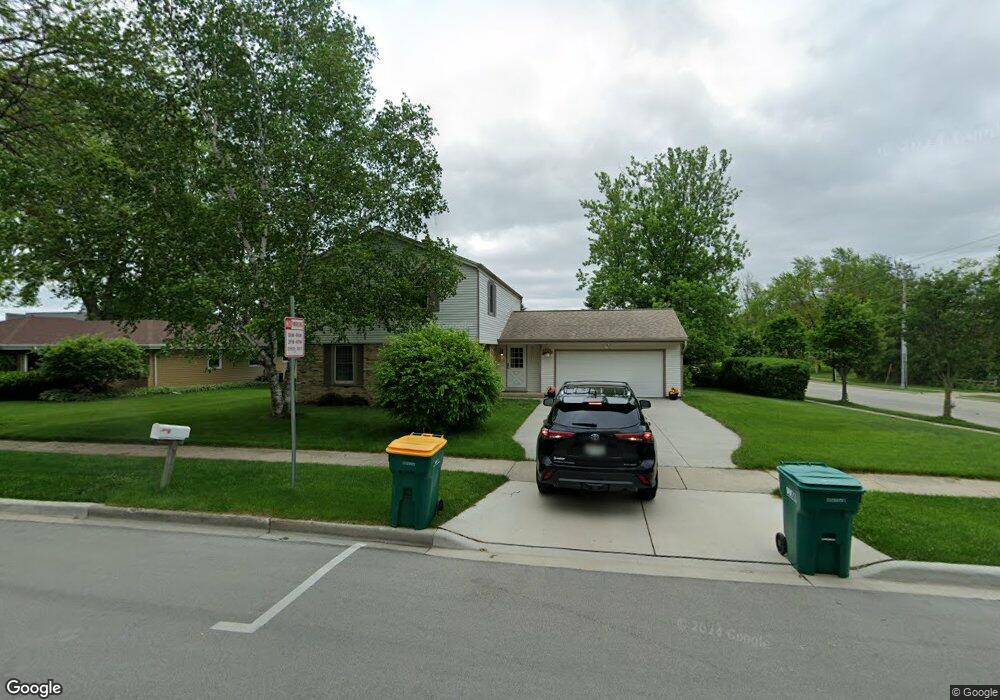
N93W5129 Thornapple Ln Cedarburg, WI 53012
Estimated Value: $431,509 - $562,000
--
Bed
--
Bath
--
Sq Ft
10,803
Sq Ft Lot
About This Home
This home is located at N93W5129 Thornapple Ln, Cedarburg, WI 53012 and is currently estimated at $492,127. N93W5129 Thornapple Ln is a home located in Ozaukee County with nearby schools including Cedarburg High School, St Paul Lutheran School, and St Francis Borgia Catholic School.
Ownership History
Date
Name
Owned For
Owner Type
Purchase Details
Closed on
Dec 8, 2006
Sold by
Fitting Ryan and Commons Jamey
Bought by
Reik Joan Maynard
Current Estimated Value
Home Financials for this Owner
Home Financials are based on the most recent Mortgage that was taken out on this home.
Original Mortgage
$24,650
Interest Rate
6.27%
Mortgage Type
New Conventional
Purchase Details
Closed on
Feb 15, 2006
Sold by
Leicht Robert L
Bought by
Commons Jamey and Fitting Ryan
Home Financials for this Owner
Home Financials are based on the most recent Mortgage that was taken out on this home.
Original Mortgage
$200,000
Interest Rate
6.2%
Mortgage Type
Commercial
Create a Home Valuation Report for This Property
The Home Valuation Report is an in-depth analysis detailing your home's value as well as a comparison with similar homes in the area
Home Values in the Area
Average Home Value in this Area
Purchase History
| Date | Buyer | Sale Price | Title Company |
|---|---|---|---|
| Reik Joan Maynard | $246,500 | None Available | |
| Commons Jamey | $205,000 | None Available |
Source: Public Records
Mortgage History
| Date | Status | Borrower | Loan Amount |
|---|---|---|---|
| Closed | Reik Joan Maynard | $24,650 | |
| Open | Reik Joan Maynard | $197,200 | |
| Previous Owner | Commons Jamey | $200,000 |
Source: Public Records
Tax History Compared to Growth
Tax History
| Year | Tax Paid | Tax Assessment Tax Assessment Total Assessment is a certain percentage of the fair market value that is determined by local assessors to be the total taxable value of land and additions on the property. | Land | Improvement |
|---|---|---|---|---|
| 2024 | $4,761 | $326,200 | $78,500 | $247,700 |
| 2023 | $4,392 | $326,200 | $78,500 | $247,700 |
| 2022 | $4,303 | $326,200 | $78,500 | $247,700 |
| 2021 | $3,947 | $228,000 | $71,400 | $156,600 |
| 2020 | $4,200 | $228,000 | $71,400 | $156,600 |
| 2019 | $4,120 | $228,000 | $71,400 | $156,600 |
| 2018 | $4,063 | $228,000 | $71,400 | $156,600 |
| 2017 | $4,019 | $228,000 | $71,400 | $156,600 |
| 2016 | $4,115 | $228,000 | $71,400 | $156,600 |
| 2015 | $4,005 | $228,000 | $71,400 | $156,600 |
| 2014 | -- | $228,000 | $71,400 | $156,600 |
| 2013 | $4,265 | $228,000 | $71,400 | $156,600 |
Source: Public Records
Map
Nearby Homes
- 331 Juniper Ct
- 1311 Dove Ln
- 1319 Creekside Ct
- 2057 Chateau Ct
- 329 W Bridge St
- 2112 Pine Ridge Ct Unit F
- 2135 Pine Ridge Ct Unit D
- N104W6262 Susan Ln
- 1891 Sumac Ct Unit B
- 171 Maple St
- N105W6300 Brenton Ln
- 1090 Canary Ct
- N105W6431 Stone Lake Cir Unit 32
- 1743 Wisconsin Ave
- 1108 1st Ave
- 1411 6th Ave
- 913 Mary Grace Ct Unit 49
- 940 Mary Grace Ct Unit 46
- N106W6590 Stone Lake Cir Unit 10
- 901 Mary Grace Ct Unit 51
- N93W5103 Thornapple Ln
- N93W5071 Thornapple Ln
- 953 Keup Rd
- W51N933 Keup Rd
- 431 W Thornapple Ln
- N94W5104 Thornapple Ln
- N81W5078 Sandhill Trail
- N94W5072 Thornapple Ln
- 428 W Thornapple Ln
- W51N982 Keup Rd
- 417 W Thornapple Ln
- 933 Keup Rd
- 987 Keup Rd
- 410 W Thornapple Ln
- 403 W Thornapple Ln
- W51N986 Keup Rd
- LT118 W Thornapple Ln
- LT133 W Thornapple Ln
- LT128 W Thornapple Ln
- LT117 W Thornapple Ln