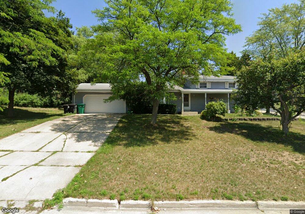
N95W16648 Roanoke Ct Menomonee Falls, WI 53051
Estimated Value: $386,000 - $418,000
4
Beds
2
Baths
1,602
Sq Ft
$249/Sq Ft
Est. Value
About This Home
This home is located at N95W16648 Roanoke Ct, Menomonee Falls, WI 53051 and is currently estimated at $399,456, approximately $249 per square foot. N95W16648 Roanoke Ct is a home located in Waukesha County with nearby schools including Shady Lane Elementary School, North Middle School, and Menomonee Falls High School.
Ownership History
Date
Name
Owned For
Owner Type
Purchase Details
Closed on
Sep 1, 2005
Sold by
Ketterhagen Brian K
Bought by
Thao Chee and Hang Phoua
Current Estimated Value
Home Financials for this Owner
Home Financials are based on the most recent Mortgage that was taken out on this home.
Original Mortgage
$174,250
Outstanding Balance
$93,692
Interest Rate
5.93%
Mortgage Type
Fannie Mae Freddie Mac
Estimated Equity
$305,764
Purchase Details
Closed on
Jul 31, 1998
Sold by
Sammons Fred P and Sammons Marilyn R
Bought by
Ketterhagen Brian K
Home Financials for this Owner
Home Financials are based on the most recent Mortgage that was taken out on this home.
Original Mortgage
$96,000
Interest Rate
7.03%
Create a Home Valuation Report for This Property
The Home Valuation Report is an in-depth analysis detailing your home's value as well as a comparison with similar homes in the area
Home Values in the Area
Average Home Value in this Area
Purchase History
| Date | Buyer | Sale Price | Title Company |
|---|---|---|---|
| Thao Chee | $204,300 | Abstract & Title Company | |
| Ketterhagen Brian K | $126,000 | Priority Title |
Source: Public Records
Mortgage History
| Date | Status | Borrower | Loan Amount |
|---|---|---|---|
| Open | Thao Chee | $174,250 | |
| Previous Owner | Ketterhagen Brian K | $96,000 |
Source: Public Records
Tax History Compared to Growth
Tax History
| Year | Tax Paid | Tax Assessment Tax Assessment Total Assessment is a certain percentage of the fair market value that is determined by local assessors to be the total taxable value of land and additions on the property. | Land | Improvement |
|---|---|---|---|---|
| 2024 | $3,422 | $305,500 | $93,500 | $212,000 |
| 2023 | $3,285 | $305,500 | $93,500 | $212,000 |
| 2022 | $3,103 | $195,000 | $64,300 | $130,700 |
| 2021 | $2,968 | $195,000 | $64,300 | $130,700 |
| 2020 | $3,133 | $195,000 | $64,300 | $130,700 |
| 2019 | $2,992 | $195,000 | $64,300 | $130,700 |
| 2018 | $3,131 | $195,000 | $64,300 | $130,700 |
| 2017 | $3,252 | $195,000 | $64,300 | $130,700 |
| 2016 | $3,306 | $195,000 | $64,300 | $130,700 |
| 2015 | $3,319 | $195,000 | $64,300 | $130,700 |
| 2014 | $3,541 | $195,000 | $64,300 | $130,700 |
| 2013 | $3,541 | $195,000 | $64,300 | $130,700 |
Source: Public Records
Map
Nearby Homes
- N94W16667 Cumberland Rd
- W163N9517 Cheyenne Dr
- N97W16763 Chippewa Dr
- W166N9108 Grand Ave
- W170N9945 Oriole Ct
- W158N9751 Broadleaf Ln
- W168N9091 Garden Ave
- N94W15652 Ridgeview Dr
- W174N9948 Meadow Creek Ct
- N90W16995 Appleton Ave
- The Neenah Plan at Heritage Park North
- The Madison Plan at Heritage Park North
- The Prescott Plan at Heritage Park North
- The Geneva Plan at Heritage Park North
- The Rosebud Plan at Heritage Park North
- The Isabella Plan at Heritage Park North
- The Celina Plan at Heritage Park North
- The Julia Plan at Heritage Park North
- The Charlotte Plan at Heritage Park North
- The Aubrey Plan at Heritage Park North
- N95W16610 Richmond Dr
- N96W16751 County Line Rd
- N95W16590 Richmond Dr
- N95W16669 Roanoke Ct
- N95W16613 Richmond Dr
- N95W16678 Roanoke Ct
- N95W16587 Richmond Dr
- W166N9530 Richmond Dr
- N95W16687 Roanoke Ct
- N95W16695 Roanoke Ct
- N95W16570 Richmond Dr
- N95W16692 Roanoke Ct
- W166N9519 Richmond Dr
- W166N9520 Richmond Dr
- N95W16561 Richmond Dr
- N95W16548 Richmond Dr
- W165N9495 Lexington Dr
- N95W16529 Richmond Dr
- W165N9505 Lexington Dr
- N95W16524 Richmond Dr