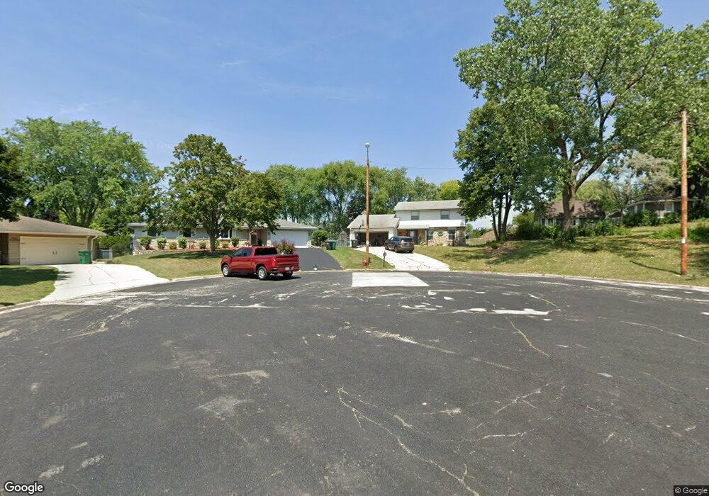
N95W16678 Roanoke Ct Menomonee Falls, WI 53051
Estimated Value: $361,000 - $453,000
4
Beds
2
Baths
1,954
Sq Ft
$207/Sq Ft
Est. Value
About This Home
This home is located at N95W16678 Roanoke Ct, Menomonee Falls, WI 53051 and is currently estimated at $403,863, approximately $206 per square foot. N95W16678 Roanoke Ct is a home located in Waukesha County with nearby schools including Shady Lane Elementary School, North Middle School, and Menomonee Falls High School.
Ownership History
Date
Name
Owned For
Owner Type
Purchase Details
Closed on
Jun 20, 2007
Sold by
Kalajian Richard C and Kalajian Phyllis M
Bought by
Scorsone Michael Anthony and Becker Angie J
Current Estimated Value
Home Financials for this Owner
Home Financials are based on the most recent Mortgage that was taken out on this home.
Original Mortgage
$200,000
Outstanding Balance
$123,896
Interest Rate
6.42%
Mortgage Type
Purchase Money Mortgage
Estimated Equity
$279,967
Create a Home Valuation Report for This Property
The Home Valuation Report is an in-depth analysis detailing your home's value as well as a comparison with similar homes in the area
Home Values in the Area
Average Home Value in this Area
Purchase History
| Date | Buyer | Sale Price | Title Company |
|---|---|---|---|
| Scorsone Michael Anthony | $200,000 | None Available |
Source: Public Records
Mortgage History
| Date | Status | Borrower | Loan Amount |
|---|---|---|---|
| Open | Scorsone Michael Anthony | $200,000 |
Source: Public Records
Tax History Compared to Growth
Tax History
| Year | Tax Paid | Tax Assessment Tax Assessment Total Assessment is a certain percentage of the fair market value that is determined by local assessors to be the total taxable value of land and additions on the property. | Land | Improvement |
|---|---|---|---|---|
| 2024 | $3,984 | $354,300 | $105,800 | $248,500 |
| 2023 | $3,830 | $354,300 | $105,800 | $248,500 |
| 2022 | $3,366 | $210,900 | $72,800 | $138,100 |
| 2021 | $3,220 | $210,900 | $72,800 | $138,100 |
| 2020 | $3,395 | $210,900 | $72,800 | $138,100 |
| 2019 | $3,244 | $210,900 | $72,800 | $138,100 |
| 2018 | $3,399 | $210,900 | $72,800 | $138,100 |
| 2017 | $3,526 | $210,900 | $72,800 | $138,100 |
| 2016 | $3,586 | $210,900 | $72,800 | $138,100 |
| 2015 | $3,598 | $210,900 | $72,800 | $138,100 |
| 2014 | $3,836 | $210,900 | $72,800 | $138,100 |
| 2013 | $3,836 | $210,900 | $72,800 | $138,100 |
Source: Public Records
Map
Nearby Homes
- N99W16701 Woodcock Rd
- N92W17274 Forest Dr
- N98W15894 Concord Rd
- W174N9287 Joper Rd
- W176N9734 Riversbend Cir E
- W176N9746 Riversbend Cir E Unit E
- N90W16995 Appleton Ave
- N94W17842 Appleton Ave
- N101W16795 Gunflint Trail
- N89W16328 Cleveland Ave
- N100W17560 Whitetail Run
- W179N9765 Riversbend Cir W
- N55W20134 Magnolia Ln
- W168N10125 Bittersweet Trail
- W180N9890 Riversbend Cir W
- W154N10077 Moonlite Dr
- W165N10401 Wagon Trail
- Lt101 Main St
- Lt54 Main St
- Lt8 Main St
- N95W16692 Roanoke Ct
- N96W16751 County Line Rd
- N95W16695 Roanoke Ct
- N95W16648 Roanoke Ct
- W167N9580 Cumberland Rd
- W167N9566 Cumberland Rd
- N95W16610 Richmond Dr
- N95W16687 Roanoke Ct
- N95W16669 Roanoke Ct
- N95W16590 Richmond Dr
- W167N9554 Cumberland Rd
- N96W16380 County Line Rd
- W167N9542 Cumberland Rd
- N96W16641 Navajo Dr
- W166N9519 Richmond Dr
- N96W16350 County Line Rd
- W167N9524 Cumberland Rd
- N95W16732 Cumberland Rd
- N96W16651 Navajo Dr
- W167N9555 Cumberland Rd