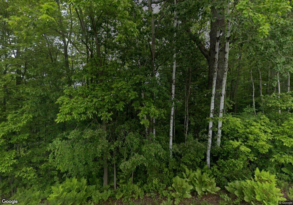
N9680 County Rd W Colfax, WI 54730
Estimated Value: $227,000 - $318,000
--
Bed
--
Bath
--
Sq Ft
10.47
Acres
About This Home
This home is located at N9680 County Rd W, Colfax, WI 54730 and is currently estimated at $285,594. N9680 County Rd W is a home with nearby schools including Colfax Elementary School and Colfax High School.
Ownership History
Date
Name
Owned For
Owner Type
Purchase Details
Closed on
Sep 26, 2023
Sold by
Peterson Richard L
Bought by
Ekblad John David
Current Estimated Value
Purchase Details
Closed on
Jul 9, 2021
Sold by
Peterson Richard L
Bought by
Ekblad John David
Home Financials for this Owner
Home Financials are based on the most recent Mortgage that was taken out on this home.
Interest Rate
2.88%
Purchase Details
Closed on
Jan 11, 2019
Sold by
Hanson Peter P
Bought by
Peterson Richard L
Create a Home Valuation Report for This Property
The Home Valuation Report is an in-depth analysis detailing your home's value as well as a comparison with similar homes in the area
Home Values in the Area
Average Home Value in this Area
Purchase History
| Date | Buyer | Sale Price | Title Company |
|---|---|---|---|
| Ekblad John David | $210,000 | Atty. Jason W. Martell, Wiley | |
| Ekblad John David | $210,000 | -- | |
| Ekblad John David | $210,000 | -- | |
| Peterson Richard L | -- | Westconsin Title Svcs |
Source: Public Records
Mortgage History
| Date | Status | Borrower | Loan Amount |
|---|---|---|---|
| Previous Owner | Ekblad John David | -- |
Source: Public Records
Tax History Compared to Growth
Tax History
| Year | Tax Paid | Tax Assessment Tax Assessment Total Assessment is a certain percentage of the fair market value that is determined by local assessors to be the total taxable value of land and additions on the property. | Land | Improvement |
|---|---|---|---|---|
| 2024 | $2,430 | $211,300 | $104,400 | $106,900 |
| 2023 | $2,422 | $211,300 | $104,400 | $106,900 |
| 2022 | $3,243 | $168,500 | $30,100 | $138,400 |
| 2021 | $983 | $50,600 | $30,100 | $20,500 |
| 2020 | $949 | $50,600 | $30,100 | $20,500 |
| 2019 | $595 | $33,300 | $30,100 | $3,200 |
| 2018 | $578 | $33,300 | $30,100 | $3,200 |
| 2017 | $554 | $33,300 | $30,100 | $3,200 |
| 2016 | $608 | $33,300 | $30,100 | $3,200 |
| 2015 | $591 | $33,300 | $30,100 | $3,200 |
| 2014 | $612 | $33,300 | $30,100 | $3,200 |
| 2013 | $638 | $33,300 | $30,100 | $3,200 |
Source: Public Records
Map
Nearby Homes
- N9285 County Rd W
- N10270 County Road M
- 811 Riverview Ave
- 704 High St
- 804 High St
- 929 High St Unit 1-12
- 701 Balsam St
- 508 Evergreen St
- 306 Dunn St
- 211 Main St
- 118 Dunn St
- 116 Dunn St
- 0 County Road A
- 0 990th Ave
- N8188 954th St
- E7071 1070th Ave
- 10559 20th St
- E8094 770th Ave
- N8722 670th St
- E7246 County Rd S
- N9691 County Rd W
- N9730 County Rd W
- N9787 County Rd W
- N9542 County Rd W
- N9504 County Rd W
- 5745 E 816th Avenue Ave
- Lot 3 950th St
- N100005 Hwy M
- N9525 County Rd W
- 6298 866th Ave
- 0 Hwy Bb Rd Unit 633240
- 0 Hwy Hwy S Unit 329862
- 0 Hwy D Unit 854609
- 0 Hwy Hwy S Unit 831996
- 0 Hwy Bb Rd Unit 609261
- 0 Hwy Hwy S Unit 882249
- 0 Hwy D Unit 904333
- 0 Hwy Bb Rd Unit 1505771
- N9542 Hwy
- N12359 Hwy
