N972 Us Highway 10 S Weyauwega, WI 54983
Estimated Value: $191,000 - $283,000
4
Beds
--
Bath
1,572
Sq Ft
$145/Sq Ft
Est. Value
About This Home
This home is located at N972 Us Highway 10 S, Weyauwega, WI 54983 and is currently estimated at $228,267, approximately $145 per square foot. N972 Us Highway 10 S is a home located in Waupaca County with nearby schools including Weyauwega Elementary School, Weyauwega Middle School, and Weyauwega High School.
Ownership History
Date
Name
Owned For
Owner Type
Purchase Details
Closed on
Jan 22, 2018
Sold by
Barber Greg W
Bought by
Greg W Barber Revocable Trust
Current Estimated Value
Purchase Details
Closed on
Sep 29, 2017
Sold by
Hoger Gloria A
Bought by
Gwb Ventures Llc
Home Financials for this Owner
Home Financials are based on the most recent Mortgage that was taken out on this home.
Original Mortgage
$72,000
Interest Rate
3.86%
Mortgage Type
Commercial
Create a Home Valuation Report for This Property
The Home Valuation Report is an in-depth analysis detailing your home's value as well as a comparison with similar homes in the area
Home Values in the Area
Average Home Value in this Area
Purchase History
| Date | Buyer | Sale Price | Title Company |
|---|---|---|---|
| Greg W Barber Revocable Trust | -- | None Available | |
| Barber Greg W | -- | None Available | |
| Gwb Ventures Llc | $80,000 | None Available |
Source: Public Records
Mortgage History
| Date | Status | Borrower | Loan Amount |
|---|---|---|---|
| Previous Owner | Gwb Ventures Llc | $72,000 |
Source: Public Records
Tax History Compared to Growth
Tax History
| Year | Tax Paid | Tax Assessment Tax Assessment Total Assessment is a certain percentage of the fair market value that is determined by local assessors to be the total taxable value of land and additions on the property. | Land | Improvement |
|---|---|---|---|---|
| 2024 | $2,282 | $112,700 | $10,900 | $101,800 |
| 2023 | $2,282 | $112,700 | $10,900 | $101,800 |
| 2022 | $2,166 | $112,700 | $10,900 | $101,800 |
| 2021 | $2,164 | $112,700 | $10,900 | $101,800 |
| 2020 | $2,192 | $112,700 | $10,900 | $101,800 |
| 2019 | $2,217 | $112,700 | $10,900 | $101,800 |
| 2018 | $2,015 | $112,700 | $10,900 | $101,800 |
| 2017 | $1,949 | $112,700 | $10,900 | $101,800 |
| 2016 | $1,852 | $112,700 | $10,900 | $101,800 |
| 2015 | $1,988 | $112,700 | $10,900 | $101,800 |
| 2014 | $1,990 | $112,700 | $10,900 | $101,800 |
| 2013 | $2,105 | $112,700 | $10,900 | $101,800 |
Source: Public Records
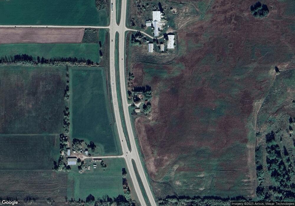
Map
Nearby Homes
- E6041 Evanswood Rd
- N555 Brown Rd
- N459 County Road U
- 0 Hillside Dr Unit 50311949
- 0 Hillside Dr Unit 50308768
- 715 Washington St
- 711 S Mary St
- 0 Wisconsin 49
- 0 Koplien Rd Unit 50309317
- 111 W Parker St
- 110 W Sumner St
- 514 E Main St
- 205 W Main St
- 217 E Main St
- 103 W Main St
- 0 36th Ave
- 134 Tustin Rd
- 212 Tustin Rd
- 109 Doty St
- 201 2nd Ave
- N972 Hwy 10
- W997 W997 Hwy X
- N1026 U S 10
- N1025 Us Highway 10 S
- N1272 County Road U
- N756 Old Highway 49
- N677 Old Hwy 49
- W347 Tri County Rd
- W293 Tri County Rd
- N7069 County Road I
- N7053 County Road I
- N1240 County Road U
- N1196 County Road U
- E5663 Railroad Grade Rd
- E5663 Railroad Grade Rd
- N677 Old Highway 49
- N677 Old Highway 49
- N677 Old Highway 49
- E6102 Railroad Grade Rd
- N675 Old Highway 49