--
Bed
--
Bath
--
Sq Ft
40.02
Acres
About This Home
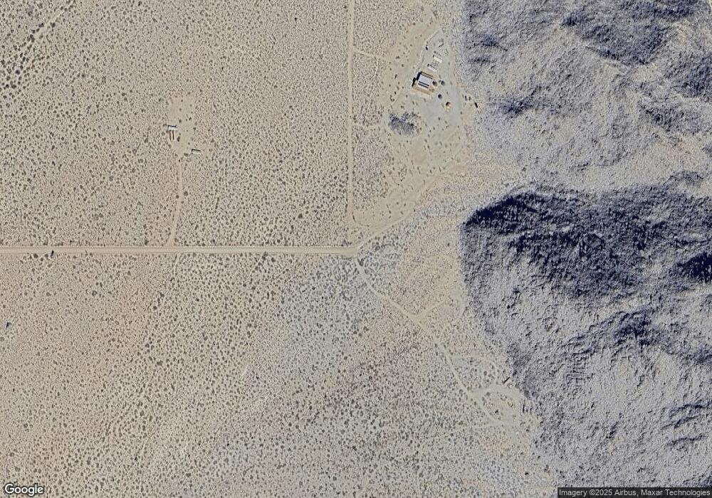
This home is located at Par 3553 E Cicio Rd, Yucca, AZ 86438. Par 3553 E Cicio Rd is a home located in Mohave County with nearby schools including Yucca Elementary School.
Ownership History
Date
Name
Owned For
Owner Type
Purchase Details
Closed on
Nov 15, 2023
Sold by
Brown & Brown Law Offices Pc Profit Shar
Bought by
Westergaard Robert James and Westergaard Kimberly Marie
Purchase Details
Closed on
Jul 18, 2023
Sold by
Treasurer Of Mohave County
Bought by
Brown & Brown Law Offices Pc Profit Sharing P and Brown
Purchase Details
Closed on
Feb 23, 2011
Sold by
Suhar Andrew W
Bought by
Commercial Financial Corporation
Purchase Details
Closed on
Jul 25, 2006
Sold by
Brautovich Bonnie
Bought by
Vanderwall Linda
Purchase Details
Closed on
Jan 26, 2002
Sold by
First American Title Insurance Company
Bought by
Brautovich Thomas A and Brautovich Bonnie
Create a Home Valuation Report for This Property
The Home Valuation Report is an in-depth analysis detailing your home's value as well as a comparison with similar homes in the area
Home Values in the Area
Average Home Value in this Area
Purchase History
| Date | Buyer | Sale Price | Title Company |
|---|---|---|---|
| Westergaard Robert James | $21,000 | Title Service And Escrow Compa | |
| Brown & Brown Law Offices Pc Profit Sharing P | -- | None Listed On Document | |
| Commercial Financial Corporation | -- | None Available | |
| Vanderwall Linda | -- | None Available | |
| Brautovich Bonnie | -- | None Available | |
| Brautovich Thomas A | -- | First American Title |
Source: Public Records
Tax History Compared to Growth
Tax History
| Year | Tax Paid | Tax Assessment Tax Assessment Total Assessment is a certain percentage of the fair market value that is determined by local assessors to be the total taxable value of land and additions on the property. | Land | Improvement |
|---|---|---|---|---|
| 2026 | -- | -- | -- | -- |
| 2025 | $189 | $4,493 | $0 | $0 |
| 2024 | $189 | $5,055 | $0 | $0 |
| 2023 | $189 | $3,841 | $0 | $0 |
| 2022 | $159 | $3,694 | $0 | $0 |
| 2021 | $173 | $3,552 | $0 | $0 |
| 2019 | $156 | $1,924 | $0 | $0 |
| 2018 | $175 | $2,138 | $0 | $0 |
| 2017 | $169 | $2,138 | $0 | $0 |
| 2016 | $174 | $2,056 | $0 | $0 |
| 2015 | $237 | $2,824 | $0 | $0 |
Source: Public Records
Map
Nearby Homes
- 00 S Billy the Kid
- 2328 S Tom Mix Rd
- Parcel 439 S Tom Mix Rd
- 3437 E Cowboy Dr
- 3436 E Cowboy Dr
- 3245 E Flattop Dr
- 3607 S Kit Carson Rd
- 3501 S Wild Bill Rd
- 812 Stagecoach Trail
- 17404 S Billy the Kid Rd Unit 2770
- 14176 S Nash Dr
- 14167 Nash Rd Unit 13/30
- 17404 S Jesse James Rd
- Lot 135 E Mission
- Lot 135 E Mission Rd Unit 13/8
- 17277 S Wyatt Earp Rd
- 0 E Hondo
- TBD E Hondo Dr Unit 13/10
- 13950 S Howard Rd
- 15333 S Doc Holliday Rd
