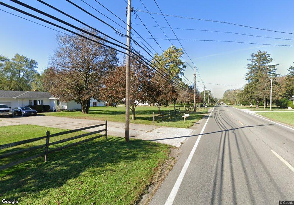
Parcel A Hubbard Rd Madison, OH 44057
Estimated Value: $607,332
--
Bed
--
Bath
--
Sq Ft
21
Acres
About This Home
This home is located at Parcel A Hubbard Rd, Madison, OH 44057 and is currently estimated at $607,332. Parcel A Hubbard Rd is a home located in Lake County with nearby schools including North Elementary School, Madison Middle School, and Madison High School.
Ownership History
Date
Name
Owned For
Owner Type
Purchase Details
Closed on
Jun 30, 2021
Sold by
Philo T Photon Llc
Bought by
Philo T Photon Llc
Current Estimated Value
Home Financials for this Owner
Home Financials are based on the most recent Mortgage that was taken out on this home.
Original Mortgage
$1,159,480
Outstanding Balance
$1,053,011
Interest Rate
2.96%
Mortgage Type
New Conventional
Estimated Equity
-$445,679
Purchase Details
Closed on
Jul 3, 2001
Sold by
Goldring Lubin Inc
Bought by
Philo T Photon Llc
Purchase Details
Closed on
Jan 1, 1990
Bought by
Goldrin Lubin Inc
Create a Home Valuation Report for This Property
The Home Valuation Report is an in-depth analysis detailing your home's value as well as a comparison with similar homes in the area
Home Values in the Area
Average Home Value in this Area
Purchase History
| Date | Buyer | Sale Price | Title Company |
|---|---|---|---|
| Philo T Photon Llc | $12,500 | Fisher Rebekah E | |
| Madison Bts Retail Llc | $640 | None Listed On Document | |
| Philo T Photon Llc | -- | None Available | |
| Philo T Photon Llc | $475,000 | Conway Land Title Company | |
| Goldrin Lubin Inc | -- | -- |
Source: Public Records
Mortgage History
| Date | Status | Borrower | Loan Amount |
|---|---|---|---|
| Open | Madison Bts Retail Llc | $1,159,480 |
Source: Public Records
Tax History Compared to Growth
Tax History
| Year | Tax Paid | Tax Assessment Tax Assessment Total Assessment is a certain percentage of the fair market value that is determined by local assessors to be the total taxable value of land and additions on the property. | Land | Improvement |
|---|---|---|---|---|
| 2024 | -- | $54,710 | $54,710 | -- |
| 2023 | $9,881 | $88,900 | $88,900 | $0 |
| 2022 | $5,502 | $88,900 | $88,900 | $0 |
| 2021 | $5,669 | $91,440 | $91,440 | $0 |
| 2020 | $5,995 | $78,830 | $78,830 | $0 |
| 2019 | $5,999 | $78,830 | $78,830 | $0 |
| 2018 | $5,932 | $78,830 | $78,830 | $0 |
| 2017 | $6,029 | $78,830 | $78,830 | $0 |
| 2016 | $5,532 | $78,830 | $78,830 | $0 |
| 2015 | $5,360 | $78,830 | $78,830 | $0 |
| 2014 | $5,486 | $78,830 | $78,830 | $0 |
| 2013 | $5,498 | $78,830 | $78,830 | $0 |
Source: Public Records
Map
Nearby Homes
- 1826 Hubbard Rd
- V/L Magnolia #11 Dr
- V/L Magnolia #23 Dr
- V/L Magnolia #21 Dr
- V/L Magnolia #20 Dr
- V/L Magnolia #19 Dr
- V/L Magnolia #18 Dr
- V/L Magnolia #17 Dr
- V/L Magnolia #16 Dr
- 0 Indianola
- V/L Magnolia #15 Dr
- V/L Magnolia #14 Dr
- V/L Magnolia #13 Dr
- V/L Magnolia #12 Dr
- 1548 Rosena Ave
- 1500 Easton Ave
- 1445 Hubbard Rd
- 1934 Whitewood Dr
- 1450 Davista Ave
- 1628 Red Bird Rd
- 1733 Hubbard Rd
- 1702 Hubbard Rd
- Parcel C Hubbard Rd
- 6501 Bayside Dr Unit 14
- 6505 Bayside Dr Unit 13
- 6509 Bayside Dr Unit 12
- 6513 Bayside Dr Unit 11
- 1684 Hubbard Rd
- V/L Magnolia #9 Dr
- 6503 Bayside Dr Unit 15
- 6700 Bayside Dr Unit 1
- 6507 Bayside Dr Unit 16
- 6511 Bayside Dr
- 6704 Bayside Dr
- 6515 Bayside Dr Unit 18
- 6702 Bayside Dr Unit 10
- 6517 Bayside Dr Unit 36
- 6708 Bayside Dr
- 6525 Bayside Dr
- 6706 Bayside Dr Unit 9