Parcel D Brooks Meadow Dr Columbia Township, MI 49230
Estimated Value: $56,000 - $66,000
--
Bed
--
Bath
--
Sq Ft
11.22
Acres
About This Home
This home is located at Parcel D Brooks Meadow Dr, Columbia Township, MI 49230 and is currently estimated at $61,000. Parcel D Brooks Meadow Dr is a home located in Jackson County with nearby schools including Columbia Lower Elementary School, Columbia Upper Elementary School, and Columbia Central Jr./Sr. High School.
Ownership History
Date
Name
Owned For
Owner Type
Purchase Details
Closed on
Jan 20, 2014
Sold by
Ostrowski Chris T and Ostrowski Mary K
Bought by
Mazeh Youssef and Mazeh Amal A
Current Estimated Value
Purchase Details
Closed on
Nov 15, 2011
Sold by
Worster Susanne Niles and Lockwood Casey Suzanne
Bought by
Ostrowski Chris T and Ostrowski Mary K
Purchase Details
Closed on
Jan 11, 2002
Sold by
Bradish James M and Bradish Dawn N
Bought by
Lockwood Casey Suzanne
Create a Home Valuation Report for This Property
The Home Valuation Report is an in-depth analysis detailing your home's value as well as a comparison with similar homes in the area
Home Values in the Area
Average Home Value in this Area
Purchase History
| Date | Buyer | Sale Price | Title Company |
|---|---|---|---|
| Mazeh Youssef | $40,000 | Prestige Title Insurance Age | |
| Ostrowski Chris T | $22,900 | None Available | |
| Lockwood Casey Suzanne | $65,000 | Metropolitan Title Company | |
| Bradish James M | $59,000 | Metropolitan Title Company |
Source: Public Records
Tax History Compared to Growth
Tax History
| Year | Tax Paid | Tax Assessment Tax Assessment Total Assessment is a certain percentage of the fair market value that is determined by local assessors to be the total taxable value of land and additions on the property. | Land | Improvement |
|---|---|---|---|---|
| 2025 | $1,261 | $28,800 | $0 | $0 |
| 2024 | $991 | $28,800 | $0 | $0 |
| 2023 | $944 | $28,800 | $0 | $0 |
| 2022 | $1,144 | $24,700 | $0 | $0 |
| 2021 | $1,121 | $24,700 | $0 | $0 |
| 2020 | $1,108 | $22,900 | $0 | $0 |
| 2019 | $1,152 | $23,900 | $0 | $0 |
| 2018 | $1,141 | $25,800 | $0 | $0 |
| 2017 | $1,095 | $24,600 | $0 | $0 |
| 2016 | $872 | $24,600 | $24,600 | $0 |
| 2015 | $1,097 | $22,900 | $22,900 | $0 |
| 2014 | $1,097 | $24,400 | $0 | $0 |
| 2013 | -- | $24,400 | $24,400 | $0 |
Source: Public Records
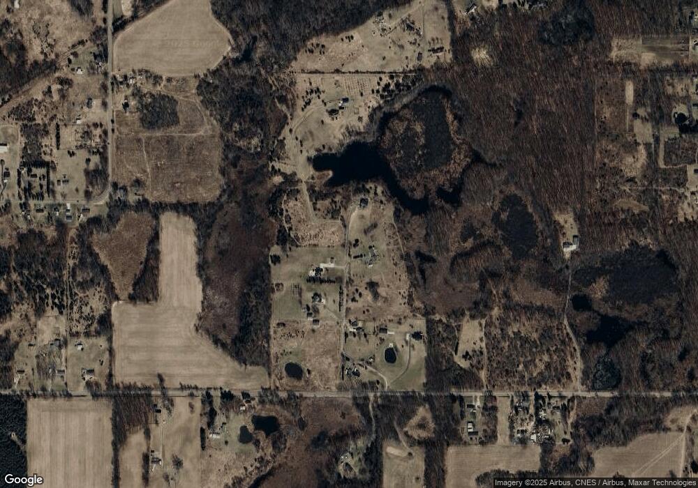
Map
Nearby Homes
- 6977 Cement City Rd
- 1268 Maple Ln
- 227 Riviera Dr
- 6416 Kelley Rd
- 99 Nottingham Dr
- 15255 Wheaton Rd
- 215 Nottingham Dr
- 0 Lot 44 & 45 Wilkshire Dr Unit 25044305
- 200 Barbara Dr
- VL Kirkley Dr
- 12938 Kelley Rd
- 104 High View Ct
- 00 Ambler Dr
- 207 Ambler Dr
- 320 Nottingham Dr
- 7943 Cement City Rd
- 123 Carlysle Dr
- 126 E Princess Dr
- VL Carlysle Dr
- 000 Hewitt Rd
- 0 Brooks Meadow Dr
- 12700 Brooks Meadow Dr
- 12725 Brooks Meadow Dr
- 12600 Brooks Meadow Dr
- 12749 Brooks Meadow Dr
- 12800 Brooks Meadow Dr
- 14633 Taylor Rd
- 14633 Taylor Rd Unit TAYLOR
- 12550 Brooks Meadow Dr
- 14640 Taylor Rd
- 14640 Taylor Rd
- 14640 Taylor Rd
- 14640 Taylor Rd
- 14640 Taylor Rd Unit 14640 Brooks Meadow
- 14640 Taylor Rd Unit 14640,14640 Brooks M
- 14328 Taylor Rd
- 14803 County Line Rd
- 14307 Taylor Rd
- 14309 Taylor Rd
- 14331 Taylor Rd