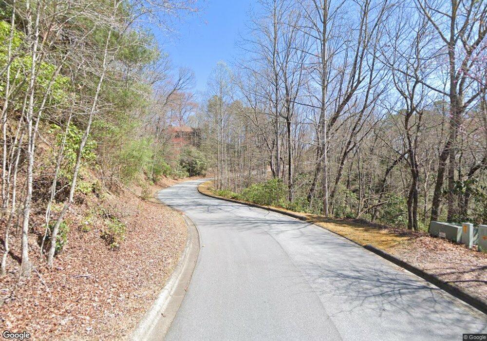
Parcel D Stone Dr Unit D Brevard, NC 28712
Estimated Value: $3,128,000
--
Bed
--
Bath
--
Sq Ft
16
Acres
About This Home
This home is located at Parcel D Stone Dr Unit D, Brevard, NC 28712 and is currently estimated at $3,128,000. Parcel D Stone Dr Unit D is a home located in Transylvania County with nearby schools including Brevard Academy and Mountain Sun Community School.
Ownership History
Date
Name
Owned For
Owner Type
Purchase Details
Closed on
Nov 10, 2022
Sold by
Deer Lake Estates Llc
Bought by
Mcguinness James Robert and Mcguinness Doris Bajak
Current Estimated Value
Purchase Details
Closed on
Nov 7, 2022
Sold by
Burrell William Montgomery and Burrell Juanelle
Bought by
Swaggert Katherine L
Purchase Details
Closed on
Jun 27, 2011
Sold by
Chimney Creek Partners Llc
Bought by
Deer Lake Estates Llc
Create a Home Valuation Report for This Property
The Home Valuation Report is an in-depth analysis detailing your home's value as well as a comparison with similar homes in the area
Home Values in the Area
Average Home Value in this Area
Purchase History
| Date | Buyer | Sale Price | Title Company |
|---|---|---|---|
| Mcguinness James Robert | $525,000 | -- | |
| Mcguinness James Robert | $525,000 | None Listed On Document | |
| Swaggert Katherine L | $400,000 | -- | |
| Swaggert Katherine L | $400,000 | None Listed On Document | |
| Deer Lake Estates Llc | $405,000 | None Available |
Source: Public Records
Tax History Compared to Growth
Tax History
| Year | Tax Paid | Tax Assessment Tax Assessment Total Assessment is a certain percentage of the fair market value that is determined by local assessors to be the total taxable value of land and additions on the property. | Land | Improvement |
|---|---|---|---|---|
| 2025 | $2,250 | $548,080 | $548,080 | $0 |
| 2024 | $3,908 | $647,820 | $647,820 | $0 |
| 2023 | $3,908 | $647,820 | $647,820 | $0 |
| 2022 | $3,908 | $647,820 | $647,820 | $0 |
| 2021 | $3,908 | $647,820 | $647,820 | $0 |
| 2020 | $4,880 | $767,310 | $0 | $0 |
| 2019 | $4,880 | $767,310 | $0 | $0 |
| 2018 | $7,834 | $767,310 | $0 | $0 |
| 2017 | $7,719 | $767,310 | $0 | $0 |
| 2016 | $7,604 | $767,310 | $0 | $0 |
| 2015 | $10,957 | $847,610 | $847,610 | $0 |
| 2014 | $10,957 | $847,610 | $847,610 | $0 |
Source: Public Records
Map
Nearby Homes
- M92 Pine Mountain Trail Unit M92
- TBD Pine Mountain Trail
- TBD Pine Mountain Trail Unit M8 & M9
- TBD Pine Mountain Trail Unit M9
- TBD Pine Mountain Trail Unit M8
- TBD Pine Mountain Trail Unit M79
- Lot M6 Pine Mountain Trail Unit M6
- Lot M9 Pine Mountain Trail
- 99999 Pine Mountain Trail Unit M37
- M12R Elk Mountain Trail Unit M12R
- L12R Trailside Ct
- 54 Wintergreen Dr
- 111 Wintergreen Dr
- TBD Trailside Ct
- 132 Fox Cross Dr
- 900 Bud Siniard Rd
- V30 Blueberry Hill Rd
- TBD Camptown Rd Unit M139
- 73 Ridgetop Cir Unit 303
- 23 Eagle Run
- 1000 Water Tank Rd Unit Parcel A & B
- M94 Hawks Crest Unit M94
- Parcel A Stone Dr Unit A
- M93 Hawks Crest Unit M93
- Parcel C Stone Dr Unit Parcel C
- 376 Camptown Rd Rd
- 1319 Pine Mountain Trail
- 153 High Vista Way
- 1157 Pine Mountain Trail
- 500 Stone Dr
- 122 High Vista Way
- 100 Water Tank Rd
- Lot 11 Stone Dr
- 314 Stone Dr
- 298 Stone Dr
- Lot M8 Pine Mountain Trail
- 437 Allison Creek Trail
- Lot 13 Stone Dr
- M5 Pine Mountain Trail
- 309 Stone Dr
