Rr 2 Colfax, IL 61728
Studio
--
Bath
--
Sq Ft
3,484,800
Sq Ft Lot
About This Home
This home is located at Rr 2, Colfax, IL 61728. Rr 2 is a home located in McLean County with nearby schools including Ridgeview Elementary School and Ridgeview High School.
Ownership History
Date
Name
Owned For
Owner Type
Purchase Details
Closed on
Dec 19, 2016
Sold by
Kelly Jo Ann and Netherton Connie S
Bought by
Petersen Kent and Mcnamara Kelsey
Home Financials for this Owner
Home Financials are based on the most recent Mortgage that was taken out on this home.
Original Mortgage
$384,000
Outstanding Balance
$314,026
Interest Rate
3.94%
Mortgage Type
Commercial
Purchase Details
Closed on
Dec 18, 2016
Sold by
Mcnamara Kesley Y
Bought by
Petersen Kent J
Home Financials for this Owner
Home Financials are based on the most recent Mortgage that was taken out on this home.
Original Mortgage
$384,000
Outstanding Balance
$314,026
Interest Rate
3.94%
Mortgage Type
Commercial
Create a Home Valuation Report for This Property
The Home Valuation Report is an in-depth analysis detailing your home's value as well as a comparison with similar homes in the area
Purchase History
| Date | Buyer | Sale Price | Title Company |
|---|---|---|---|
| Petersen Kent | $760,000 | Mclean County Title | |
| Petersen Kent J | -- | Mclean County Title |
Source: Public Records
Mortgage History
| Date | Status | Borrower | Loan Amount |
|---|---|---|---|
| Open | Petersen Kent | $384,000 | |
| Open | Petersen Kent J | $960,000 |
Source: Public Records
Tax History
| Year | Tax Paid | Tax Assessment Tax Assessment Total Assessment is a certain percentage of the fair market value that is determined by local assessors to be the total taxable value of land and additions on the property. | Land | Improvement |
|---|---|---|---|---|
| 2024 | $3,629 | $50,751 | $50,751 | -- |
| 2022 | $3,629 | $43,779 | $43,779 | $0 |
| 2021 | $3,362 | $40,759 | $40,759 | $0 |
| 2020 | $3,209 | $38,016 | $38,016 | $0 |
| 2019 | $3,178 | $35,521 | $35,521 | $0 |
| 2018 | $2,896 | $35,521 | $35,521 | $0 |
| 2017 | $2,695 | $33,253 | $33,253 | $0 |
| 2016 | $2,528 | $31,191 | $31,191 | $0 |
| 2015 | $2,569 | $31,367 | $29,297 | $2,070 |
| 2014 | $2,400 | $28,464 | $26,394 | $2,070 |
| 2013 | -- | $26,065 | $23,995 | $2,070 |
Source: Public Records
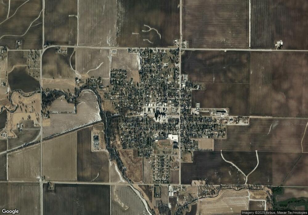
Map
Nearby Homes
- 104 W North St
- 302 S Walnut St
- 306 E Cooper St
- 305 S Harrison St
- 417 Sunset Dr
- 77 Acre Plot Off E 2150 Rd N
- 21389 N 2875 East Rd
- 202 W Angela Cir
- Lots 3&4 Allison Rd
- 202 E Angela Cir
- 201 E Angela Cir
- 201 W Angela Cir
- 128 Allison Rd
- 200 E South St
- 37322 Comanche Dr
- 301 W Oak St
- 401 N Main St
- 109 S Main St
- 114 E Lincoln St
- 402 S Washington St
Your Personal Tour Guide
Ask me questions while you tour the home.