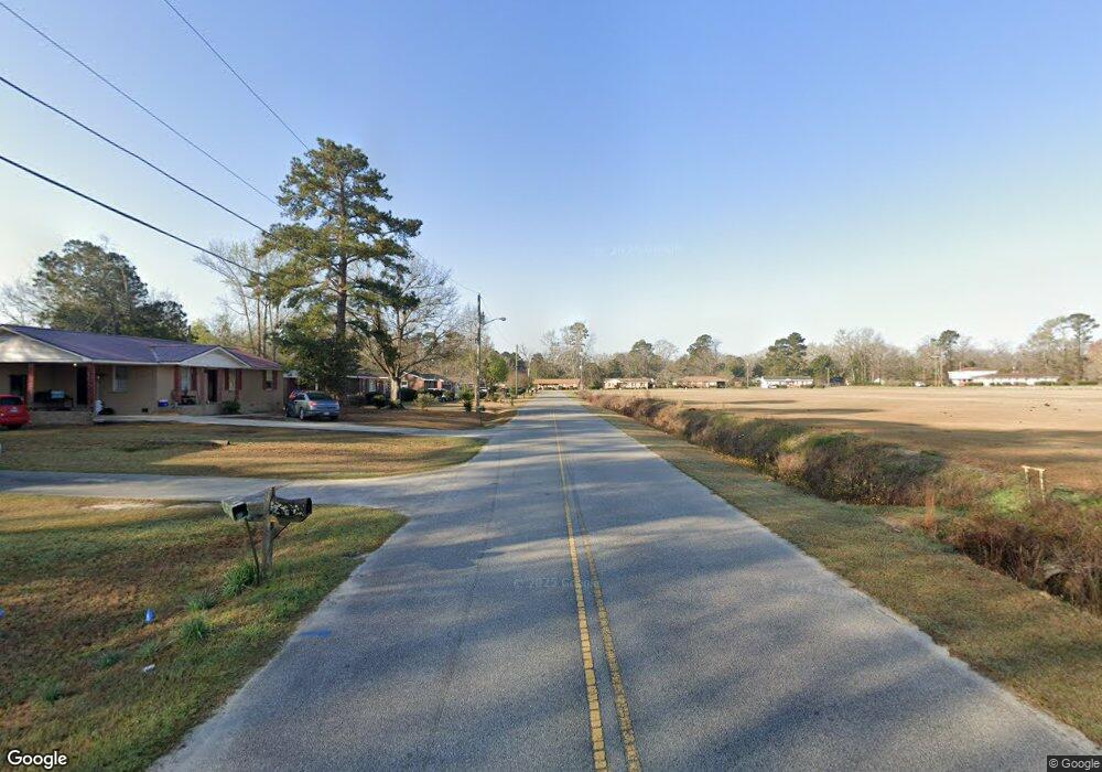
S-38-1502 Highway 301 Orangeburg, SC 29115
Estimated Value: $285,000 - $328,000
4
Beds
3
Baths
4,541
Sq Ft
$68/Sq Ft
Est. Value
About This Home
This home is located at S-38-1502 Highway 301, Orangeburg, SC 29115 and is currently estimated at $309,333, approximately $68 per square foot. S-38-1502 Highway 301 is a home with nearby schools including Whittaker Elementary School, Whittaker Elementary, and Robert E. Howard Middle School.
Ownership History
Date
Name
Owned For
Owner Type
Purchase Details
Closed on
Feb 28, 2024
Sold by
Holland-Knowles Pamela A
Bought by
Soulier William
Current Estimated Value
Home Financials for this Owner
Home Financials are based on the most recent Mortgage that was taken out on this home.
Original Mortgage
$272,000
Outstanding Balance
$267,450
Interest Rate
6.6%
Mortgage Type
New Conventional
Estimated Equity
$41,883
Purchase Details
Closed on
Jun 8, 2001
Sold by
Brailsford William M and Brailsford Donna F
Bought by
Holland Knowles Pamela A
Create a Home Valuation Report for This Property
The Home Valuation Report is an in-depth analysis detailing your home's value as well as a comparison with similar homes in the area
Home Values in the Area
Average Home Value in this Area
Purchase History
| Date | Buyer | Sale Price | Title Company |
|---|---|---|---|
| Soulier William | $320,000 | None Listed On Document | |
| Holland Knowles Pamela A | $145,000 | -- |
Source: Public Records
Mortgage History
| Date | Status | Borrower | Loan Amount |
|---|---|---|---|
| Open | Soulier William | $272,000 |
Source: Public Records
Tax History Compared to Growth
Tax History
| Year | Tax Paid | Tax Assessment Tax Assessment Total Assessment is a certain percentage of the fair market value that is determined by local assessors to be the total taxable value of land and additions on the property. | Land | Improvement |
|---|---|---|---|---|
| 2024 | $995 | $13,587 | $1,077 | $12,510 |
| 2023 | $750 | $11,046 | $894 | $10,152 |
| 2022 | $722 | $11,046 | $894 | $10,152 |
| 2021 | $721 | $11,046 | $894 | $10,152 |
| 2020 | $704 | $11,046 | $0 | $0 |
| 2019 | $707 | $11,046 | $0 | $0 |
| 2018 | $539 | $10,404 | $0 | $0 |
| 2017 | $519 | $10,404 | $0 | $0 |
| 2016 | $518 | $10,404 | $0 | $0 |
| 2015 | $490 | $10,404 | $0 | $0 |
| 2014 | $490 | $10,404 | $894 | $9,510 |
| 2013 | -- | $7,344 | $596 | $6,748 |
Source: Public Records
Map
Nearby Homes
- 2130 Ivy Rd
- 1069 Colonial Dr SE
- 0 Estate Ct
- 147 Laquinta Dr
- 1274 Hodson Dr
- 1527 Middlepen Rd
- 1172 Wisteria Dr
- 2876 Charleston Hwy
- 1170 Glenwood Dr
- 2796 Charleston Hwy
- 1549 Brentwood Dr Unit 1
- Dunbar II Plan at Dunbar Village
- 955 Rodney Rd
- 1030 Five Chop Rd
- 927 Rodney Rd
- 0 Charleston Hwy Unit 614830
- 919 Rodney Rd
- 0 Aaron St
- 388 Woodbine Dr
- 330 Woodbine Dr
